Tumbes
Francisco Pizarro landed here in 1532. The Spanish called the place Tumbes before they walked south to meet Atahualpa at Cajamarca and change the shape of two continents, and the name has stuck through five centuries of floods, border disputes, and disappointments. Today's Tumbes is what Wikivoyage calls, with unusual bluntness, 'gritty and mostly unpleasant' - a city of low concrete buildings, motorcycle taxis swarming the streets, and scams that work the bus terminals. But almost no one comes to Tumbes for Tumbes. They come because the city is the last stop before a border, and because the flats around it hide one of South America's strangest ecosystems.
Where the Pacific Has Mangroves
Pacific mangroves barely exist. The cold Humboldt Current chills most of South America's western coast, making the water too cool for the trees that thrive in the warm Caribbean. But north of Tumbes, where the Humboldt finally falters and tropical water from the Panama Current takes over, mangroves return. They cluster on the border with Ecuador in a network of brackish channels called the manglares, where black mangroves and red mangroves stand on their stilt roots above brown water, their roots strung with oysters. Fishermen pole shallow wooden boats through them. Egrets stalk the edges. It looks like the Everglades and it happens nowhere else on the Peruvian coast.
Cerros de Amotape
Inland, the land turns dry. Cerros de Amotape National Park protects a Pacific dry forest that shares ecological relatives with the deciduous woodlands of Mexico and the Andean slopes of Colombia. The endangered Tumbes crocodile - Crocodylus acutus, American crocodile - still survives here in reduced numbers, and a small zoo in the region is trying to breed them back toward viability. Jaguarundis move through the undergrowth. Squirrel monkeys troop overhead. The park is dry enough to feel almost like scrub, then cracks open into gallery forests along the Tumbes River where the biodiversity suddenly concentrates. It is one of South America's least-visited national parks, and that is partly why the rare species are still there.
A Border Town's Economy
Tumbes lives from the Panamerican Highway and from the border at Aguas Verdes, 30 kilometers east. Buses from Lima, Piura, and Chiclayo roll through around the clock, and the streets swarm with trimotos - three-wheeled motorcycle taxis - that will take passengers anywhere in town for a few soles. International buses bound for Guayaquil in Ecuador wait at the joint frontier post where Peruvian and Ecuadorean officials now sit literally side by side, processing exits and entries at adjacent desks. The city's scam economy is notorious: fake taxi drivers who offer cheap rides to the border and then demand a hundred dollars at a secluded stop; currency exchangers slipping counterfeit soles into handfuls of change. Combis are safer than private cars. The police know all of this and do surprisingly little about it.
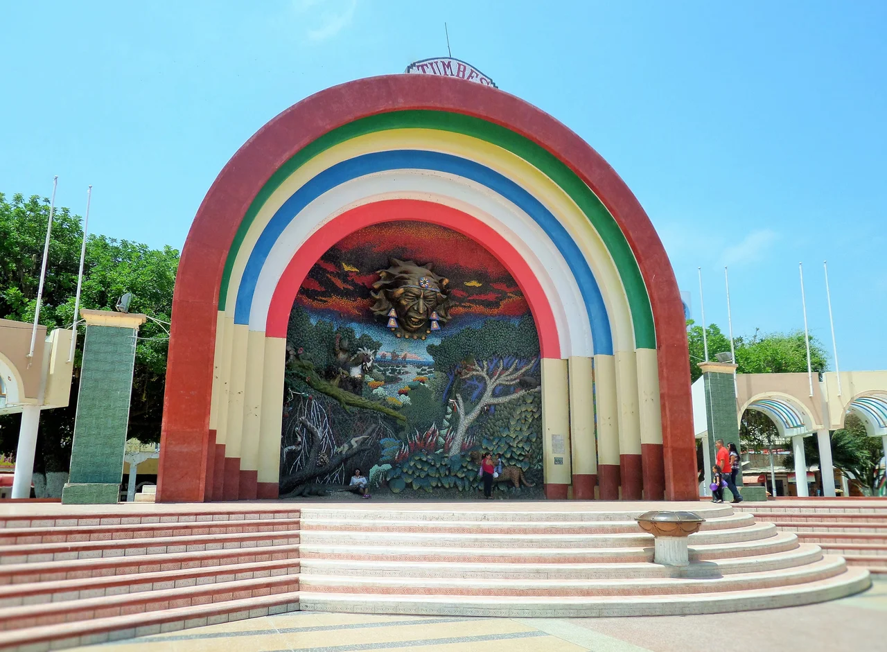
Mosaics and a Malecon
The city does have its moments. The Plaza de Armas is ringed with ceramic murals, and a six-meter, three-dimensional mosaic of Jesus ascending into heaven stands at one end of the plaza - an eccentric piece of public religious art at a scale most cities would not attempt. The malecon along the Tumbes River offers an evening walk past fishing boats and old colonial facades. Seafood is plentiful and cheap - ceviche, naturally, with the unusually sweet black shells called conchas negras that filter out of the mangroves. The chifas along Feijoo Street serve Peruvian-Chinese food shaped by a century of Cantonese immigration. For a city whose dominant literature is warnings, Tumbes keeps managing to surprise the travelers who stop long enough to look.
Punta Sal and the Beaches
South of Tumbes the coast turns tropical for the last hundred kilometers of Peru. Mancora, just down the Panamerican, is the surf resort that draws backpackers and weekend crowds from Lima. But closer to Tumbes itself, Punta Sal, Zorritos, and Puerto Pizarro offer quieter beaches, a near-constant onshore wind, and the warmest ocean water in Peru. At Puerto Pizarro, wooden boats take visitors out to small mangrove islands where lunch is prepared on wood fires and the only access is by water. A crocodile zoo there is part conservation project, part roadside attraction. The boats come back as the sun drops behind the mangroves, and Tumbes, for a few hours, looks like a tropical town instead of a transit point.
From the Air
Coordinates 3.57 S, 80.45 W, elevation roughly 20 meters. Tumbes sits on Peru's far northwestern coast, 30 km from the Ecuadorean border. From 5,000-10,000 feet the Tumbes River delta and the mangrove network to the north are distinctive: brown and green estuarine channels where Pacific coast meets tropical forest. Cerros de Amotape rises to the south. Nearest airport is Capitan Pedro Canga Rodriguez (SPME/TBP) northeast of the city, with daily LATAM service to Lima. Tropical climate; best visibility in the dry season (June-November). El Nino years bring heavy rain and occasional catastrophic flooding.
Nearby Stories
- Loja Province 20 km away
- Zaruma 24 km away
- Department of Tumbes 29 km away
- Máncora 34 km away
- Machala 41 km away
- 2023 Guayas earthquake 54 km away
- Los Organos 70 km away
- Las Vegas culture (archaeology) 123 km away