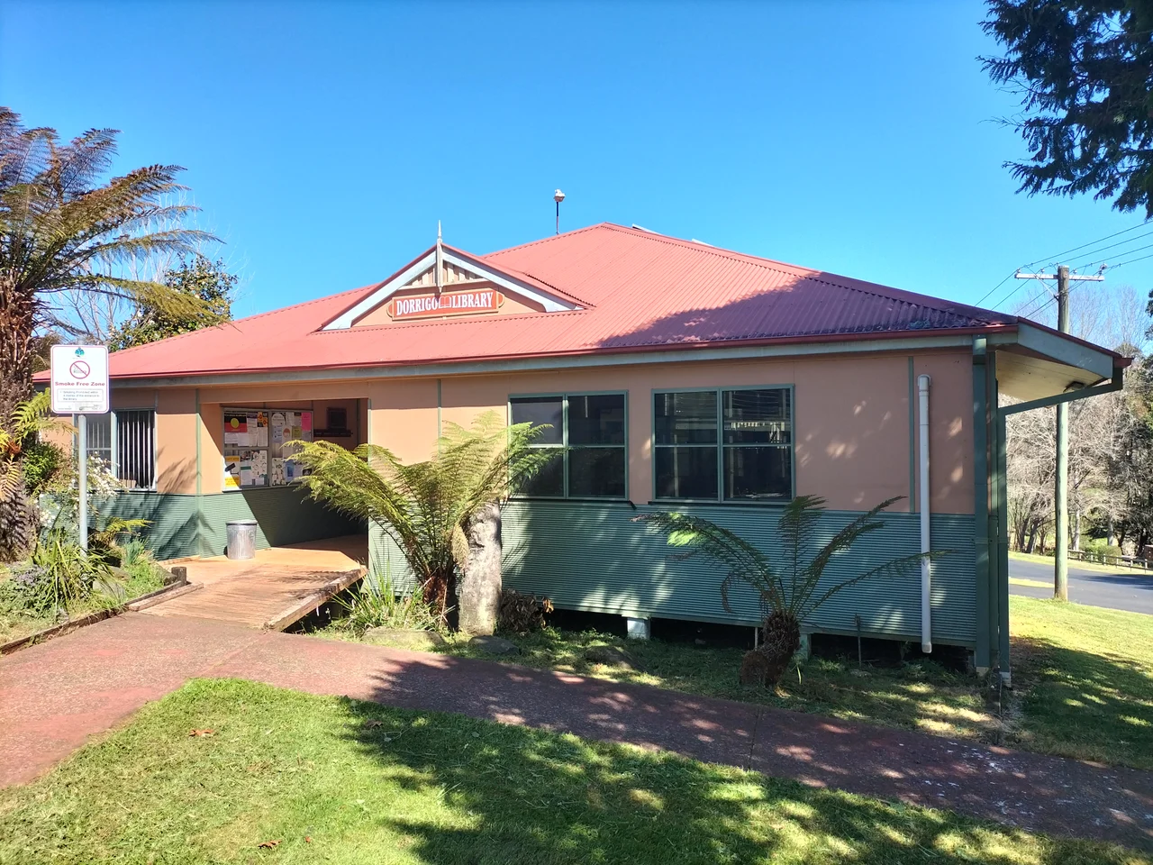

Dorrigo, New South Wales
The rain is part of the deal in Dorrigo. Nearly two metres of it falls here in an average year, making this one of the wettest towns in New South Wales, and the town wears it well: green paddocks, mist hanging in the gullies, the smell of wet pasture. Dorrigo sits at 731 metres on its own plateau, high above the Bellinger Valley, where the New England escarpment makes its last stand before tumbling to the coast. The cool air and the relentless damp explain everything about the place, from the dairy herds to the rainforest at its doorstep.
Stringybark Country
The town's name comes from the Gumbaynggirr language, from a word rendered as Dundurriga, meaning stringybark, the tree that grows across the plateau. The Gumbaynggirr people lived on and moved through this high country long before any timber cutter arrived, and the plateau remains their country. The European story here is recent by comparison and begins, as so much of the local landscape does, with a tree, the prized Australian red cedar that drew the first outsiders up from the valleys below.
Cedar, Then Cream
By 1841 timber cutters had pushed into the Bellinger River searching for red cedar, the soft, richly coloured timber that Australians called red gold. They worked one stand of giant trees and moved to the next, following old Aboriginal routes up onto the plateau. When the best of the cedar was gone, the cleared land was turned to dairying, and for generations cream and butter were the lifeblood of the plateau. A railway once climbed the steep range from Glenreagh to carry it all down to the coast, until flood damage closed the line for good in October 1972. Timber and dairy still shape the town today, even as tourism grows.
The Last Hot-Metal Paper
For more than a century, Dorrigo kept a small piece of newspaper history alive. The Don Dorrigo Gazette, first published in 1910, was believed to be the last newspaper in Australia still printed using hot-metal typesetting, with lines of type cast in molten metal and locked into a press, a craft that vanished almost everywhere else decades ago. The Gazette held on until July 2023, when rising costs and competition from social media finally closed it. With its final edition, one of the last working letterpress newspapers in the country fell silent.
When the Sky Opens
Set high on a plateau in the path of moisture rolling off the Pacific, Dorrigo has seen some of the most extreme weather in the state. On 24 June 1950, 636 millimetres of rain fell in a single 24 hours, a state record for daily rainfall. In February 1954, a tropical cyclone that had crossed the coast near Tweed Heads dumped an astonishing 809.2 millimetres on a Dorrigo weather station in 24 hours — the highest daily rainfall total ever recorded anywhere in New South Wales. The town has known hail banked up in the streets and even snow on the plateau. To live in Dorrigo is to live with weather that arrives, sometimes, by the half-metre.
Gateway to the Rainforest
Most travellers come to Dorrigo for what lies just east of it. Five kilometres down Dome Road, the plateau breaks away at Dorrigo National Park, a World Heritage remnant of Gondwana rainforest where a Skywalk reaches out over the escarpment and waterfalls pour off the tableland edge. The town is the natural base for it, the place to fuel up, warm up and dry out before walking among six-hundred-year-old trees. Around 1,000 people call Dorrigo home, custodians, in a way, of the road that delivers everyone else to the forest.
From the Air
Dorrigo lies at 30.40 degrees south, 152.75 degrees east, perched at 731 metres on the Dorrigo plateau at the edge of the New England escarpment, about 64 km west of Coffs Harbour and 580 km north of Sydney. From the air the town shows as a small grid of streets ringed by bright green dairy pasture on the plateau top, with the dark mass of Dorrigo National Park rainforest pressing against its eastern edge where the land drops to the Bellinger Valley. Recommended viewing altitude is 3,000 to 5,000 feet AGL. This is one of the wettest places in New South Wales, so expect frequent low cloud, mist over the gullies and rapidly changing visibility. Nearest airport is Coffs Harbour (YSCH) on the coast to the east; Armidale (YARM) lies west across the tablelands.
Nearby Stories
- Wollomombi Falls 29 km away
- South West Rocks Pilot Station Complex 43 km away
- Guy Fawkes River National Park 44 km away
- Glen Innes Showground 58 km away
- Angourie, New South Wales 65 km away
- Apsley Falls 68 km away
- Yamba, New South Wales 98 km away
- SS Elingamite: Gold, Fog, and a Captain Wrongly Blamed 1803 km away