.jpg)
East Frisian Islands
German schoolchildren on field trips to the North Sea coast learn a slightly improper sentence to remember the seven inhabited East Frisian Islands in order: Welcher Seemann liegt bei Nanni im Bett. Which sailor lies beside Nanni in bed. The initial letters give you Wangerooge, Spiekeroog, Langeoog, Baltrum, Norderney, Juist, Borkum - east to west, the only sequence that matters when planning a ferry. The mnemonic survives because the islands themselves keep moving, slowly drifting eastward as the sea eats their western ends and rebuilds their eastern tips. The names stay put. The sandbars beneath them do not.
Seven Personalities
These are not interchangeable resorts. Borkum, at the western end near the Dutch border, is the biggest and busiest, a state-approved spa town with proper streets and cars. Juist is the longest at seventeen kilometers, slim as a finger, and entirely car-free. Norderney is the lively one - the first German seaside resort, founded in 1797, with restaurants, bars, and a faintly cosmopolitan air. Baltrum, between them, is tiny and quiet. Langeoog has a fourteen-kilometer beach and a no-cars policy enforced even on the doctors, who get around by bicycle. Spiekeroog forbids cars and discourages bicycles too; the main local transport is your own legs and, occasionally, a horse-drawn tram. Wangerooge, at the eastern end, has a narrow-gauge railway that is the only one still operated by Deutsche Bahn.
The Wadden Sea Between
What makes these islands so distinctive is what lies on their landward side. The Wadden Sea is the world's largest unbroken intertidal mudflat system, a UNESCO World Heritage Site stretching from the Netherlands up through Germany and into Denmark. Twice a day the tide retreats and a vast plain of mud and sand emerges between the islands and the mainland coast. Licensed Wattfuehrer guides lead walking parties out across it, sometimes all the way to an island. Going alone is genuinely dangerous: the tide returns faster than people can run, channels fill silently from behind, and the famous North Sea fog can erase every landmark in minutes. Every year someone underestimates this and someone dies.
Tea, Schnaps, and Rock Candy
The islands are, culturally, still East Frisian. That means tea, lots of it, served in a specific ritual. A piece of rock-candy sugar called a Kluntje goes into the cup, the strong tea is poured over it with a satisfying crackle, and a dollop of heavy cream is added by sliding it down the side of a spoon so that it forms a slow-rising cloud at the bottom. You do not stir. You drink in three layers: the bitter top, the sweet middle, the creamy bottom. East Frisians drink more tea per capita than the British. The local schnaps, often called Kruiden, is an herbal digestif. The local sense of humor is famously dry. The local language, Plattdeutsch, is closer to Dutch than to standard German and still spoken at home in most island households.
Islands on the Move
The islands are essentially overgrown sandbars, kept in place by sparse marram grass and a stubborn skin of dune. The North Sea pushes them constantly eastward. Langeoog's western end has migrated several hundred meters east since around 1970. On some islands, entire villages have had to be rebuilt further inland as the original sites washed away. Every island except Juist and Langeoog now has concrete groynes - stubby breakwaters - jutting from its western flank to slow the loss. The freshwater itself is fragile: each island floats on a bubble of rainwater perched precariously over the salty groundwater below. Pump too hard and the salt rises into the wells. The islanders know this. The signs in beach showers asking visitors to be brief are not decoration.
Arriving
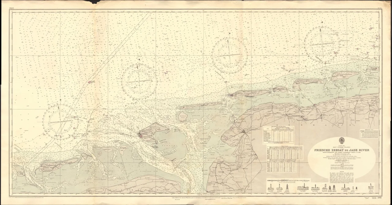
There is no bridge to any of them. Almost every island has its own dedicated mainland ferry port: Emden or Eemshaven for Borkum, Norddeich Mole for Juist and Norderney, Nessmersiel for Baltrum, Bensersiel for Langeoog, Neuharlingersiel for Spiekeroog, Carolinensiel for Wangerooge. Ferries depend on the tide, which differs day to day and place to place, so the timetable looks erratic at first glance and then perfectly logical once you understand it. Small aircraft can land on most islands but rarely save much time. The boat is the experience: an hour or so on the water, gulls trailing in the wake, the low green smear of an island slowly resolving into dunes, a church tower, a water tower, a harbor.
From the Air
The chain centers roughly on 53.73 N, 7.42 E and extends about 90 km southwest to northeast, from Borkum on the Dutch border to Wangerooge near the mouth of the Jade. At cruising altitude on a clear day the entire archipelago is visible at once - seven elongated sandy shapes parallel to the mainland coast, each separated by a tidal inlet. Major nearby airfields: Bremen (EDDW) to the southeast, Groningen Eelde (EHGG) to the west, with small island airstrips on Borkum (EDWR), Juist (EDWJ), Norderney (EDWY), Baltrum (EDWZ), Langeoog (EDWL), and Wangerooge (EDWG). Watch for restricted military airspace near Wittmundhafen (ETNT) and seasonal bird-protection zones over the uninhabited islands of Memmert, Lutje Hoern, and Mellum.
Nearby Stories
- Juist 3.5 km away
- Varel 5.6 km away
- Wilhelmshaven LNG Terminal 6.8 km away
- HVDC DolWin2 7.2 km away
- Vossbarg 10 km away
- Heligoland Bight 10 km away
- Tiefwasserreede 13 km away
- Delfzijl 14 km away