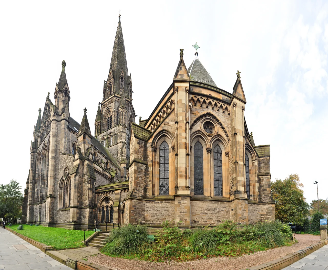

Edinburgh New Town
In 1767 the Edinburgh Town Council, despairing of the Old Town's stench and overcrowding, ran a competition for the plan of a new district on the boggy fields north of the Nor Loch. They picked a 28-year-old named James Craig. His drawing was simple and audacious: a grid of three parallel streets - George, Princes and Queen - bracketed by two grand squares, all laid out on the rumpled hillside as if the geography didn't exist. Within sixty years it was the most elegantly planned new city in Britain. UNESCO has protected it as a World Heritage Site since 1995. Eight times larger than Old Town, it took the Enlightenment and built it in honey-coloured sandstone.
Why a New Town at All
By the early 18th century Edinburgh was choking on its own success. Within the Flodden Wall the medieval city had nowhere to grow except upward - tenements rose to eleven and twelve storeys, with chamber pots emptied from upper windows accompanied by the warning shout of 'gardyloo.' Sewage drained into the Nor Loch, which sat where Princes Street Gardens are now. The 1707 Act of Union with England had made defensive walls unnecessary and lured the wealthy and ambitious south to London. Edinburgh needed to reinvent itself. The Duke of Albany - briefly King James VII, then deposed and dispatched into Jacobite exile - had pushed for expansion north as early as the 1680s, but his name was poison after the Glorious Revolution. The plan languished for eighty years until the council finally accepted James Craig's design in 1767, drained the loch, and built the North Bridge to connect the new district to the old.
Robert Adam and Charlotte Square
By 1820, Craig's grid was lined with private houses, each built by a different developer, each with its own facade. Charlotte Square at the west end of George Street is the masterpiece of the first phase. Robert Adam - perhaps the most influential British architect of the 18th century - drew the elevations in 1791, the year before he died. He treated the whole north side as a single unified palace front, with three pavilions linked by colonnades, and the residents behind it splitting their bills to maintain the illusion. Number 6 Charlotte Square is now Bute House, the official Edinburgh residence of the First Minister of Scotland. The streets north of Craig's original grid - Great King Street, Heriot Row - extended the New Town outward through the 1810s and 1820s, and the West End was added in the 1860s and 1870s. Moray Place, a stupendous circle of mansions begun in 1822, is the grandest of them all.
The Gardens and Their Owners
Private shared gardens were central to the New Town concept. Princes Street Gardens began as one - the owners of houses along the south side of Princes Street took possession of the drained loch valley and fiercely defended their view of the Old Town across the gap. When the railway companies proposed to bury tracks through the gardens between Edinburgh's two terminuses in the 1840s, the residents fought them through Parliament and the courts. They lost in 1846; the trains have run through their garden ever since, mostly hidden in cuttings. Princes Street Gardens and St Andrew Square are public parks now, but Queen Street Gardens, Dean Gardens and the centres of many squares and crescents remain private - keyed gates, residents only, a hint of the original Georgian arrangement preserved into the 21st century.
The Mound and the Scott Monument
Two structures define how the New Town meets the Old. The Mound is the artificial ridge of clay and rubble heaped up during construction from 1781 onwards - the leftover spoil from digging foundations and basements, dumped across the drained loch to make a thoroughfare. It carries the Royal Scottish Academy and the Scottish National Gallery on its summit. The Scott Monument is the 200-foot Gothic spire George Meikle Kemp designed to commemorate the novelist Sir Walter Scott; it was opened in 1846, four years after Scott's death, and you can climb its 287 narrow steps for the best view of the New Town's geometry. Bookending Princes Street are the Balmoral Hotel above Waverley Station and the Waldorf Astoria (formerly the Caledonian) at the West End - both grand railway hotels, the only fragments of Princes Street's north side that still have architectural ambition.
What Survives, What Doesn't
Princes Street itself is the great disappointment of the New Town - its retail strip has been chipped away across the 20th century to a chain-store mediocrity, redeemed only by the view south. East of St Andrew Square, the original grid was bulldozed for the St James shopping centre in the 1960s, replaced more recently by the bronze-cladded St James Quarter. The rest of the New Town has fared better. Most original townhouses have been carved into flats but their facades survive almost intact; George Street's classical fronts now wrap bars and brasseries. The pedestrian alleys of Rose Street and Thistle Street fill on Friday nights with stag and hen parties. The Stand Comedy Club operates from a basement on York Place. The Dunard Centre, a new 1,000-seat concert hall, is under construction on St Andrew Square and is expected to open in 2029. The grid endures.
From the Air
Edinburgh New Town sits on a gently sloping plateau north of the Old Town ridge, centred on 55.956 N, 3.199 W. The defining features from altitude are the absolute regularity of the Georgian grid - George Street running east-west between Princes Street and Queen Street, with St Andrew Square at the east end and Charlotte Square at the west - and the green chasm of Princes Street Gardens separating New Town from Old. The Scott Monument's blackened Gothic spire is visible immediately west of Waverley Station. Edinburgh Airport (EGPH) lies 6 nm west; the city is inside Edinburgh CTR. Recommended viewing altitude 2,000-2,500 ft on a westerly transit along the line of Princes Street, ideally at low sun angles when the grid pattern is sharply shadowed.
Nearby Stories
- Ardoch Roman Fort 2.2 km away
- Craignethan Castle 3.1 km away
- Haddington 3.8 km away
- Balvaird Castle 4.3 km away
- Battle of Kilsyth 9.4 km away
- Siege of St Andrews Castle 9.9 km away
- Neidpath Castle 11 km away
- Melrose Abbey 15 km away