
Edinburgh Town Walls
On 9 September 1513 the army of King James IV of Scotland was crushed at the Battle of Flodden in Northumberland. James himself died on the field, alongside most of the Scottish nobility. The expected English invasion of Edinburgh never came - the English had problems of their own - but the citizens didn't know that. By the following spring they had resolved to build a new wall around their town. They knew it would not stop a determined enemy. None of Edinburgh's walls ever did. But it would tax the smugglers, and it would feel safer than nothing.
The King's Wall
Some form of defensive boundary had ringed the burgh since its foundation around 1125 - timber palisades, ditches, perhaps a low stone bank. The first walls properly recorded are in the mid-15th century. In 1427 a title deed refers to the King's Wall as a property boundary. In 1450 King James II issued a charter permitting Edinburgh's burgesses to defend their town. In 1472 his successor James III ordered the demolition of houses that had been built outside the wall, hampering its strengthening. Edinburgh joined Stirling and Perth as one of only three Scottish towns to have proper medieval stone walls, though others had earth ramparts or palisades. The early line had two gates - the Upper Bow near modern Victoria Street and the Nether Bow on what is now the Royal Mile - plus smaller posterns. Excavations between 2002 and 2004 in the Cowgate revealed that the wall ran further south than historians had thought, down across the bottom of the Old Town slope rather than halfway up it.
The Flodden Wall
The Flodden Wall, begun in 1514 in the wake of the disaster, was the most ambitious of Edinburgh's defences. It was 1.2 metres thick and up to 7.3 metres high. It began at the south side of the castle, ran south across the west end of the Grassmarket through the West Port, climbed uphill along the Vennel - where a watchtower still survives - then turned east to wrap around Greyfriars Kirkyard. It continued past the Bristo and Potterow ports, behind the modern National Museum of Scotland, past the Kirk o' Field (now the site of Old College), along Drummond Street, north up the Pleasance to take in the Blackfriars Monastery, then west along St Mary's Wynd and Leith Wynd by fortifying the back walls of existing houses. The Netherbow Port, the principal gate, was a wide arch flanked by two round towers with a clock-topped central tower added in 1571. The wall enclosed a population of about 10,000 by 1560. Six gates in total controlled the flow of goods and people; only the Netherbow was the full fortified gatehouse.
How the Wall Failed
The walls proved disappointing as defensive structures. In May 1544, during what the diplomats politely called the War of the Rough Wooing, the Earl of Hertford led an English force into Scotland. After Leith fell, Hertford's gunners under Sir Christopher Morris blew open the Netherbow Port with artillery. The town burned for three days - 'so that neither within the walls nor in the suburbs was left any one house unburnt.' In 1558 Protestant Lords of the Congregation simply walked through the gate to take the town from the regent Mary of Guise. During the Marian civil war the wall was besieged twice in 1571 alone, with the great siege gun Mons Meg battering houses outside it from inside Edinburgh Castle, which was held for the deposed Queen Mary. In September 1745, as Bonnie Prince Charlie's Highlanders approached, the city was undermanned. A group under Donald Cameron of Lochiel rushed the Netherbow Port the moment its gates were opened to admit a hackney coach. Edinburgh fell without a shot.
The Telfer Wall
In 1618 the town council bought ten acres west of Greyfriars and enclosed it between 1628 and 1636 with a smaller extension known as the Telfer Wall - named after the master mason John Taillefer. Most of the new land was sold to George Heriot's Trust for the building of George Heriot's Hospital (now School), which still occupies it. Captain Theodore Dury added emplacements in 1715 against the first Jacobite rising. The walls survived through the troubles of the 18th century, but their function had become purely fiscal - controlling smuggling rather than withstanding sieges. When the Porteous Riots erupted in 1736, after Captain John Porteous of the Town Guard was lynched following his murder conviction and reprieve, the House of Lords initially demanded the demolition of the Netherbow Port as punishment. The Commons commuted the penalty to a fine. The Netherbow survived until 1764, when it was finally removed as an obstacle to traffic. The West Port and Potterow Port went in the 1780s. By then the New Town was rising on the drained Nor Loch.
Surviving Fragments
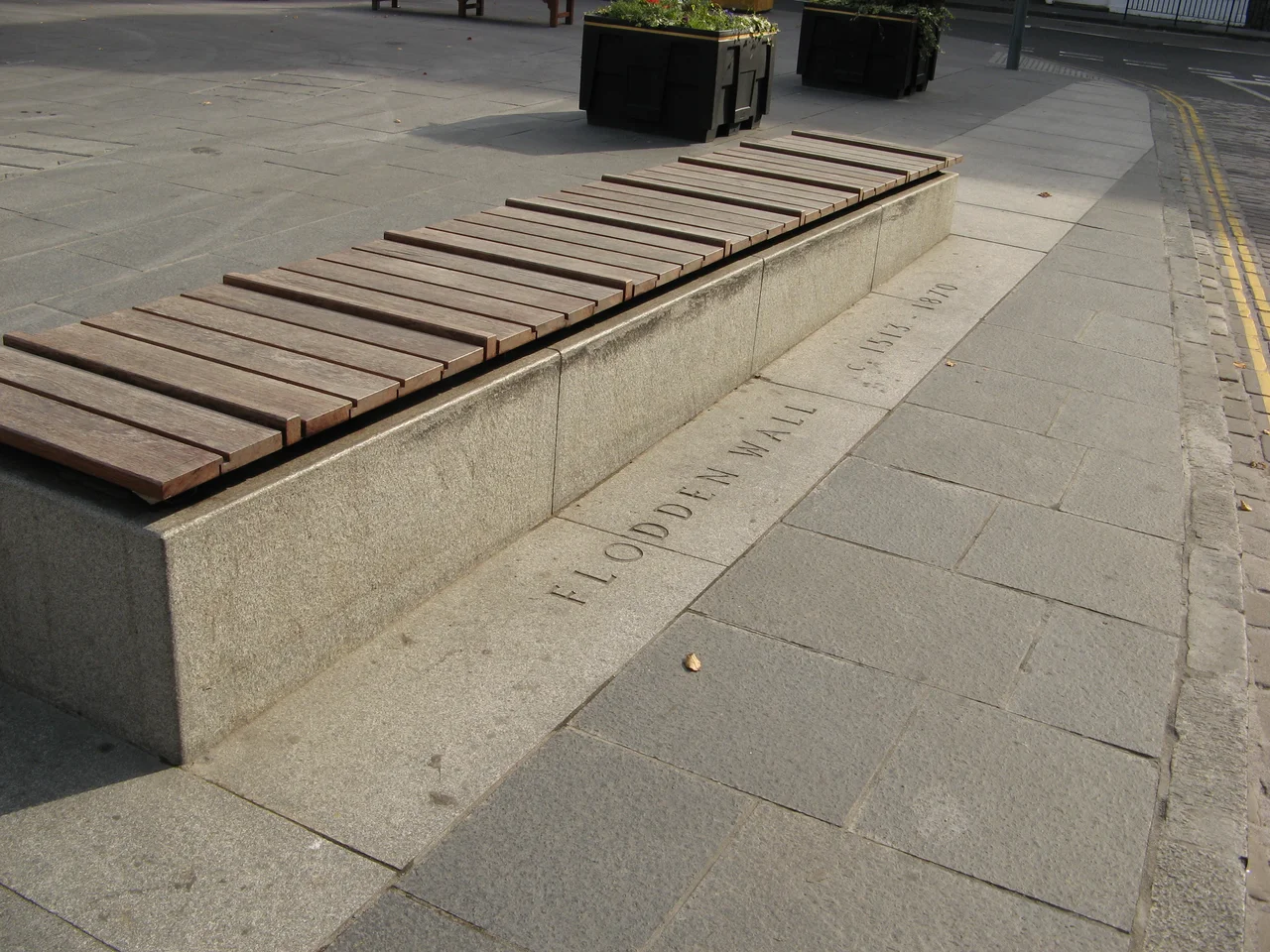
Almost nothing of the King's Wall remains, though sections may be incorporated in later buildings. A six-metre stretch of walling in Tweeddale Court off the Royal Mile, identified in 1983 by labourers restoring an old publishing house, is thought to be part of it. Four substantial sections of the Flodden Wall do survive. The longest runs along Drummond Street and the Pleasance, where it once enclosed the Blackfriars Monastery; a blocked archway at the corner marks where a demolished bastion once stood. A second section wraps the eastern edge of Greyfriars Kirkyard, still bearing the scars of the 1856 lightning strike that brought down a 40-foot stretch. A third runs north of the Grassmarket along Granny's Green Steps, incorporated into later buildings including the former Greyfriars Mission Kirk. The fourth, the Flodden Tower in the Vennel, is the last remaining bastion - two walls totalling 17.2 metres. A line of granite paving across the Grassmarket marks where the wall was uncovered during 2008 construction work. The wall fragments are scheduled monuments and form part of the Edinburgh Old Town World Heritage Site.
From the Air
The historic wall traces the southern and eastern edge of Edinburgh's Old Town ridge, centred on 55.946 N, 3.197 W. The principal surviving fragments lie along the Vennel just south of the castle, the south side of Greyfriars Kirkyard, the line of Drummond Street, and the western end of the Pleasance. The wall enclosed an area roughly half a square kilometre at its largest - tiny by modern standards. Edinburgh Castle's 130-metre basalt plug, which served as the wall's western anchor, is the most prominent landmark from altitude. Edinburgh Airport (EGPH) lies 6 nm west on the 270 radial. Recommended viewing altitude 2,500-3,500 ft on an east-west transit aligned with the Royal Mile; in good visibility the ridge geometry of the medieval city is clear, and the Salisbury Crags rise just to the southeast over Holyrood Park. The entire city is inside Edinburgh CTR.
Nearby Stories
- Ardoch Roman Fort 2.2 km away
- Craignethan Castle 3.1 km away
- Haddington 3.8 km away
- Balvaird Castle 4.3 km away
- Battle of Kilsyth 9.4 km away
- Siege of St Andrews Castle 9.9 km away
- Neidpath Castle 11 km away
- Melrose Abbey 15 km away