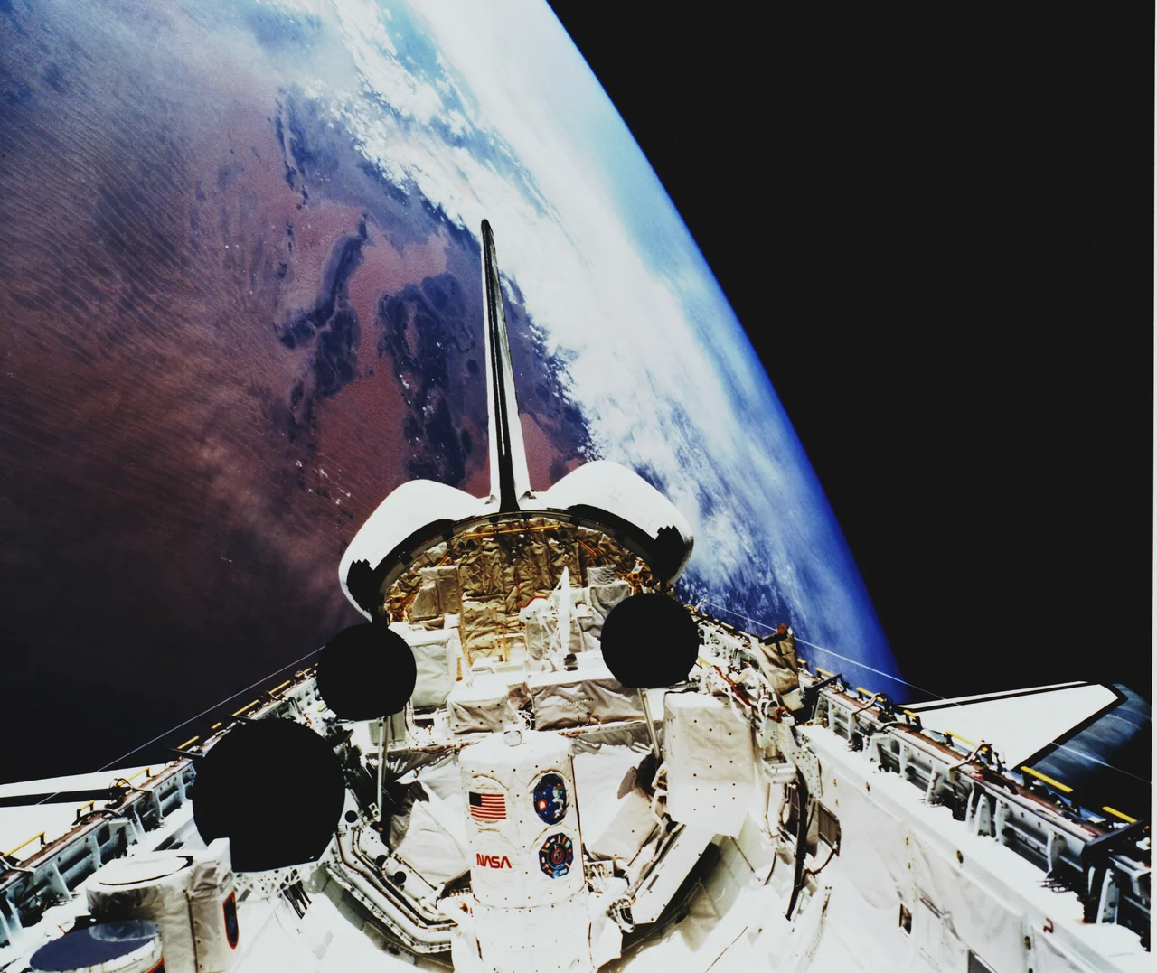

Erg Iguidi
From above, the Erg Iguidi looks combed. For 400 kilometers the dunes run in long parallel ridges, narrow and linear, as if a vast hand had dragged its fingers across the desert and left the grooves behind. This is one of the great sand seas of the northwestern Sahara, spilling across the borders of southwestern Algeria, northern Mali, and Mauritania. An erg is not just desert but a particular kind of desert — an ocean of wind-built sand — and the Iguidi is among the most striking, its dunes climbing to a high point of 540 meters above the surrounding land.
An Ocean Made of Sand
The word erg comes from Arabic and means a sea of dunes, and the comparison is exact. Like an ocean, an erg is shaped entirely by movement — here, by the wind. The Erg Iguidi's signature is its linear dunes, long straight ridges aligned by the prevailing winds rather than the crescent shapes that form where the wind shifts. Stretching some 400 kilometers, the sand sea sits in the Sahara's northwestern reaches near the Algerian town of Tindouf and spreads across into Mali and Mauritania. The dominant force here is the harmattan, the dry, dust-laden wind that sweeps down off the desert, scouring the dunes and carrying fine sand for hundreds of kilometers. It is the harmattan that builds and reshapes this landscape, grain by grain.
The Greener Desert
For all its severity, the Erg Iguidi is not entirely lifeless, and compared to its neighbor it is almost lush. To the south lies the Erg Chech, drier and harsher; the Iguidi, by contrast, is relatively humid. Groundwater gathers especially toward its north-eastern edge, close enough to the surface to matter. After the rare rains, patches of seasonal vegetation appear — grasses and low shrubs that briefly soften the dunes — and in summer herders bring animals here to graze, turning the sand sea into a temporary pasture. Among the dunes lives the slender-horned gazelle, a pale, desert-adapted antelope built for exactly this terrain, its wide hooves spreading its weight across the loose sand as it moves between the ridges.
Reading the Dunes
To stand in the Erg Iguidi is to lose every familiar reference point. The horizon is sand meeting sky, the ridges marching away in every direction, the wind erasing footprints almost as fast as they are made. Yet the dunes are not random. Their alignment records the wind, their height records time, and the scattered vegetation marks where water hides below. For the nomadic peoples of the western Sahara, a landscape like this was never empty — it was a text to be read, a place where the difference between a good season and a deadly one came down to knowing where the grass would come and where the gazelle would be. The Erg Iguidi keeps that knowledge folded into its endless ridges, waiting for anyone patient enough to learn it.
From the Air
The Erg Iguidi is centered near 26.25°N, 6.30°W, straddling the Algeria–Mauritania frontier in the area south and southwest of Tindouf, and extending toward Mali. From altitude it is unmistakable: a 400-km field of long, parallel linear dunes, golden to ochre in color, rising to about 540 m at its highest. The terrain is true sand sea with no settlements; visibility is excellent in calm conditions but can collapse rapidly during harmattan dust storms. Nearest airport is Tindouf, Algeria (DAOF) to the north. Recommended viewing altitude FL250–FL370 to appreciate the full sweep and parallel grain of the dune field; low sun angles at dawn or dusk dramatically reveal the ridge patterns.
Nearby Stories
- Sahara International Film Festival 183 km away
- Sahrawi refugee camps 203 km away
- Tindouf 233 km away
- Tiris Zemmour 324 km away
- Erg Chech 345 km away
- Taghaza 389 km away
- Taoudenni 440 km away
- Kassbet Lahrar 539 km away