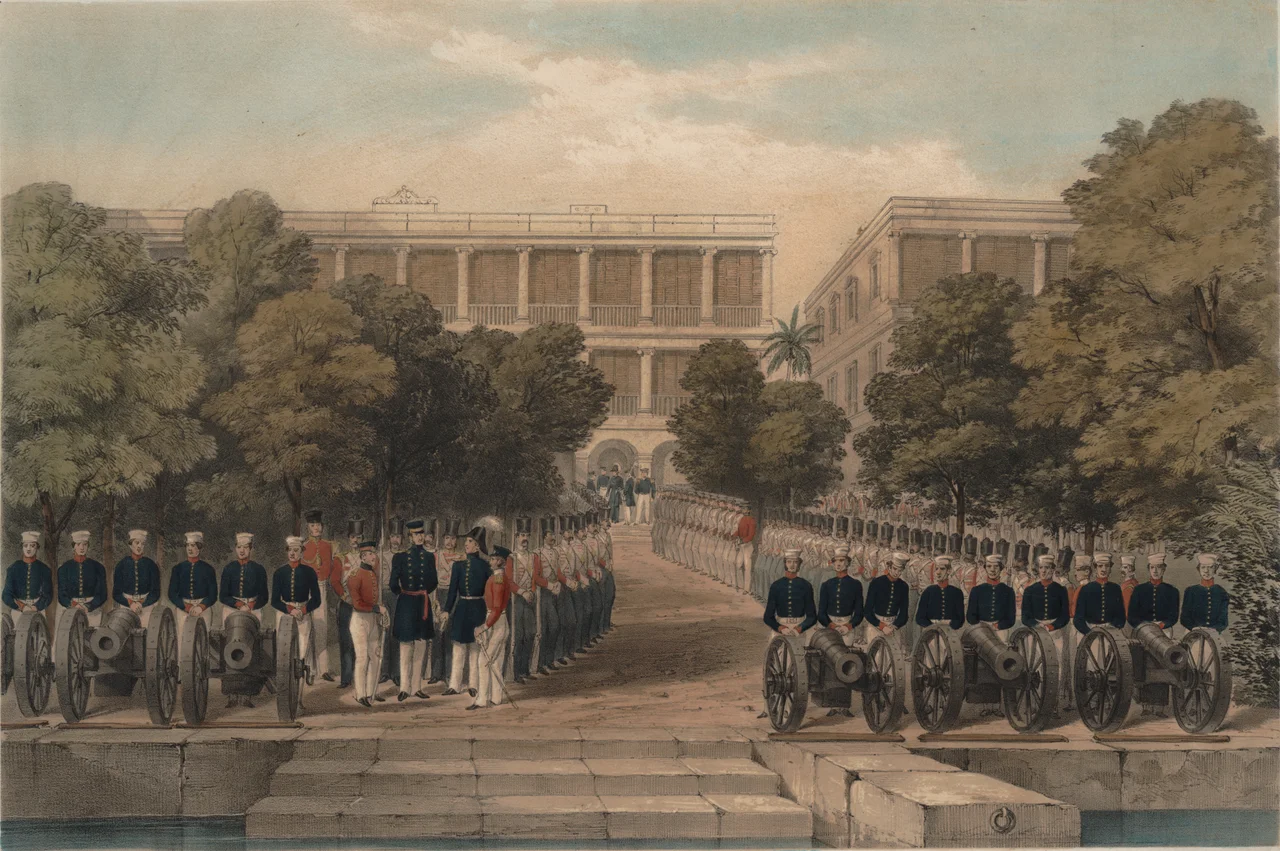

Expedition to Canton
Between the two Opium Wars there was a smaller, sharper episode that history tends to pass over quickly. In April 1847, British forces did not wait for a new war to be declared. They moved up the Pearl River and took every fort between the Humen Strait and the city of Canton in two days. The stated justification was retaliation for attacks on British subjects near the city; the practical effect was a demonstration that the river approach to Canton could be seized at will. Commissioner Keying was handed an ultimatum and given no meaningful opportunity to respond to it. The forts were taken, the point was made, and the British withdrew without attacking the city. The people on both sides of those gun emplacements — soldiers and sailors and the Cantonese defenders manning the walls — paid the immediate costs of that demonstration.
The Setting: Pearl River in the 1840s
The Pearl River delta was, in 1847, a contested geography. The First Opium War had ended in 1842 with the Treaty of Nanking, which ceded Hong Kong to Britain and opened five treaty ports — but Canton remained a flashpoint. Chinese officials dragged their feet on permitting British entry into the city, and local sentiment around Canton ran strongly against foreign presence. The forts strung along the river from the Humen Strait (the Bogue) upriver to the city walls were the physical expression of that resistance: stone and earthwork structures carrying dozens of guns each, positioned to control river traffic. By the time Hong Kong Governor John Davis determined that incidents against British subjects near Canton required a forceful response, the river's fortifications had been rebuilt and reinforced since the previous war.
Two Days Along the River
The operation began on the afternoon of 1 April 1847, when Major-General George D'Aguilar received Governor Davis's orders to proceed. At midnight, forces embarked for the Anunghoy Island position in the Humen Strait; by the following morning they were moving upriver. Anunghoy fell first, with 208 defenders present. North and South Wangtong Islands followed, with 150 and 109 respectively. Past Whampoa Island the British encountered a staked barrier across the river and continued through it: Pachow Fort with 64 defenders, Wookongtap Fort with 41, Napier's Island with 49, and Whampoa Creek with 65. The final phase covered the forts immediately outside Canton — French Folly, Dutch Folly, Rogue Fort, Zigzag Battery, Segment Battery, and Shameen Battery — each with its own garrison, each captured in turn. The numbers recorded are garrison strengths, not casualty figures; the Wikipedia article categorises this operation as a conflict without fatalities. What the garrison soldiers experienced — their capture, their subsequent treatment, their return home or not — is not detailed in the sources.
Coercion Without Conquest
The Expedition to Canton was not an attempt to capture or hold the city. Davis's objective was reparations and a public demonstration of British military reach. Once the forts were taken and that demonstration was complete, the forces withdrew. Commissioner Keying, the Qing official who had negotiated the end of the First Opium War, found himself facing demands he had no capacity to refuse. The encounter laid bare the structural imbalance that would produce the Second Opium War nine years later: Chinese authorities could not resist British military pressure along the river, and British authorities were prepared to exercise that pressure repeatedly to enforce treaty terms they interpreted in their own favour. The 1847 expedition was, in this sense, less a military action than a rehearsal — a test of what force could accomplish without the formal pretext of war.
The River Today
The stretch of water where these events unfolded is now the working Pearl River of a modern city. Ersha Island — which the British called Napier's Island and which appears in the expedition's garrison records as a captured position — is today home to the Guangdong Museum of Art and the Xinghai Concert Hall. The Humen Strait, where the operation began, is crossed by road and rail bridges carrying the traffic of one of the world's most densely populated manufacturing regions. The forts themselves no longer exist in their 1847 form; the river has been reshaped by dredging, reclamation, and construction over nearly two centuries. What remains is the river itself, and the record of what was done along it — and the understanding that the people who manned those forts were defending their city as best they could against a force they lacked the means to stop.
From the Air
The Pearl River approach to Canton, scene of the 1847 expedition, runs roughly along 23.1°N between the Humen Strait to the southeast and central Guangzhou at approximately 113.26°E. Guangzhou Baiyun International Airport (ZGGG) is at 23.39°N, 113.30°E, about 30 km north of the river. On approach from ZGGG, the Pearl River's multiple channels and the Canton Tower at 23.116°N, 113.324°E are the primary visual references. The old forts are gone, but the river's geography — the narrows, the islands, the bends — remains recognisable from low altitude.
Nearby Stories
- Shunde 12 km away
- 2015 Shenzhen Landslide 15 km away
- Mount Luofu 23 km away
- Qingyuan Maglev Tourist Line 32 km away
- Kaiping 56 km away
- Heyuan 90 km away
- Chikan, Kaiping 92 km away
- Erlitou Site Museum of the Xia Capital 1257 km away