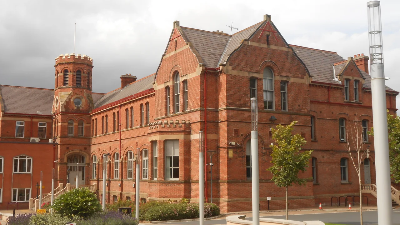

Falls Road, Belfast
Take any taxi tour of Belfast and the driver will eventually slow on a stretch of road in the lower Divis Street area, point at a five-storey wall, and let you look. Bobby Sands stares out of it - young, dark-haired, smiling slightly - above the quotation 'Our revenge will be the laughter of our children.' Sands was a Provisional IRA member who died on hunger strike in the Maze prison in May 1981 at the age of 27, having been elected an MP from his cell. The mural on the side of the Sinn Fein offices on Sevastopol Street was painted within hours of his funeral. It has been repainted many times. It is the most photographed wall in Belfast, and it is one mural among hundreds along the Falls Road, the three-mile spine of nationalist West Belfast.
The Road's Name
The 'Falls' has nothing to do with water. It comes from the Irish tuath na bhfal - 'territory of the enclosures' - a medieval Gaelic petty kingdom whose name attached itself to the muddy cluster of cabins outside the walls of 17th-century Belfast. By the time the city industrialised, the Falls had become its largest working-class Catholic district. The road itself is the first three miles of the A501, running south-west from the city centre through Divis Street, past the lower Falls, the middle Falls at Beechmount, and the upper Falls to where it meets the Glen Road at Andersonstown. Catholic families flooded in during the 19th century to work the linen mills - women on the spinning frames, men on the looms - and the side streets were named for whoever owned the mill: Alexander, Milford, Craig. Most of those mills are gone. The streets keep the names.
Pound Loney and the Tower
Just past the city centre, where the road begins, used to be a warren of tiny terraced streets known as the Pound Loney - the most densely populated working-class district in Ireland. In the late 1960s Belfast Corporation decided to clear it. They demolished thousands of houses and built the Divis Flats complex, twelve concrete blocks topped by the twenty-storey Divis Tower. Three months after the flats opened in August 1969, sectarian rioting in Percy Street and Dover Street displaced hundreds of families and effectively launched the next thirty years of the Troubles. The British Army installed an observation post on top of the tower in 1986 and stayed until 2005. By then the rest of the flats had been demolished thirty years after they were built, replaced with low-rise terraces. Divis Tower still stands. The observation post is gone. The view from the roof, residents say, has never been better.
The International Wall
Where the Falls meets Northumberland Street stands a long brick gable known to nearly everyone in Belfast as the International Wall - a constantly-rotating display of political murals connecting West Belfast to liberation struggles around the world. Nelson Mandela has been on it. So has the Palestinian flag. So have the Catalan independence movement, the Basque country, Cuba, the Zapatistas, Kurdish women's militias, and during the COVID-19 pandemic, the NHS. In 2023 a panel calling for a Gaza ceasefire went up. The wall is repainted regularly by local artists working from sketches agreed by community groups. Across the road, fixed in place, the Bobby Sands mural watches. The Garden of Remembrance opposite Conway Street lists the names of the IRA dead and the civilians from the area killed during the Troubles. The murals are not subtle and were not painted to be.
The Mills, the Churches, the Pubs
Long before politics, the Falls was an industrial street. The lower section once had nineteen working linen mills; the gable walls of two flour mills - Neill's and Andrews's - still stand. The Andrews family that built one of them came from Comber and produced both Thomas Andrews, the Titanic's designer, and J.M. Andrews, the second Prime Minister of Northern Ireland. Three Catholic churches anchor the road. St Mary's at Chapel Lane, opened in 1784, is the oldest in Belfast - built when Catholic worship had only just become legal in Ireland. St Peter's Cathedral, twin spires rising above Albert Street, has been the seat of the Bishop of Down and Connor since 1986. Clonard Monastery near the Springfield Road was where Father Alec Reid kept the back-channel negotiations going that eventually led to the IRA ceasefire of 1994. Some of the great Falls Road pubs survive: Kelly's Cellars on Bank Street, dating to 1720, where the United Irishmen reputedly drank in the 1790s.
The Peace Line
One street, Northumberland Street, cuts across the Falls. On the other side is the Shankill Road, the heart of working-class loyalist Belfast. The two communities live within shouting distance of each other and have a 22-foot 'peace wall' between them - one of more than 40 such barriers still standing across the city. The Northumberland Street gates close at night. A public agreement signed in 2013 committed to removing all peace walls by 2023; almost none have come down. The Falls Road today has a different rhythm than it did during the Troubles - it has its first Michelin-recommended restaurants, a thriving Irish-language sector centred on the Gaeltacht Quarter, Raidio Failte broadcasting in Irish from a purpose-built studio at the foot of Divis Street, and the Cultúrlann McAdam Ó Fiaich arts centre in a converted Presbyterian church. The tourist buses queue at the murals. The peace walls remain. The road keeps moving.
From the Air
The Falls Road runs from 54.598°N, 5.937°W in central Belfast south-west to 54.585°N, 5.985°W at Andersonstown - a 3-mile axis through West Belfast. From the air, look for the prominent Divis Tower, a 20-storey block of flats at the road's eastern (city-centre) end - it is the only high-rise on the Lower Falls and stands out clearly against the surrounding two-storey terraces. The twin spires of St Peter's Cathedral on Albert Street and the dome of Clonard Monastery near the Springfield Road are the other landmarks. Black Mountain and Divis Mountain rise as a 478m ridge to the west, framing the road. Belfast City Airport (EGAC) is 4 nautical miles east; Belfast International (EGAA) is 11 nautical miles west-north-west. Recommended viewing altitude: 1,500-3,000 feet to pick out the linear pattern of the road, the mural-covered gables, and the peace lines snaking between the Falls and the Shankill.
Nearby Stories
- Larne 1.2 km away
- Ahoghill 3.5 km away
- Castleskreen 4.9 km away
- Lough Neagh 6.1 km away
- Kingsmill Massacre 14 km away
- Pasages (steam trawler) 23 km away
- Ballantrae Lifeboat Station 34 km away
- St Patrick's Isle 39 km away