
Georgetown: The Piece of North America in the Outback
The rocks around Georgetown do not belong to Australia. They match the rocks of northern Canada, not the rest of the continent, and geologists at Curtin University have made the case that 1.7 billion years ago this very ground was part of North America - that it broke away, drifted, and slammed into the edge of what is now Queensland near Mount Isa, helping to assemble the ancient supercontinent of Nuna. Sit with that for a moment in a town of about 254 people, baking on the Gulf Developmental Road. The frost that occasionally whitens Georgetown's winter mornings - this is among the most northerly places in Australia to record frost - is the least surprising thing about the place. The most surprising is that you are standing on a stray piece of another continent, parked here for the better part of two billion years.
Ewamian Country
Long before the geologists arrived with their theories, and long before the gold, this was - and remains - the country of the Ewamian people, the traditional owners of the land around Georgetown. Their connection to this part of the Gulf Savannah runs deep into the same deep time the rocks record, in a relationship to country that predates every map, lease and town survey laid over it. Georgetown today is small enough to walk across in minutes, but it sits within a far older human geography, one whose presence the modern town's brief gold-rush story should not be allowed to eclipse.
A Gold Commissioner's Name
The European town was born of a gold rush on the Etheridge River in the 1870s, established right on the site of the diggings. At first it was simply called Etheridge, after the river and the field. In 1871 the name changed to Georgetown, in honour of Howard St George, an early gold commissioner - and so a frontier mining camp came to carry the dignified name of the official who policed it. The post office opened in January 1872, the state school in 1874, and the town settled into the rhythm of a goldfield service centre. As at Croydon and across north Queensland's fields, Chinese miners prospected here too, and the town once held one or possibly two joss houses. By 1900 the gold was fading and grazing had taken over as the region's economic mainstay - the pattern that has sustained Georgetown ever since.
The Terrestrial Centre
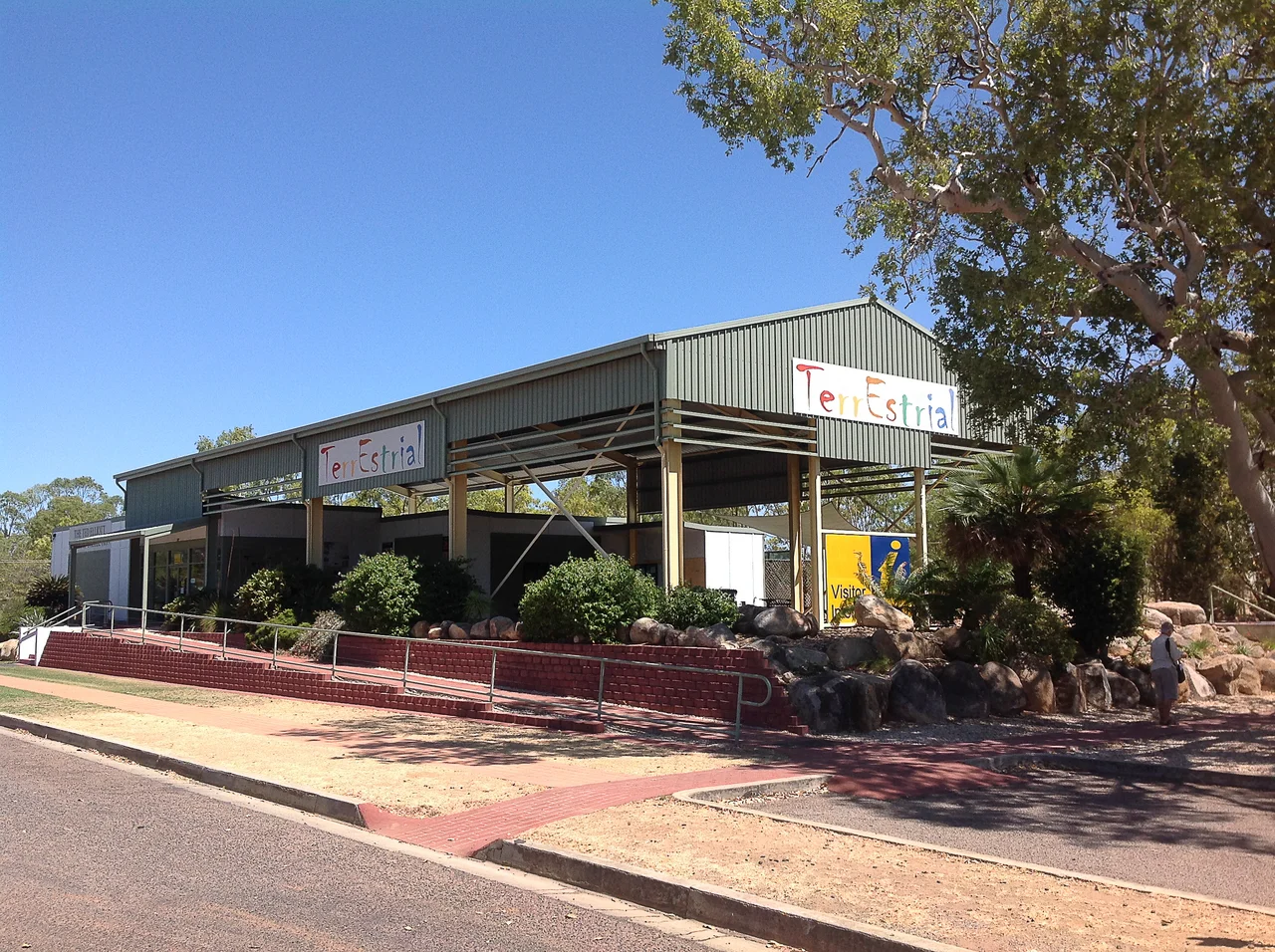
For a town this size to hold a world-class mineral collection is improbable, and Georgetown holds one anyway. The Terrestrial Information Centre houses the Ted Elliot Mineral Collection - more than 4,500 mineral specimens, gathered from across the local district and around the world. It is the kind of collection you would expect in a capital-city museum, set down instead beside a tourist information desk in the outback, a quiet monument to one collector's obsession and to the mineral-rich geology that made this whole region matter. The centre's very name nods to the strange ground it stands on: terrestrial, of the earth, in a place where the earth itself has an unusually long and well-travelled story to tell.
The Cumberland Chimney
About 20 kilometres west of Georgetown, a single square brick chimney stands alone on the plain - all that remains of the town of Cumberland, once among the largest and most productive gold mines on the Etheridge field. Gold was found here in 1872, and at its peak in the 1880s Cumberland held around 400 people and a highly mechanised operation, with steam engines driving the ore-crushing batteries. The chimney itself was raised in 1899, built by Cornish masons who carried the stoneworking traditions of Cornwall's own mines to the far side of the world. Everything else is gone. The chimney and its dam now make a lonely, photogenic camp, the lagoon below it loud with birds - though, as at so many old workings, some of the ground stays contaminated, and the warning signs mean what they say.
From the Air
Georgetown sits at 18.30 degrees south, 143.55 degrees east, on the Etheridge goldfield in the Gulf Savannah of far north Queensland, on the Gulf Developmental Road roughly midway between the coast at Cairns and the Gulf of Carpentaria. From altitude it reads as a small grid on a broad, gently undulating plain, the Etheridge River threading nearby and the long ribbon of the developmental road running east-west through town; the lone Cumberland chimney and its dam lie about 20 km to the west. Georgetown Airport (ICAO YGTN, IATA GTT) is about 1 nautical mile south-west of town. Cairns (YBCS) is the regional hub to the east, and Mount Surprise (the eastern end of the Savannahlander's run) lies to the north-east. The dry season (roughly April to mid-November) brings warm days, surprisingly cool mornings and excellent visibility; the wet season concentrates ferocious monsoon rain into a few weeks and can flood the surrounding country.
Nearby Stories
- Undara Volcanic National Park 52 km away
- Croydon: The Gold Town the Outback Kept 89 km away
- Chillagoe Smelters 114 km away
- Mungana Archaeological Area 139 km away
- Normanton to Croydon Railway Line 152 km away
- Porcupine Gorge 200 km away
- Millungera Station 211 km away
- Great Northern Railway (Mt Isa line) 246 km away