.JPG)
Glen Innes, New South Wales
Thirty-eight rough-hewn granite monoliths stand in a ring on a hilltop above Glen Innes, aligned to the solstices, the equinoxes, and the Southern Cross. They look as though they have brooded over the tableland for five thousand years. They have, in fact, stood since 1992, when the NSW Governor unveiled the Australian Standing Stones as the national monument to every Celtic people who helped build this country. It is an audacious thing for a country town of a few thousand to attempt, and Glen Innes carries it off with a straight face and street signs in Scottish Gaelic. But the older story is written in the land's first name. To the Ngarabal people, this place is Gindaaydjin, which means 'plenty of big round stones on clear plains.' The stones, it seems, were always here.
Gindaaydjin
The original owners of Glen Innes and the surrounding plains are the Ngarabal people, and their name for the township, Gindaaydjin, reads almost like a description of the view: big round stones scattered across open, clear country. Many Ngarabal families still live in the district and continue to practise aspects of their traditional culture, a continuity that the arrival of Europeans did much to disrupt. It is worth holding both truths at once. The town's much-advertised Celtic pageantry is genuine and heartfelt, but it sits atop a far deeper human presence, one that measured this high tableland in tens of thousands of years rather than centuries, and that named those scattered stones long before anyone thought to raise new ones.
The Land of the Beardies
European settlement here begins with a piece of folklore. Around 1838, a Scottish barrister named Archibald Boyd was led to this district by two stockmen famous for their long, flowing beards. The pair, remembered as 'the Beardies,' went on to introduce other squatters to the best runs in the area, and the country took their nickname: the Land of the Beardies, or Beardy Plains. Local history offers the names John Duval and William Chandler, though it also cautions that the two may never have overlapped, and that the 'beardie' tag might owe as much to a whiskered local fish or a breed of Scottish sheepdog. The legend stuck regardless. Today the Land of the Beardies History Museum keeps the district's records, and Beardy Waters still runs through town.
A Scottish Town Built on Tin
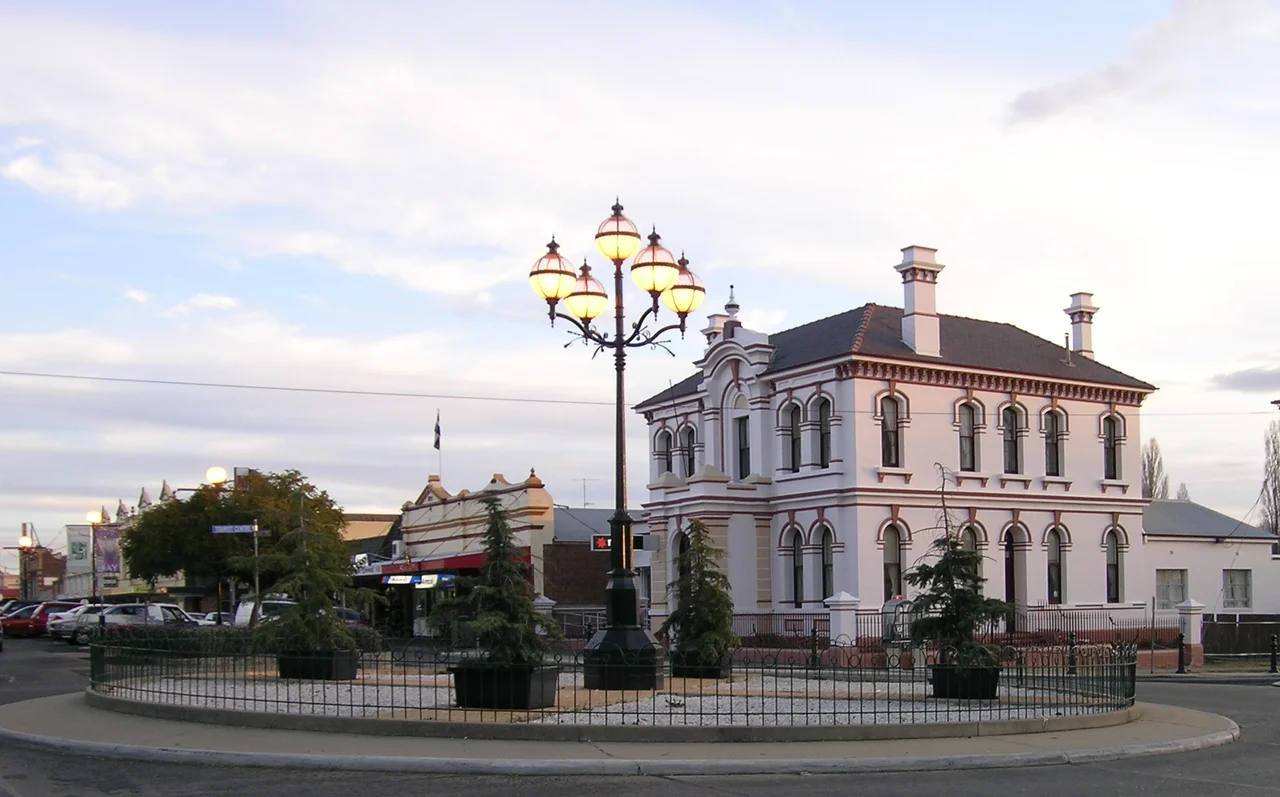
The name Glen Innes honours Captain Archibald Clunes Innes, a Caithness-born soldier who sailed to Australia in 1822 in charge of 170 convicts and amassed New England properties on a baronial scale. The town was gazetted in 1852, but it was tin that made it boom. When the metal was struck at nearby Emmaville in 1872, Glen Innes became the hub of a mining rush; by 1875 its population had swelled to around 1,500, with churches, hotels, newspapers, and the handsome Federation buildings that still line the centre, painted in their traditional colours. The Scottish theme runs through everything: Gaelic street signs that no resident can read aloud, a crofter's cottage, a twin-town bond with Pitlochry, and neighbouring places called Ben Lomond and Glencoe.
Cold Enough to Make Headlines
Glen Innes specialises in being cold. The district records some of the lowest minimum temperatures anywhere in Australia outside the Snowy Mountains and Tasmania, with hard frosts, biting winds, and snowfalls that often refuse to settle. At 6:33 on a July morning in 2019, the town registered a reading that made it the coldest place in all of Australia that year. The flip side is theatrical weather of every kind: spring brings heavy storms as moist air lifts over the surrounding ranges. West of town, the White Rock Wind Farm spins seventy turbines, each standing 150 metres tall, harvesting the same restless tableland wind that chills the streets and rattles the standing stones on their hill.
Festivals, Stones, and a Long Memory
For a small town, Glen Innes throws an outsized calendar of events. The Australian Celtic Festival fills the streets with pipes and tartan each year; Minerama draws gem hunters and fossickers; the Land of the Beardies Festival and the agricultural show keep older traditions alive. The Glen Innes Arts Council, the longest continuously running arts council in Australia, stages its own productions in a converted chapel. And always, up on its hill, the ring of stones keeps time. They were modelled on the Ring of Brodgar in Orkney and the Calanais stones on the Isle of Lewis, ancient circles that took their builders generations. Glen Innes raised its own in a single inspired gesture, a young town reaching back across the world for roots it had decided to claim.
From the Air
Glen Innes lies at 29.75 degrees S, 151.74 degrees E, where the New England Highway meets the Gwydir Highway on the Northern Tablelands. From the air, look for the Australian Standing Stones on the rise just east of the town centre, the grid of Federation-era streets, and the seventy turbines of the White Rock Wind Farm about 23 km to the west. The town's own Glen Innes Airport (YGLI / GLI) sits roughly 5 km west at about 1,047 m elevation, with two crossing runways; Armidale Regional (YARM / ARM) is around 95 km south. Winters bring frost, fog, and gusty winds; clearest flying conditions follow the passage of a cold front.
Nearby Stories
- Inverell Post Office 6 km away
- Guyra, New South Wales 16 km away
- Washpool National Park 21 km away
- Guy Fawkes River National Park 27 km away
- Ebor Falls 40 km away
- Tenterfield, New South Wales 61 km away
- Parramatta Female Factory and Institutions Precinct 416 km away
- Hornet Bank Massacre 455 km away