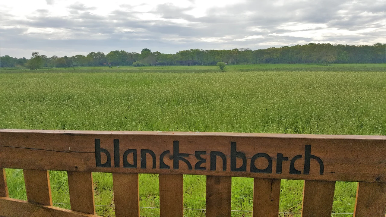
Groningen (province)
The city of Groningen and the countryside around it have never quite settled the question of which one is the real Groningen. For most of the early modern period they barely spoke to each other except in lawsuits. The city, a self-governing trade hub on the southern edge of the province, treated the surrounding farmland as a captive market and a captive labor pool. The farmland, organized into ancient regions with their own dialects and customs, treated the city as a tax collector with delusions of grandeur. When the two were forced together into a single province of the Dutch Republic in the sixteenth century, the official name acknowledged the unresolved fight: Stad en Lande, City and Countryside. The province is still called Groningen. But the rural half is still called something else - the Ommelanden, the surroundings - and the gap, four hundred years on, has narrowed but not closed.
The Wierden of the North
Cross the Reitdiep canal heading north and you enter the Hogeland, the 'High Land' that is high only by Dutch standards. The clay underfoot was deposited by the Wadden Sea over centuries, and the villages here sit on artificial mounds called wierden - earthen platforms a few meters above the surrounding fields, raised by hand over generations to keep families and livestock above the floods. The same engineering instinct that built the wierden later built the dikes, drained the marshes, and turned the salt flats into polder. The Walfriduskerk in the Hogeland village of Bedum leans noticeably to one side - more, by some measurements, than the tower of Pisa. It is the kind of detail this province offers casually, almost reluctantly, as if its monuments would prefer not to attract attention.
Slochteren and the Gas
In 1959, near the village of Slochteren in what is now Midden-Groningen, a Dutch oil exploration crew drilled what they expected to be a routine well. They found one of the largest natural gas fields in Europe. For the next half-century the Slochteren field paid for an enormous portion of Dutch public spending - schools, dikes, social security. It also, slowly, started to shake the ground. As gas was extracted, the underlying rock compacted and triggered shallow earthquakes that cracked the brick farmhouses, the church towers, and the old wierde villages of the surrounding region. By the 2010s the damage and the public anger had become a national political crisis. Production has been wound down, and an ongoing program is meant to repair or replace damaged buildings. The province paid the cost of the country's prosperity, and is still being made whole for it.
Oldambt and the Big Farms
The eastern Ommelanden tell a different story. In the Oldambt region, nineteenth-century landlords accumulated enormous holdings of grain land worked by seasonal laborers, who lived in conditions so harsh and so visible that the Oldambt became one of the last strongholds of the Dutch communist party. The same villages still hold the oversized farmhouses of those landlords - long brick buildings with elaborate gables, sitting alone in flat fields. At the village of Heiligerlee, an unassuming monument marks the spot where in 1568 the Dutch Revolt began with a small ambush and the death of a twenty-seven-year-old prince. In Winschoten - 'Windmill City' - three working windmills stand on a single street. The Oldambt is what happens when a landscape is shaped equally by wind, wheat, and a long memory of grievance.
Bourtange and Borgen
On the German border, the star-shaped fortress of Bourtange sits in a moat that has held for three and a half centuries. It was built in 1593 to control the road between Groningen and the Spanish-held east, and it has been preserved in almost original form as an open-air museum. Scattered through the rest of the province are the borgen - fortified manor houses of the old Groningen gentry, once numbering more than two hundred, now down to fewer than twenty. Menkemaborg in Uithuizen, with a fourteenth-century foundation and a moat that still floods on three sides, shows what a wealthy Hogeland family kept in its front rooms in 1700. The borgen are quiet now. Their gardens are formal. Their docent guides are exactly the kind of unhurried, knowledgeable Dutch retirees who make a small museum worth two hours of your day.
The City
And then there is the city of Groningen itself: a university town of brick and water, with one of the most lively student nightlife districts in the country and the largest church in the province. The Martinikerk on the Grote Markt dates from the thirteenth century, and its 97-meter Martini Tower can be climbed for a view that reaches across half the Ommelanden on a clear day. The Groninger Museum, on its own island in the canal south of the station, draws over 200,000 visitors a year for its modern and contemporary collection. The Hooghoudt distillery still produces the local jenever that has been drunk in Groningen pubs for centuries. The pubs themselves stay open later than anywhere else in the Netherlands. The city, in other words, has done well for itself. The Ommelanden, after four hundred years of being the other half of the name, are mostly content to leave it that way.
From the Air
Groningen province occupies the northeasternmost corner of the Netherlands, centered roughly at 53.26°N, 6.74°E. From cruising altitude in clear weather the entire province is legible: the Wadden Sea coast and tidal flats to the north, the bright green polder grids inland, the Slochteren gas field infrastructure in the center, and the German border to the east. Groningen Airport Eelde (EHGG) sits just south of the capital. Schiphol (EHAM) is roughly 200 km southwest. Bremen (EDDW) is about 170 km east across the German border.
Nearby Stories
- Low-Frequency Array 0.9 km away
- Eemshaven Railway Station 2.9 km away
- Nuis, Netherlands 3 km away
- Upstalsboom 3.4 km away
- Leer, Lower Saxony 7.9 km away
- Schiermonnikoog National Park 8.6 km away
- Börger 9 km away
- Drenthse Veenkolonien 9.9 km away