Ibitipoca State Park
The rivers run the color of weak tea - not polluted, but steeped. Organic matter from the park's shallow soils bleeds into every stream, staining the water a warm caramel that photographs like coffee but drinks clear. Ibitipoca State Park sits on a quartzite outcrop in the Minas Gerais highlands, and everything about it - the rust-colored rock, the xerophytic grasses, the caves worn into the stone over millions of years - tells the story of what happens when mountain ridges rise into thin soil and the plants that survive are the ones that can handle drought between the summer rains.
The Burst Mountain
The name is Tupi, an indigenous word carried forward from before the Portuguese arrived. *Ybytyra* meant mountain, and *pok* meant burst - together, Ibitipoca. The Tupi people were seeing what the geology would later confirm: this range looks as if something shattered it, ridges splintering across the landscape like a broken plate pushed back together by hand. The quartzite is hard rock, pale and crystalline, and where it has resisted weathering the park's peaks stand as bright spines against the green valleys below. Where erosion has won, caves have opened in the rock and waterfalls tumble into shallow pools. The toponym is literal geology, named by people who watched the mountains long before anyone named them scientifically.
Rivers the Color of Tea
Walk to any stream in Ibitipoca and you will notice the water first. It runs clear but colored - a translucent brown that deepens where pools gather. The cause is soil. The park sits on Cambisol, a shallow layer built mostly of organic material and sand from the eroding quartzite beneath. When rain falls, it steeps through decomposing leaves and humus before it reaches the rivers, and the water leaves dissolved pigment behind. The effect is striking against pale stone: dark water in white rock, tea poured over bone. The Cachoeira dos Macacos and Cachoeira da Pedra Quadrada - two of the park's named falls - drop this caramel water over quartzite ledges, and it looks, in photographs and in person, like something brewed rather than flowed.
The 360-Degree View
Pico da Lombada is the highest point in the park, a little more than 1,800 meters above sea level. What makes it remarkable is not the altitude but the geometry. Stand on its summit, and no other mountain rises high enough to block the horizon in any direction. The view is complete - 360 degrees of distance, the Minas Gerais interior flattening into haze wherever you turn. Most peaks have shoulders; this one has clearance. For hikers willing to make the walk, the reward is the rare experience of seeing horizon in every direction from a single spot, a kind of visual solitude that more crowded landscapes cannot offer.
The Window and the Walk
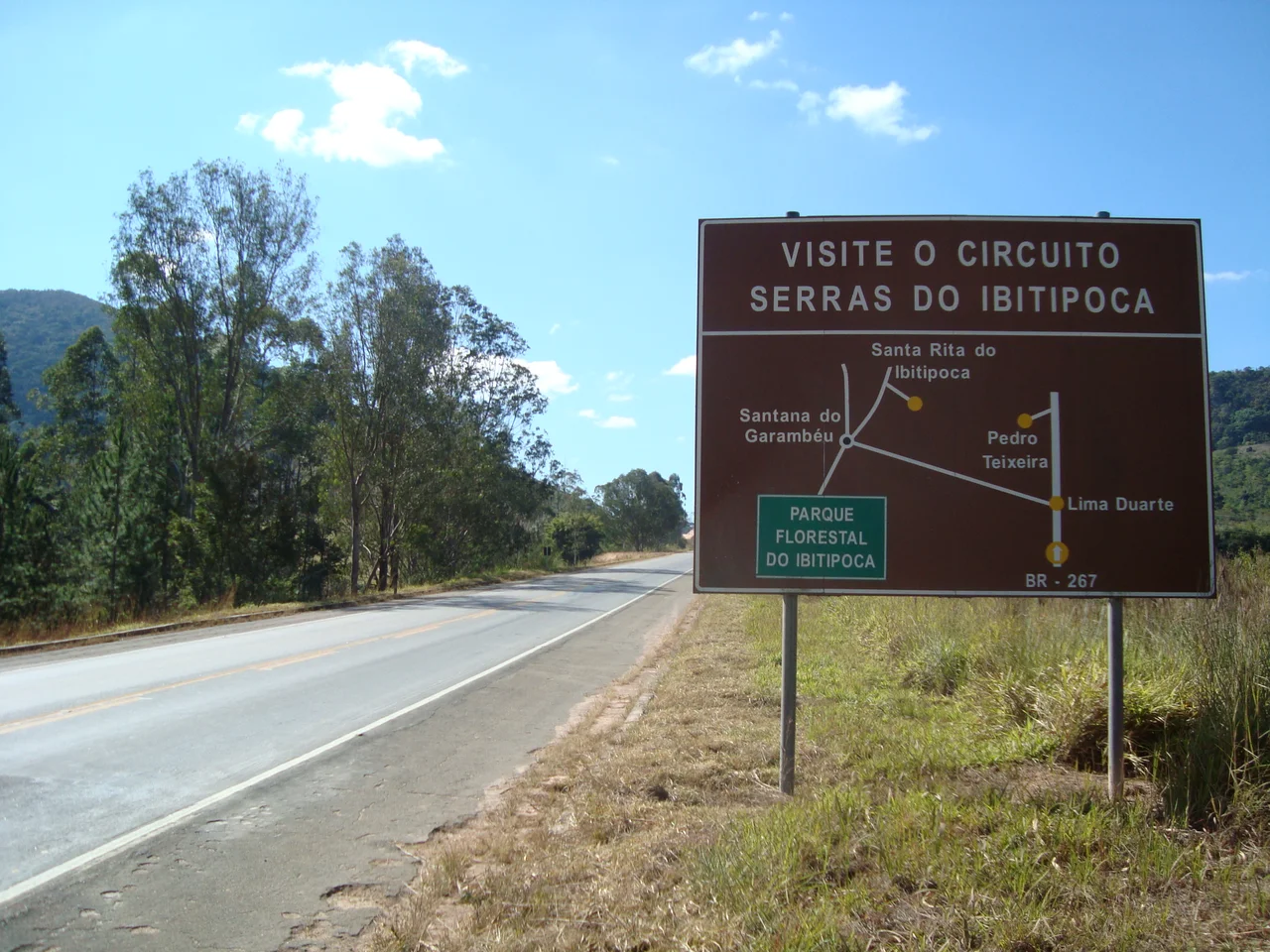
The park's most famous destination is Janela do Céu - the Window of the Sky - a cleft in the rock where water falls through an opening framed by quartzite walls. The walk to reach it is roughly 13 kilometers round trip, meaning most visitors give the better part of a day to this single trail. Another 7 kilometers round trip leads to Cachoeirinha, a smaller fall near the camp site. Ibitipoca is a walking park. The attractions are spread across the landscape deliberately - the caves, the falls, the summits - and reaching them takes time and legs. Entry is capped at 300 visitors per day on weekdays and 800 on weekends, a deliberate limit designed to keep the trails from grinding into the soil. The park was established on 4 July 1973, administered by the Instituto Estadual de Florestas of Minas Gerais, and covers 1,488 hectares in the municipality of Lima Duarte. Access is by a 27-kilometer road off BR-267, partly dirt, occasionally difficult in the rainy season - which feels, in the end, appropriate. Ibitipoca is not a drive-through park. The rivers run caramel, the mountains are burst, the view from the top is complete, and getting there should feel like arrival.
From the Air
Located at 21.72°S, 43.90°W, at approximately 1,800 m elevation at its highest point. Pico da Lombada offers 360-degree horizon views in clear weather. Nearest airport: Juiz de Fora Regional (SBJF) about 100 km northeast. Best overflight in dry winter months (May-August) when haze is minimal. Recommended viewing altitude: 8,000-12,000 ft to see the quartzite ridges rising from the surrounding Minas Gerais plateau.
Nearby Stories
- Hospital Colônia de Barbacena 27 km away
- Montanhas de Teresópolis Municipal Nature Park 47 km away
- Visconde de Mauá, Resende 47 km away
- Ubá 48 km away
- Paraiba do Sul, Rio de Janeiro 53 km away
- Leopoldina, Minas Gerais 65 km away
- Our Lady of the Rosary Church, Lavras 76 km away
- Itatiaia National Park 81 km away