
Inveresk
Robert Wedderburn walked to Inveresk to claim his father. The year was around 1778, and his mother had been enslaved on his father's Jamaican sugar plantation. His father, James Wedderburn, sat in a grand house overlooking the River Esk. The father did not deny the relationship. He called his son a 'lazy fellow' and said he would do nothing for him. From the cook, Robert got one draught of small beer. From the footman, a cracked sixpence. Robert Wedderburn walked away from his father's house in Inveresk and became one of Britain's most radical voices against slavery - a Spencean preacher, an unrepentant printer of seditious pamphlets, a man who spent two years in Dorchester Gaol for blasphemy in 1820. The house he was turned away from is still here, set in National Trust gardens above the Esk.
The Romans and the Ridge
Inveresk sits on slightly raised ground, twenty to twenty-five metres above sea level, on the north bank of a loop of the River Esk just south of Musselburgh. The Gaelic name Inbhir Easg means simply river-mouth - the prefix Inver marks the point where the Esk meets the Firth of Forth. The Romans got here first. In the second century AD they built Inveresk Roman Fort on this hilltop, a cavalry installation guarding the eastern approach to their lines. Around AD 200 the fort was active; in 2004 archaeological excavations by Headland Archaeology found Roman artefacts on Inveresk Brae. The lands were gifted to Dunfermline Abbey in the twelfth century. During the war known as the Rough Wooing, the catastrophic Battle of Pinkie was fought in and around Inveresk in September 1547 - a disaster for the Scots, sometimes called Black Saturday, in which an English army crushed a much larger Scottish force. An artillery fort was built at Inveresk two years later.
The Montpellier of Scotland
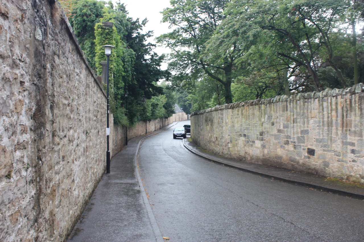
Inveresk centres on a single curving street of fine seventeenth- and eighteenth-century houses. Its location, considered both agreeable and healthy, earned the village the nickname the Montpellier of Scotland - a comparison with the French city famous as a medical and spa centre. The village has been a conservation area since 1969. Inveresk Lodge dates from 1683 and is now privately leased, but its west-facing gardens overlooking the river belong to the National Trust for Scotland and are open to the public. This was the mansion where James Wedderburn refused his son. Other notable houses line the village: Halkerstoun from around 1690, the Manor House from 1748, Catherine Lodge from 1709, Eskhill belonging to Thomas Mylne in 1710 and incorporating a finely carved 1760 doorpiece moved from a demolition in Edinburgh's George Square in the 1970s. Inveresk House dates from at least 1643 and is one of the oldest in the group. The war memorial south of the church was designed by Sir Robert Lorimer in 1920.
St Michael's and Its Dead
The village is dominated by St Michael's Church, which stands at its west end on the summit of a hill overlooking Musselburgh. The church site predates the Reformation and originally belonged to Dunfermline Abbey. The present church was built by Robert Nisbet in 1805, with a stone spire showing the influence of Christopher Wren. The graveyard stretches westward for almost three hundred metres, in walled sections marking successive extensions. The dead here are remarkable. Major William Norman Ramsay - hero of the Royal Horse Artillery at Waterloo - lies under a white-painted cast-iron sculpture of a coffin draped in military regalia, mounted on a full-sized cannon and cannonballs. John Grieve, awarded the Victoria Cross at the Battle of Balaclava in the Crimean War, is buried here. There is a monument to seven fishermen from Fisherrow lost in the Eyemouth Disaster of October 1881. There are the cubic gravestones of two Cochran admirals, father and son. The most poignant stone is that of Private Alexander Sinclair - a survivor of the 1915 Quintinshill rail disaster near Gretna Green, the worst rail disaster in British history, who was then killed at Gallipoli a few months later.
The Golfers and the Reformer
Two golfers in the Inveresk churchyard helped invent the modern game. Willie Park Senior, born in 1833, won the inaugural Open Championship in 1860 - the first to lift the original Challenge Belt - and three more times after that. His son Willie Park Junior, born in 1864, won the Open twice and was one of the most influential golf-course designers of his era. Both are buried in St Michael's. Park Junior's longtime caddie, John 'Fiery' Carey, is buried in the same cemetery. Mungo Park, another famed golfer, died in the Inveresk poor house in 1904. From 1954, Mary Levison served as a deaconess at St Michael's; in 1963 she became the first person to petition the Church of Scotland for the ordination of women to the Ministry of Word and Sacrament. The Church admitted women to the ministry in 1968. The chef and broadcaster Clarissa Dickson Wright lived in Inveresk until her death in March 2014.
Fly Past
Inveresk sits at 55.9366 degrees north, 3.0468 degrees west, immediately south of Musselburgh in East Lothian, about 6 nautical miles east of central Edinburgh. The village runs along a single curving street on a low ridge twenty to twenty-five metres above the River Esk, with St Michael's Church on its western hilltop. The Roman fort lay on the same ridge in the second century AD. From above, the village reads as a tight cluster of mature trees and walled gardens between Musselburgh proper and the rural land to the south. Best viewed from 1,500 to 2,500 feet to take in church, ridge, and river. Nearest ICAO airport: Edinburgh (EGPH) ~9 nm west. Musselburgh's racecourse and the Firth of Forth are immediately north. Arthur's Seat is visible to the west. The A1 trunk road skirts the area to the south-east.
From the Air
Located at 55.9366°N, 3.0468°W, immediately south of Musselburgh, East Lothian, ~6 nm east of central Edinburgh. Recommended viewing altitude 1,500-2,500 feet. Visual landmarks: single curving street of historic houses on low ridge above River Esk; St Michael's Church on hilltop at the village's west end; mature trees and walled gardens. Nearest ICAO airport: Edinburgh (EGPH) ~9 nm west. Musselburgh Racecourse and Firth of Forth immediately north; Arthur's Seat visible west; A1 trunk road skirts area to the south-east.
Nearby Stories
- Blackness Castle 2.2 km away
- Skateraw Lifeboat Station 2.8 km away
- RAF Charterhall 5.6 km away
- Ochil Hills 6.3 km away
- Innerleithen 12 km away
- Falkland Palace 14 km away
- New Lanark 18 km away
- Bell Rock Lighthouse 21 km away