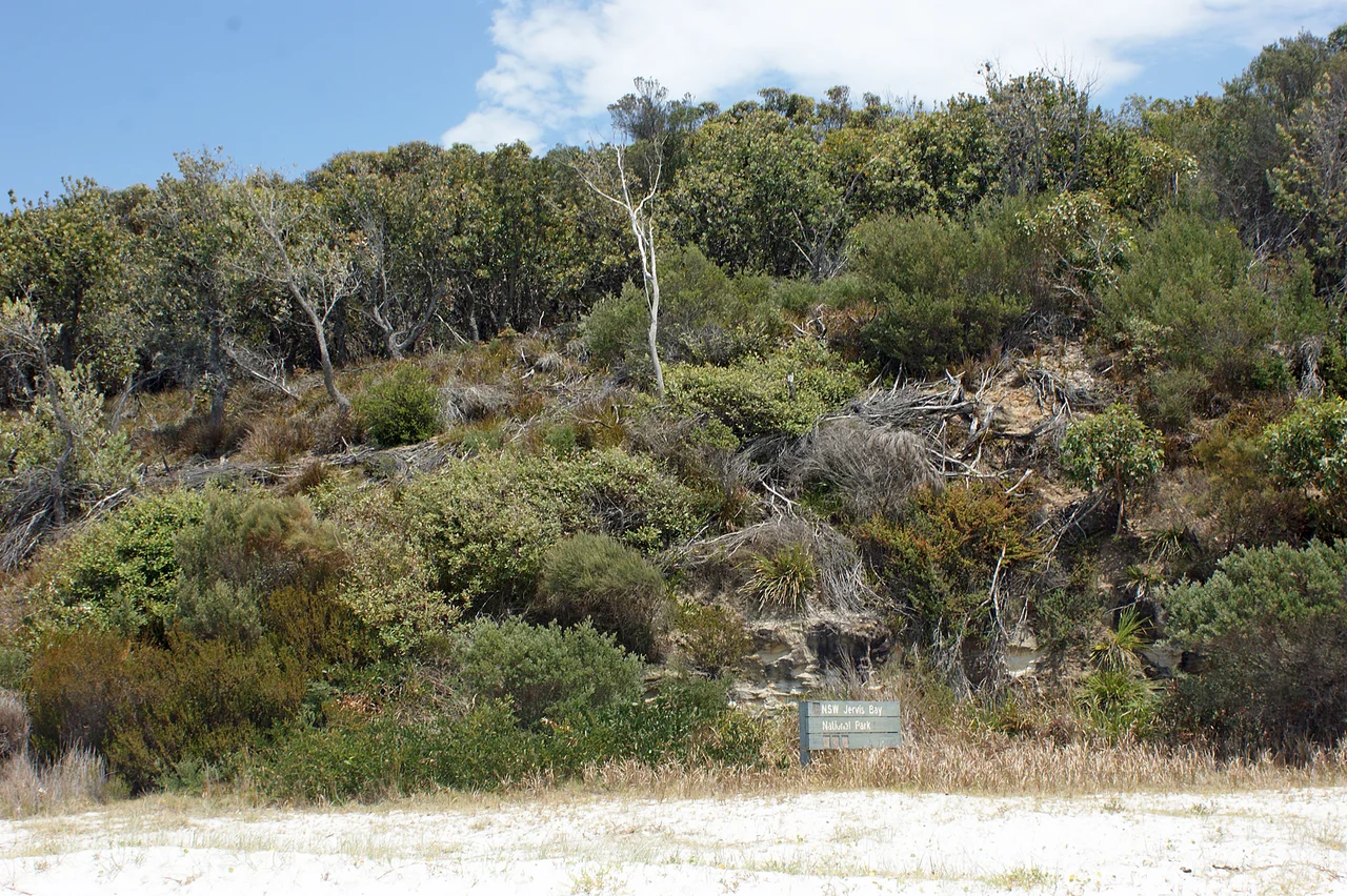

Jervis Bay
The sand at Hyams Beach is so white it makes you squint. Walk down to the water on a bright Jervis Bay morning and the beach throws the sunlight straight back at you, a fine pale quartz so clean it looks closer to snow than to anything you expect underfoot. The town's reputation rests on a famous boast, that this is the whitest sand on Earth, and for years the claim was attributed to the Guinness World Records. The truth is gentler and more human: there is no such Guinness category, and the legend seems to have grown from a hand-painted sign outside the local general store. The sand needs no certificate. Two hours south of Sydney and barely an hour from Canberra, this is one of the most beautiful corners of the New South Wales coast.
Booderee, the Bay of Plenty
In 1995 a section of the national park here was handed back to its traditional owners; two years later, in 1997, they gave it a name from the Dhurga language: Booderee, often translated as bay of plenty, or plenty of fish. The park is now jointly managed by the Wreck Bay Aboriginal Community and the Commonwealth, and the name fits. Dolphins and seals are routine sights in the bay. A colony of little penguins, the world's smallest, nests along its shores. Each year humpback whales detour into the sheltered water to rest during both legs of their long migration, and a mother and calf paused in the calm is among the great sights of the southern coast. Inside the park, kangaroos graze the campgrounds at Green Patch and rainbow lorikeets land on outstretched hands.
The Power Plant That Never Was
Murrays Beach, near the mouth of the bay, is prized today for its isolation and its penguins. It came astonishingly close to a very different fate. In the late 1960s the Commonwealth selected this exact stretch of coast for Australia's first nuclear power station, and preliminary site works actually began before the project was shelved in the early 1970s. Stand on that quiet white crescent now, with the bush running down to clear water and seabirds wheeling overhead, and the near-miss feels almost unbelievable. The same logic of strategic isolation that nearly brought a reactor here is why the Royal Australian Navy has long held a presence in the bay. HMAS Creswell, the navy's officer training college, sits on the western shore, and the water directly in front of it stays closed to the public.
Two Towns and a Tide of Summer
Huskisson is the bay's largest town, and for most of the year it drowses like the small fishing village it once was. Then summer arrives and short-term visitors swell it to roughly three times its winter size. Locals call it Husky. Its working wharf on Owen Street is the launching point for the dive boats and the whale-watching cruises, and its two beaches frame the town: one in front of the pub, the other tucked between the caravan parks. A few kilometres south, Vincentia is the holiday-home capital of the coast, its cottages booked out so reliably that the same families return to the same houses year after year, claiming next summer's stay before this one has ended. If you want a bed here over Christmas, you start thinking about it a year ahead.
Beyond the Beaches
The bay rewards anyone willing to look past the famous sand. North of Huskisson, the Beecroft Peninsula is an active military range that opens to the public when firing stops, and at its tip stand the near-vertical cliffs of Point Perpendicular, dropping sheer into the sea. Currarong, in the bay's north, styles itself the surf capital of the area. Within Booderee, Caves Beach draws surfers, while Summercloud Bay holds a lagoon of startling blue where stingrays glide over the shallows and the rock walls invite slow exploration. Jervis Bay Marine Park stretches across 100 kilometres of coast and water, from Kinghorn Point in the north to Sussex Inlet in the south, a protected sweep that takes in everything from the open ocean swell to the bay's mirror-calm inlets.
From the Air
Jervis Bay opens to the Tasman Sea at roughly 35.06 degrees south, 150.74 degrees east, on the New South Wales south coast about 120 km south of Sydney. From the air the bay is unmistakable: a broad, near-enclosed circle of deep blue ringed by brilliant white beaches, with Bowen Island guarding the southern entrance and the Beecroft Peninsula's cliffs forming the northern arm. Recommended viewing altitude is 2,000 to 4,000 feet to take in the whole bay and the white arc of Hyams Beach on the western shore. The Jervis Bay Territory airfield is military-only; the nearest naval air station is Nowra (HMAS Albatross, ICAO YSNW), about 20 km north-northwest, with active restricted and danger areas over the bay and offshore ranges. Check NOTAMs before flying near the territory. Visibility is usually excellent on settled summer days, when the contrast between white sand and blue water is at its most vivid.
Nearby Stories
- Wollongong 47 km away
- Kamay Botany Bay National Park 87 km away
- Australian War Memorial 91 km away
- Sydney Cricket Ground 131 km away
- Mount Kosciuszko summit trails 163 km away
- Snowy Mountains Scheme 204 km away
- Warangesda Aboriginal Mission 376 km away
- 2003 Fiordland Earthquake 1720 km away