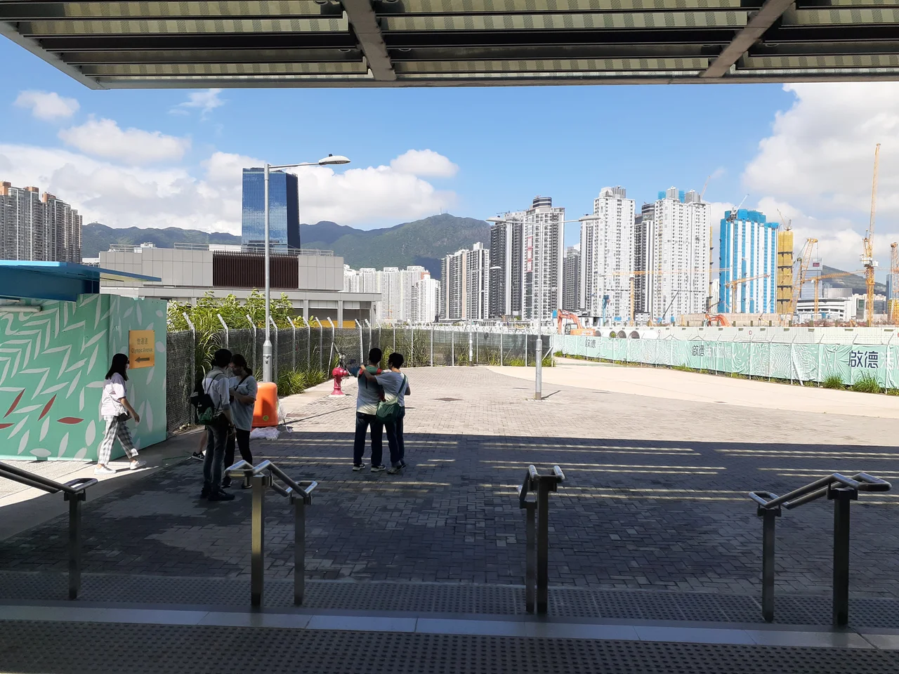

Kai Tak Development
For fifty years, pilots landing at Kai Tak followed a procedure that entered aviation legend. The IGS approach required flying low over the dense rooftops of Kowloon, sometimes close enough to see the laundry on the balconies, before a sharp banking turn over the checkerboard hill and a final descent onto a runway jutting into Victoria Harbour. It was terrifying and magnificent, and it ended on July 6, 1998, when the airport relocated to Chek Lap Kok. What the closure left behind was 328 hectares of land in the heart of Kowloon — the former runway, aprons, terminal buildings, and ancillary facilities — suspended between what it had been and what it might become. Planning for that future had already begun. It would take decades.
The Long Search for a Plan
The first serious study of what to do with the Kai Tak site began in October 1983, when the colonial government commissioned a review of harbour reclamations and urban growth. From 1987 to 1990, the Metroplan Selected Strategy examined land use and transport across West Kowloon, Kai Tak, and surrounding areas. When that study passed the Executive Council in September 1991, it set the direction — but the direction kept changing. A 1992 plan proposed a "City Within a City" covering 580 hectares, with 300 of those on reclaimed land and a projected population of 285,000. By 1995, a revised feasibility study had grown the projected population to 320,000 and added proposals for a multi-purpose sports complex and an aviation museum. Then the courts intervened: a judicial review on reclamation in Wan Chai and Central forced a reassessment. The Kai Tak Planning Review, launched in 2004, adopted a "no reclamation" principle. That became the final plan, and it was considerably more modest than what the 1990s had imagined.
What the Plan Calls For
The approved Kai Tak Development plan covers 328 hectares and envisions a new district with 86,000 residents in 30,000 housing units — 13,000 of them in public housing estates — plus commercial space, parks, a waterfront promenade, and a Cruise Terminal. The total gross floor area exceeds 14.4 million square feet, and over 110 hectares are designated as open space. The total development cost is approximately HK$100 billion. The first stage projects are largely complete: the Trade and Industry Tower opened in 2015, the Kai Tak Cruise Terminal received its first ship, the Kai Tak Runway Park opened on the old runway itself, and housing estates including Kai Ching Estate and Tak Long Estate have been occupied. The Kai Tak Sports Park — the centerpiece of the development and the largest sports infrastructure project in Hong Kong's history — opened on 1 March 2025. The HK$30 billion complex features a 50,000-seat main stadium with a retractable roof, a 10,000-seat arena, and a 5,000-seat public sports ground; within its first months it hosted the Hong Kong Sevens and a Coldplay world tour stop, and by 2026 was booked solid through 2027. A proposed Environmentally Friendly Linkage System, a twelve-station monorail connecting the development to the wider Kowloon East area, has been put on hold indefinitely amid debate over whether a tram system would be more practical.
Running on the Runway
One of the development's most striking elements is also its simplest: the Kai Tak Runway Park, which opened on the former airport runway itself. The runway number — 13 — is still painted on the tarmac, visible to joggers and cyclists who now use the park. At one end, you are standing at what was once the approach threshold, where aircraft descended out of the Kowloon roofscape toward the asphalt. Looking back toward the city from the runway's tip, you can see the hills that pilots navigated around on the checkerboard approach. It is an unusual kind of memory — not a monument or a museum, but a physical scar that has been converted into a leisure facility, retaining enough of its original form that you cannot quite forget what it was. The harbour laps at the edges. Cruise ships now dock in the berths where jets once waited.
The Two MTR Stations and What Comes Next
The Tuen Ma line, completed in stages, brought the MTR to the Kai Tak site with two new stations: Kai Tak station and Sung Wong Toi station. Their arrival knitted a district that had been an island — geographically accessible but transit-poor — into the broader Hong Kong rail network. The metro park, additional residential and commercial development on the north and south aprons, and the third phase of the District Cooling System remain in progress or pending. Hong Kong is a city with extraordinary experience in building new districts from nothing — or from reclaimed water — but the Kai Tak site is different in one respect: it comes with a ghost. The checkerboard hill still stands above Kowloon. Pilots who made that approach are still alive. The runway park does not erase the memory of the airport; it holds it in place, on the ground, under running shoes.
From the Air
The Kai Tak Development site sits at 22.327°N, 114.198°E in Kowloon, east of the urban center on the north shore of Victoria Harbour. From the air at 3,000–5,000 feet, the former runway jutting into the harbour is one of the most distinctive shapes in all of Hong Kong — a long finger of land pointing southeast. The checkerboard hill (Kwun Tong Hill, used as an approach aid for the old IGS approach) is visible to the northeast. Hong Kong International Airport (VHHH) is about 35 km to the west on Lantau Island. The Kai Tak Cruise Terminal and its berths occupy the runway tip.
Nearby Stories
- Chapel of St. Francis Xavier 3.5 km away
- Cuiheng 4.1 km away
- 2015 Shenzhen Landslide 16 km away
- Shunde 31 km away
- Wanshan Archipelago 37 km away
- Nanxiong Formation 96 km away
- Heyuan 149 km away
- Checheng Fu'an Temple 629 km away