Kainantu
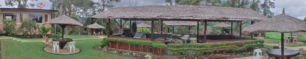
The Kainantu Golf Club was established in 1958 by a Mines Department officer named Neville Robinson, called Robbie by everyone who knew him. It is one of the two oldest golf courses in Papua New Guinea. The fairways were built along ridge crests because ridges were what Kainantu had - narrow and sloping, with gardens and roads crowding the edges. Low scores are rare. The course survived colonial rule, independence, and the arrival of a Chinese-owned gold mine. Its trees did not all survive; some were uprooted, and others were ringed and cut at night for firewood. The club endures anyway, because Kainantu is that kind of town: stubborn, improvised, and stitched together from whatever the highlands offer.
A Town on the Highway
Kainantu sits about 170 kilometers west of the port of Lae, on the Highlands Highway that carries coffee down from the mountains and cargo up into them. The town holds the basic machinery of a district center - school, hospital, police station, courthouse, service stations - along with the Eastern Highlands Cultural Centre and Museum. About eleven kilometers away lies Ukarumpa, the Wycliffe Bible Translators base where the Summer Institute of Linguistics has operated since the mid-1950s. Five hundred or so linguists and their families live there, methodically translating Scripture into each of the hundreds of languages the highlands still speak. Nearby is Aiyura, a valley whose research station has studied agriculture in the thin, fertile mountain soil for generations.
The Gadsup and the Lutherans
The first outsiders to reach the Kainantu area were the Lutheran missionaries Pilhofer and Bergmann in 1929, followed a year later by the Australian prospectors Mick Leahy and Mick Dwyer. The Gadsup people had lived on this plateau for generations, their villages spread across a ridge watershed where rivers split - some running north to the Ramu, others south toward the Papuan coast. The Lutherans established evangelist out-stations at Binumarien and Wampur, patiently building a presence in communities whose languages no European had ever written down. The Gadsup were cautious but not hostile, and the first contacts set the pattern: mission compounds, airstrips, and eventually coffee plantations slowly embedded themselves in a cultural landscape that had functioned entirely on its own terms.
Gold and Coffee
Alluvial gold was discovered near Kainantu around 1930 by two prospectors, E. Ubank and N. Rowlands. The find was never as rich as the Edie Creek strike at Wau-Bulolo, and Kainantu never drew the stampede of prospectors that transformed other parts of the territory. By World War II the best alluvial patches had been worked out, but a small community of Europeans continued making a living from the lodes. Today the operation has a new owner and a new scale. K92 Mining, a Canadian company, restarted the underground mine and has been expanding it steadily - the known resource now sits at around four million ounces, with yearly output pushing past 130,000 ounces and growing. Above ground, coffee is the other pillar. Colbran Coffee Lands, run by the Colbran family since 1962, is one of the largest plantations in the country, buying parchment coffee from local smallholders during harvest and processing it for domestic and export markets. In 2009 the Colbrans opened a primary school serving about twelve nearby villages.
The Kiap Era
Before independence in 1975, the highlands were run by kiaps - patrol officers with sweeping authority who served as judge, jury, road-builder, and often magistrate. Graham Pople was one such kiap, later elected to the first Papua and New Guinea House of Assembly in 1964. He described a Kainantu in the 1960s that was raw and improvisational: a place where a single administrator might preside over disputes between clans whose grievances stretched back generations. The transition to independence was uneven. The Constitutional Planning Committee pushed for local tribunals and formal courts, but the old kiap system persisted in the highlands long after it had faded on the coast. The records of the era include strange small news - in 1965, thirty Papuans sheltered in Kainantu, fearing payback from New Guineans; in 1973, police arrested twenty-three men after a brawl that began when a woman was pinched at a market.
A Plateau Between Rivers
The plateau Kainantu sits on is a geological accident that became a human one. At between 2,300 and 2,450 meters, it forms the watershed between rivers flowing north to the Markham-Ramu trough and those flowing south to the Papuan coast. The bedrock is Palaeozoic, overlain by younger volcanic rocks - the andesitic Aifunka Volcanics of Pliocene age, Pleistocene lake sediments, and recent alluvium. Nompia Creek and the Lamari River have carved deep gorges across the plateau's width, and bedrock landsliding is common after heavy rain. The highlands in general are among the most seismically active places on earth. Kainantu has felt its share of quakes over the decades, including the 1993 Finisterre Range earthquakes whose aftershocks were reported here. The plateau weathers it all and keeps growing coffee.
From the Air
Kainantu sits at 6.29 degrees south, 145.86 degrees east, elevation roughly 1,600 meters, on the Highlands Highway between Lae and Goroka. It has an airstrip from its World War II era. Expect mountain weather, afternoon cloud buildup, and terrain rising sharply to the north toward the Bismarck Range. Goroka (AYGA) is the nearest significant airport, approximately 90 km to the west. Port Moresby (AYPY) is the regional hub.
Nearby Stories
- Markham, Ramu and Finisterre Campaigns 12 km away
- Mount Wilhelm 27 km away
- Ramu Nickel Mine 28 km away
- Landing at Saidor 46 km away
- Landing at Nadzab 54 km away
- Highlands (Papua New Guinea) 88 km away
- Morobe Province 111 km away
- Strathallan Estate 136 km away