
Kastro-Kyllini
The name of this place tells its own story twice over. Kastro — castle — refers to the great Frankish fortress of Chlemoutsi that stands 220 meters above the Ionian Sea on the highest point of the Kyllini peninsula, and the town of Kyllini below it has given the whole area its second name for centuries. Together, Kastro-Kyllini is a corner of the western Peloponnese where a Crusader prince built his stronghold eight hundred years ago, where the medieval port of Glarentza once loaded ships bound for Venice, and where thermal springs still draw visitors to waters that the Romans already valued.
The Castle That Named a Town
Geoffrey I Villehardouin, prince of the Principality of Achaea, built the fortress of Chlemoutsi between 1220 and 1223. He called it Clairmont — clear mountain — and from that French name the Greek tongue shaped Chlemoutsi, the word still in use today. The fortress occupies the highest point of the Kyllini peninsula, roughly 220 meters above sea level, commanding views across the Ionian Sea toward the island of Zakynthos and south toward the olive-covered plains of Elis. Its massive hexagonal outer walls, built with the practical ambitions of a ruling dynasty rather than the decorative flair of a palace, survive in impressive condition. After the Principality of Achaea declined, Chlemoutsi changed hands repeatedly — Byzantine, Ottoman, Venetian — gradually losing its strategic role. Today the fortress stands as a protected monument and occasionally hosts open-air concerts within its ancient walls, the sound carrying across the same sea that Frankish knights once watched for enemy ships.
A Port, a Ghost Town, and the Ionian Shore
Below the castle, on the coast between Cape Kyllini and the modern port town of Kyllini, excavations have uncovered the ruins of Glarentza — a medieval trading city that served as one of the principal ports of Frankish Greece. Ships from Venice, Genoa, and Ragusa called here during the height of the Principality of Achaea's power. The town declined with the principality and eventually disappeared, leaving only its stones for archaeologists. The small port of Kyllini still operates today as a ferry connection to the Ionian Islands, particularly Zakynthos and Kefalonia, and the modest lighthouse on the uninhabited islet of Kafkalida marks the northernmost point of the cape. Along the coast, popular beaches draw summer visitors, the Ionian's characteristic deep blue meeting the pale sand of the peninsula. The hills behind them are covered in forests and olive groves, the plains to the east given over to agriculture — the quiet, working landscape of rural Elis.
Waters the Romans Already Knew
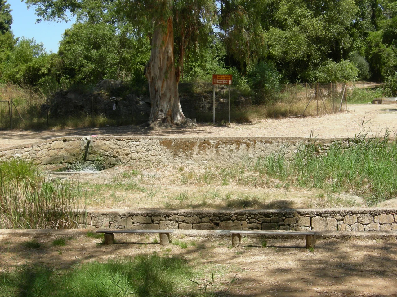
Four kilometers southwest of the castle town of Kastro, near the coast, the thermal springs of Kyllini — known as Loutra Kyllinis — have been in use since antiquity. The Romans recognized the value of this water, and Roman ruins sit adjacent to the modern bath complex. Today Loutra Kyllinis is described as the largest beach resort and thermal spa in the western Peloponnese, offering traditional bathing as well as inhalation therapy said to benefit respiratory and skin conditions. The setting is pleasant: forests surround the facility, the sea is close, and the evidence of two thousand years of visitors gives the place a particular kind of depth. A short distance to the southeast, the Monastery of Blachernae occupies a hillside near the village of Kato Panagia, where a community settled by refugees from Asia Minor following the Greco-Turkish War of 1919-1922 added yet another layer of history to this corner of the Peloponnese.
Villages, Railways, and the Shape of a Peninsula
The Kastro-Kyllini municipal unit — today part of the larger municipality of Andravida-Kyllini following the 2011 Kallikratis administrative reform — covers 49 square kilometers on the northern Kyllini peninsula. Its communities include the port town of Kyllini, the castle village of Kastro, and smaller settlements scattered across the hills and plains. Two narrow-gauge railway lines once connected this region to the broader Peloponnese network: the Kavasila–Vartholomio–Kyllini line and a branch to Loutra Kyllinis, both now abandoned. The roads that replaced them pass through an unhurried landscape of olive groves, small farms, and fishing villages where the pace of life bears little resemblance to the strategic importance this peninsula once held. The peninsula's population stood at 3,272 in the 2021 census — a small community on a stretch of coastline that Frankish princes, Byzantine emperors, Venetian merchants, and Roman bathers have all passed through on their way to somewhere else.
From the Air
Kastro-Kyllini sits at approximately 37.94°N, 21.16°E on the Kyllini peninsula, the westernmost projection of the Peloponnese into the Ionian Sea. The Chlemoutsi fortress is visible from the air as a distinctive hexagonal structure on the highest point of the peninsula, roughly 220 meters above sea level. The peninsula juts clearly into the Ionian, with the island of Zakynthos visible to the west in good visibility. The nearest major airport is LGRX (Araxos), approximately 45 kilometers to the northeast. Approach from the east over the flat agricultural plain of Elis, then follow the peninsula westward to the coast; the cape and the small lighthouse island of Kafkalida mark the tip. Altitude of 3,000-5,000 feet provides good views of both the fortress and the coastline below.
Nearby Stories
- Astras 4.5 km away
- Heraea (Arcadia) 5.3 km away
- Battle of Lepanto 6.7 km away
- Ionian Islands 9.7 km away
- Saint Gerasimos Monastery 14 km away
- Alpheus (deity) 16 km away
- Salmeniko Castle 19 km away
- 2018 Ionian Sea Earthquake 20 km away