Kelud: The Mountain That Swallows Its Own Lake
In 1334, when King Hayam Wuruk of the Majapahit Empire was born, Mount Kelud erupted. The court poet Mpu Prapanca recorded the coincidence in the Nagarakretagama and declared it a divine sign -- proof that the god Batara Gurunata had manifested on earth as the Javanese king. Seven centuries later, the Javanese relationship with Kelud remains essentially unchanged: the volcano destroys, the people rebuild, and the mountain's fury is woven into the fabric of local identity. More than 30 eruptions since 1000 AD have killed tens of thousands of people, yet communities still press tight against its fertile lower slopes in East Java, farming the rich volcanic soil that makes this one of the most productive agricultural regions in Indonesia.
The Lahar Problem
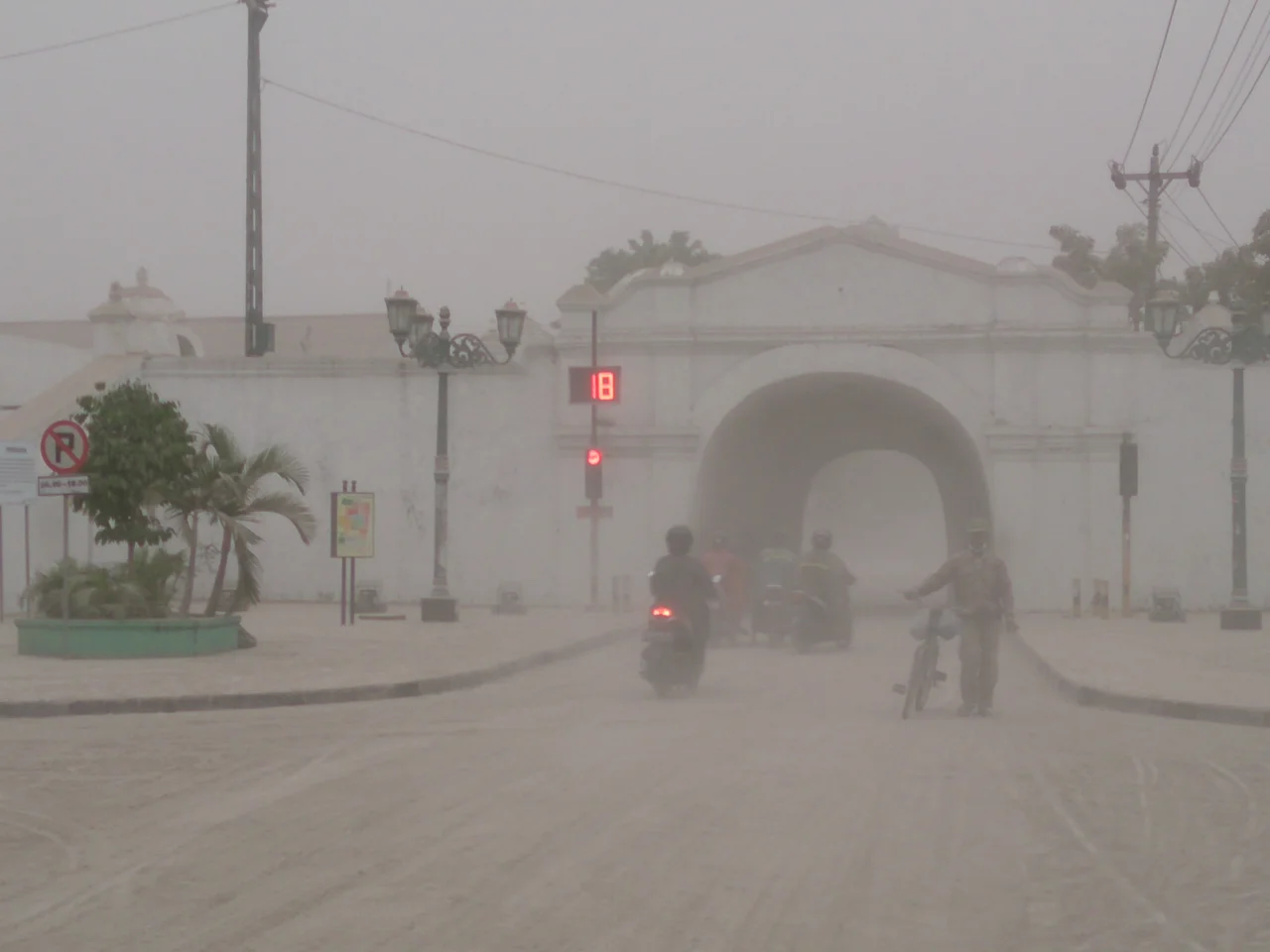
What makes Kelud exceptionally dangerous is not its explosiveness alone but its crater lake. When the volcano erupts, superheated gas and rock blast through the lake water, creating massive lahars -- torrents of boiling mud, ash, and debris that race down river valleys at devastating speed. On May 19, 1919, an eruption triggered lahars that killed an estimated 5,000 people across the surrounding lowlands. The worst recorded eruption, in 1586, killed over 10,000. After the 1966 eruption added to the toll, Indonesian engineers attempted something audacious: they drilled the Ampera Tunnels into the southwestern crater wall to partially drain the lake and reduce the volume of water available to fuel future lahars. Workers continued construction after the 1990 eruption despite pyroclastic flow deposits still hot enough to burn at 90 degrees Celsius, deposits that buried the tunnel entrance under 25 meters of debris. The tunnels were an act of defiance against geology -- an attempt to disarm a volcano by stealing its ammunition.
A Dome Rises Through the Water
In November 2007, Kelud produced something no one expected. After authorities evacuated 30,000 residents and raised the alert to its highest level, the volcano began erupting on November 3 -- but not explosively. Seismic readings confirmed activity even though clouds hid the summit from view. Over the following days, the crater lake's temperature surged from 43.9 to 60.7 degrees Celsius at the surface and from 45.9 to 66.1 at a depth of 15 meters. Boiling water cascaded down the flanks. Seismological equipment near the crater failed. Then, on November 6, closed-circuit cameras captured something remarkable: a lava dome was rising through the center of the crater lake. The oblong island measured 100 meters long and stood 20 meters above the water's surface. By November 12, it had expanded to 250 meters long and 120 meters high, cracked open, and began oozing lava into the surrounding water. Smoke climbed more than two kilometers into the sky. The lake simply ceased to exist, displaced by the growing dome that now occupied the entire crater.
Seven Years of Quiet, Then Fury
The lava dome sat in the empty crater for seven years, a massive plug of cooled rock where a lake had once been. Then on February 13, 2014, Kelud reminded everyone why complacency near an active volcano is a luxury no one can afford. The eruption blasted the dome apart, ejecting boulders, stones, and ash in a column that reached the stratosphere. Fine ash drifted as far as West Java, nearly 500 kilometers away. Seven airports were shut down. More than 76,000 people fled their homes. The eruption deposited ash thick enough to collapse roofs across surrounding districts, and the cleanup stretched into weeks. In the aftermath, rain filled the now-empty crater again, and a new lake began to form -- the cycle resetting, as it always does on Kelud.
Living on Borrowed Fertility
Despite the destruction, the communities around Kelud have never permanently abandoned the volcano's flanks. The reason is underfoot. Volcanic soil in East Java is extraordinarily fertile, enriched by centuries of ash deposits that break down into nutrient-dense earth. Rice paddies, sugarcane fields, and fruit orchards climb the lower slopes, and the agricultural output supports one of the densest rural populations on the island. The relationship is transactional: the volcano gives, the volcano takes, and the people calculate the odds each season. After the 2014 eruption, the Jakarta Post reported buildings rising from the ashes within weeks. Farmers returned to their fields as soon as the ash cooled. Kelud sits at the boundary between Kediri and Blitar in a landscape so green it seems to deny that anything violent has ever happened here -- until you notice the lahar channels carved into the valleys, or the concrete monitoring stations perched on ridges above the treeline, their instruments trained on the mountain that has defined this region for a thousand years.
From the Air
Located at 7.93S, 112.31E in East Java, Indonesia. The stratovolcano rises prominently from the surrounding agricultural lowlands between Kediri and Blitar. The crater lake (or empty crater, depending on the volcanic cycle) is visible from altitude. Nearest major airports are Abdul Rachman Saleh (ICAO: WARA) near Malang, approximately 50 km to the east, and Juanda International Airport (ICAO: WARR) near Surabaya, approximately 100 km to the northeast. Best viewed at 8,000-12,000 feet AGL. Be aware of volcanic activity status before overflying -- Kelud carries a significant eruption history and ash clouds can reach cruising altitude.
Nearby Stories
- Ranu Kumbolo: The Lake That Rewards the Climb 9.2 km away
- Where an Empire's Memory Lives in Clay and Stone 20 km away
- The Train Builders of Madiun 33 km away
- The School That Gave Itself Away 34 km away
- Shaken Foundations: The 2021 East Java Earthquake 40 km away
- Madura: Salt, Bulls, and the Island That Emptied Itself 91 km away
- Meru Betiri: The Last Forest on Java's Southern Edge 108 km away
- The Ghost Boat That Built an Empire 322 km away