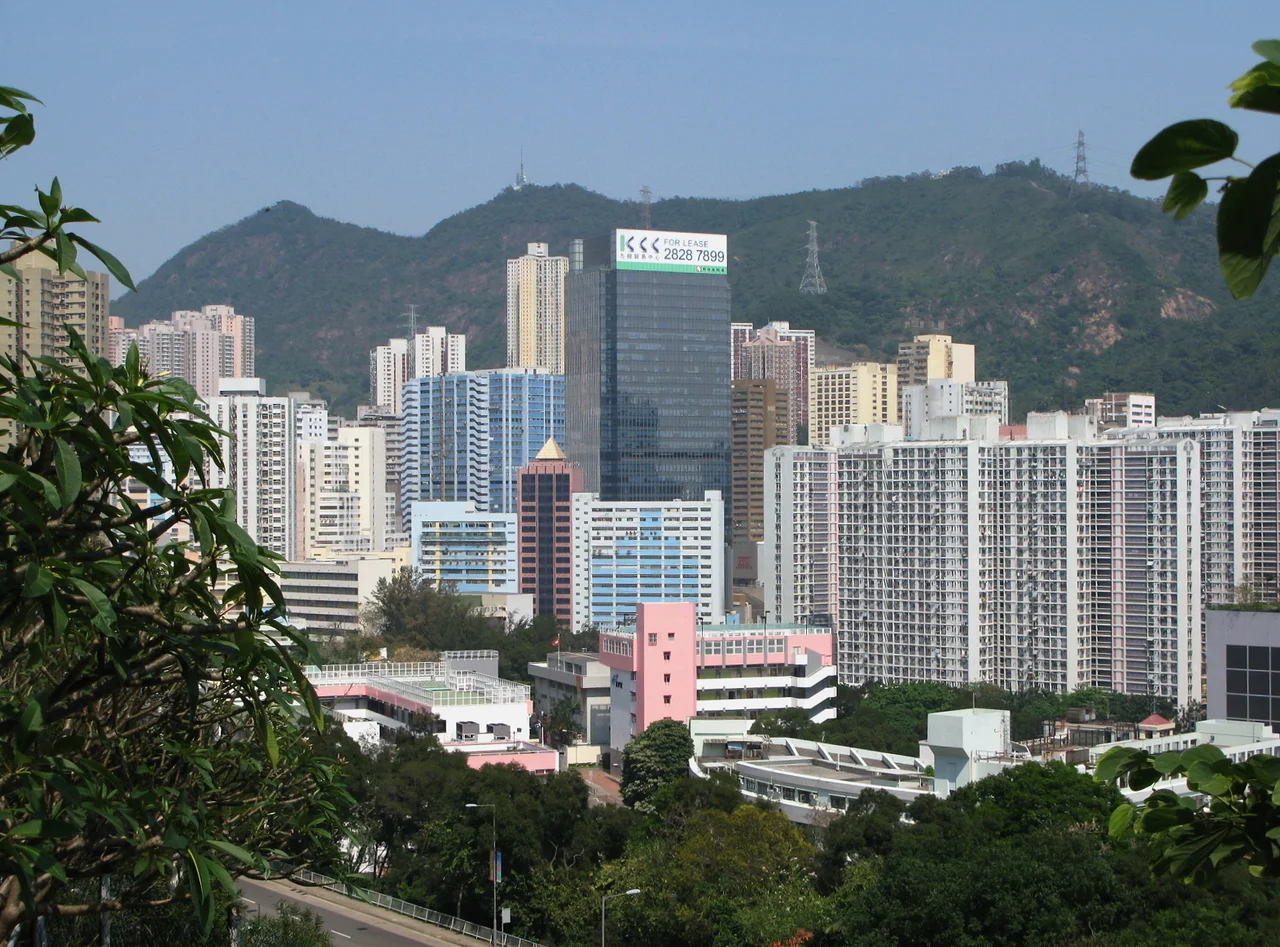

Kwai Chung
Kwai Chung used to be a stream. The name says so: Kwai Chung means a stream — Chung — that drained into Gin Drinkers Bay. The bay is gone now, reclaimed for land. The stream is invisible, buried under decades of development. What replaced both the bay and the stream is an urban area of 9.93 square kilometres with a population of 287,000 and one of the busiest container ports on earth. The speed of that transformation, from rural drainage channel to global freight hub, is one of those Hong Kong stories that is almost too compressed to process.
Upper and Lower, North and South
Kwai Chung is divided along traditional and administrative lines. Sheung Kwai Chung — Upper Kwai Chung, formally North Kwai Chung — sits above Ha Kwai Chung, the lower or southern section. These distinctions carry practical weight: the two halves fall under different Primary One Admission school networks, and they were historically separate villages before the twentieth century transformed the whole area. Sheung Kwai Chung, Chung Kwai Chung Village, and Ha Kwai Chung Village retain recognized status under the New Territories Small House Policy, a residue of rural governance that persists inside what has become a dense urban environment. Neighborhoods within the broader area include Kwai Fong, Kwai Hing, Lai King, and Tai Wo Hau — each with its own MTR station, each embedded in the tower-block geography of Hong Kong public housing.
Where the Containers Come From
The defining feature of Kwai Chung is its container port. The Kwai Chung Container Terminal — now part of the broader Kwai Tsing Container Terminals facility — is the principal commercial cargo handling area for Hong Kong, and it sits on reclaimed land that was once the seabed of Gin Drinkers Bay. The first container berth opened here in 1972, with the port developing through the 1970s and 1980s as container traffic shifted away from the traditional lighter operations at Yau Ma Tei — a transformation connected to the broader reclamation projects that pushed Hong Kong's original waterfront almost half a mile inland. Today the old Yau Ma Tei shore is buried somewhere under elevated expressways and apartment blocks. Kerry Logistics, one of Asia's major logistics companies, maintains its head office in Kwai Chung — a fitting address for a company whose business is moving things around the world.
Education in an Industrial District
Kwai Chung is not only an industrial and logistics district; it is a residential one, and its schools reflect the diversity of its population. The Lutheran School for the Deaf has operated in Kwai Chung, providing educational services in a district not typically associated with specialized institutions. The aided schools in the area — privately operated but government-funded, in the typical Hong Kong model — serve families living in the public housing estates that define much of Kwai Chung's residential character. Hong Kong Public Libraries maintains two branch libraries in the district: the North Kwai Chung Public Library in the North Kwai Chung Market and Library complex, and the South Kwai Chung Public Library in the Kwai Hing Government Offices building.
A District That Disappeared into Its Own Success
There is something quietly remarkable about Kwai Chung's transformation. The original place — the stream, the bay, the villages — has been so thoroughly overwritten by what came after that almost nothing of it remains visible. The stream is gone. The bay is land. Even the villages persist only as legal categories for small house applications, not as identifiable physical places within the urban fabric. What Kwai Chung became instead is a district that functions as the engine room of Hong Kong's trade economy, its port cranes visible from the highway and its container stacks stretching along the Rambler Channel. The name — a stream — is now attached to something almost perfectly opposite: a landscape of reclaimed land, tower blocks, and freight terminals serving a global economy.
From the Air
Kwai Chung is centered at approximately 22.367°N, 114.125°E in the New Territories, northwest of Kowloon. From the air, the area is immediately identifiable by the container terminals along Rambler Channel — the stacked containers, cranes, and vessel traffic make the port unmistakable from altitude. Tsing Yi Island lies to the southwest; the Tsing Ma Bridge connecting Lantau Island is visible further west. Hong Kong International Airport (VHHH) is approximately 15 km to the west on Lantau. The best aerial view of the port and surrounding district is from 3,000–5,000 feet heading east over the channel, with Kowloon's urban density spreading to the east and the green hills of the New Territories to the north.
Nearby Stories
- Chapel of St. Francis Xavier 3.5 km away
- Cuiheng 4.1 km away
- 2015 Shenzhen Landslide 16 km away
- Shunde 31 km away
- Wanshan Archipelago 37 km away
- Nanxiong Formation 96 km away
- Heyuan 149 km away
- Checheng Fu'an Temple 629 km away