.jpg)
Ladainha, Minas Gerais
The town is named for a prayer. In Portuguese, ladainha means litany, the long repeated devotion spoken on rosary beads, and the settlement on the Mucuri River took its name from an old man called Podô who was known along the line for never stopping. Travelers on the Bahia-Minas railroad learned to recognize his stop as 'Ladainha do Podô' - Podô's Litany - the place where the quiet man with the beads always was. Eventually the railroad station simply kept the name. The old man is gone, but the town that kept his prayer has carried it for nearly a century, living still as a working farming town of about 18,000 people in the northeastern hills of Minas Gerais.
Sixty-One Houses for a Railroad
The settlement began not as a town but as a company project. In 1926, sixty-one houses were built along the Bahia-Minas railway to accommodate the workers keeping the line running through the rough country between the two states. The railroad was one of the great ambitions of early 20th-century Brazil, cutting through the Mucuri valley to link the northern reaches of Minas Gerais to the Atlantic coast. The workers who laid and maintained those rails lived in this cluster of small houses, and around them a town gradually formed. By 1949, Ladainha had grown enough to be emancipated as its own municipality, carved out of the administrative territory around Teófilo Otoni. The Bahia-Minas railway was later dismantled, but the town the railroad made remains.
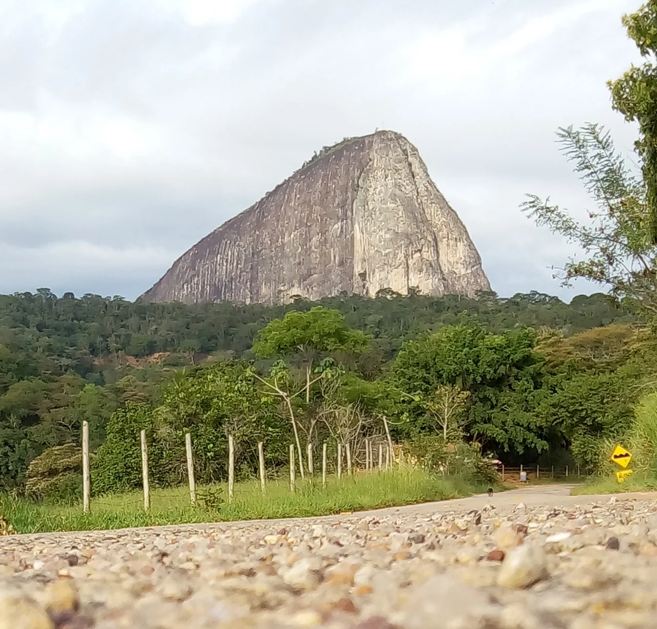
A Town on the Mucuri
Ladainha sits at 670 meters of elevation on the Rio Mucuri, about 65 kilometers northwest of Teófilo Otoni, the regional hub that still handles Ladainha's more serious hospital cases and its university students. Belo Horizonte, the state capital, lies 515 kilometers to the southwest - a distance measured in hours of driving over winding Minas hills. The neighbors are other small towns: Novo Cruzeiro, Malacacheta, Poté, Itaipé. This is the old Vale do Mucuri, a region where the land dips and rises, and rural settlements sit along the rivers that thread through it. The Atlantic Forest once covered everything here, but most of it has long since been cleared for pasture and farmland.
A Ledger of Small Numbers
The town's economic profile is the kind of portrait built from small numbers that add up to a life. In 2005, the municipality produced 24 million reais from services, 3 million from industry, and 5 million from agriculture. Some 2,330 rural producers worked 35,000 hectares of land. Fifteen farms owned tractors. About 6,300 people depended on agriculture. The crops are bananas, coffee, sugarcane, beans, and corn. Cattle herds totaled 14,000 head. In 2007, a single bank served the municipality. There were 312 automobiles and 598 motorcycles, the motorcycles nearly twice as common as cars - a ratio that tells you more about rural Brazilian roads than any written description could. Fifty-three inhabitants, on average, shared each car.
What the Rankings Don't Say
In the state rankings of 2000, Ladainha placed 820th out of 853 Minas Gerais municipalities by Human Development Index - a score of 0.609, well below the state average. The literacy rate was 60 percent. Life expectancy stood at 66. The per-capita monthly income ran well below the national figure of 297 reais. These numbers sit at the harder end of Brazil's enormous spread of prosperity, in a country where São Caetano do Sul in São Paulo state scored 0.919 while Setubinha, just a district away, scored the state's lowest. But rankings are thin things. They cannot show the quiet work of subsistence farmers stewarding their few hectares, the PUC Minas campus that opened with fewer than 100 students, the five health clinics keeping the community cared for, the 24 primary schools teaching children whose parents remember the rail line Podô walked.
A Prayer Still on the Map
Most of Ladainha's 18,000 people live rurally - the census counts 75 percent of the municipality as non-urban. The landscape is undulating, the climate is warm, the altitude moderates what would otherwise be punishing heat. On a clear day you can see far across the Mucuri valley, one set of green hills folding into another, pastures interrupted by scattered stands of trees, dirt roads winding through to other small places with their own quiet stories. The town center has its bank and its bus stop and its school, and the old railroad bed, now mostly overgrown, still runs through the landscape where Podô once sat with his beads. His prayer is a place on the map now, and a place where people live.
From the Air
Located at 17.63°S, 41.74°W in northeastern Minas Gerais, Brazil, at 670 m elevation on the Rio Mucuri. Best viewed from 3,500-5,500 ft AGL; the undulating Vale do Mucuri landscape of pasture and scattered forest is visible in all directions. Approximately 65 km northwest of Teófilo Otoni and 515 km northeast of Belo Horizonte. The nearest commercial airport is Juscelino Kubitschek Regional Airport (SNTO) in Teófilo Otoni. Clear weather is common in the dry season (May-September); afternoon thunderstorms are frequent October-March.
Nearby Stories
- Itaipé 0.9 km away
- Minas Novas 47 km away
- Nanuque 85 km away
- Virgem da Lapa 97 km away
- Governador Valadares, Minas Gerais 107 km away
- Mata Escura Biological Reserve 123 km away
- Rio Preto State Park 125 km away
- Itaúnas 160 km away