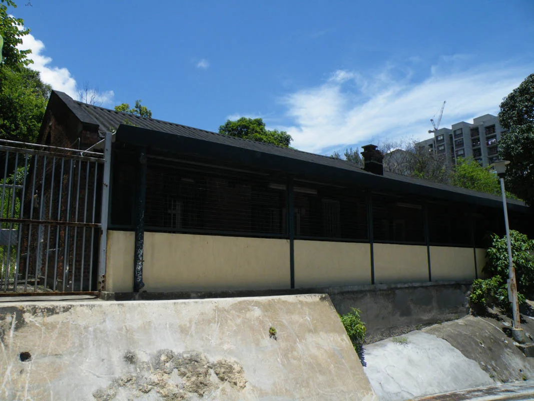

Lai Chi Kok
The lychee trees are gone. The bay that gave this place its name — Lai Chi Kok Bay — was reclaimed long ago, its waters replaced by roads and tower blocks. What remains is a name that gestures toward a landscape that no longer exists: "lychee corner," the shore where a fruit tree native to southern China once marked the edge of land and water. Some historians dispute even this etymology, arguing the original name was Lai Tsai Kuok — the footprint of the youngest son — which would make the lychee connection an accident of sound rather than a record of nature. Either way, the place has moved far beyond its origins.
The Shore That Became a City
The Xin An County Gazette of 1819 contains no mention of Lai Chi Kok, which tells historians that the area was, at that point, unremarkable enough to leave unrecorded. A river once separated Cheung Sha Wan from Lai Chi Kok Bay; another river, descending from Butterfly Valley, traced the same boundary on the opposite side. At the innermost reach of the bay lay a settlement called Kau Wa Keng, around present-day Lai King Hill Road. When the Qing dynasty ceded Hong Kong Island and the Kowloon Peninsula to Britain, they set up a customs station at Lai Chi Kok to collect duties at what had become a border. After the New Territories lease began in 1898, the British repurposed the area for military use and built a torpedo storage facility near Kwai Chung. By the 1911 census, 173 people lived here. Within a century, that number would rise to tens of thousands.
99 Blocks
Mei Foo Sun Chuen defines the modern Lai Chi Kok skyline. The housing estate — 99 residential blocks, each climbing well above the surrounding streets — was at its completion the largest private housing development in the world. Built in eight phases from 1968 to 1978 on what had been a Mobil oil-storage facility, it transformed the western edge of Kowloon into a self-contained community with its own shops, schools, and transport connections. Administratively, Lai Chi Kok belongs to Sham Shui Po District, and the Mei Foo MTR station on the Tsuen Wan and Tuen Ma lines anchors the area to the rest of the city. There is a quiet irony in the station name: the MTR stop called Lai Chi Kok is not in Lai Chi Kok at all — it sits in neighboring Cheung Sha Wan, a reminder of how thoroughly the area's geography has been redrawn.
The Industrial Layer
Before the housing estates came the heavy infrastructure. Lai Chi Kok Hospital occupies the site of the original facilities from an earlier era. Next door, the Lai Chi Kok Reception Centre operates as a remand facility managed by the Hong Kong Correctional Services. One institution that has since departed is the Kowloon Motor Bus headquarters, which operated from the neighborhood before relocating; its former site became the Manhattan Hill private housing development. An incinerator once stood here too — one of three in Hong Kong — until it was demolished after concerns about air pollution. Each removal and replacement has left the neighborhood physically different while remaining recognizably itself: dense, functional, working-class in character, and quietly central to the logistics of how Kowloon operates.
Where the Road Leads
Lai Chi Kok Road stretches far beyond the boundaries of Lai Chi Kok itself, connecting it to the wider Kowloon grid. This is typical of the neighborhood's relationship with its own name: present everywhere on maps and signage, but increasingly hard to pin to a specific place. The streets are filled with schools — Fuk Wing Street Government Primary School and Li Cheng Uk Government Primary School among them — and the Lai Chi Kok Public Library maintains a branch here, part of Hong Kong's remarkably dense public library network. In the gaps between tower blocks, the lychee corner that was has become something else: a neighborhood with a history as layered as the land beneath it, built up from bay and battlefield and bus depot into the place that now is.
From the Air
Lai Chi Kok sits at approximately 22.337°N, 114.142°E on the western Kowloon Peninsula, bordering Kwai Chung to the west and Cheung Sha Wan to the east. From the air at 3,000–5,000 feet, the characteristic grid of Mei Foo Sun Chuen's 99 tower blocks is visible as one of the densest residential clusters in the New Territories approach to Kowloon. Victoria Harbour lies approximately 3 kilometres to the south. Hong Kong International Airport (VHHH) is approximately 16 nautical miles to the southwest on Lantau Island. Approach corridors for VHHH pass south of this area over the harbour.
Nearby Stories
- Chapel of St. Francis Xavier 3.5 km away
- Cuiheng 4.1 km away
- 2015 Shenzhen Landslide 16 km away
- Shunde 31 km away
- Wanshan Archipelago 37 km away
- Nanxiong Formation 96 km away
- Heyuan 149 km away
- Checheng Fu'an Temple 629 km away