Lake Uniamési
In 1855 a map appeared in Europe showing a vast inland sea at the heart of Africa, big enough to swallow the Black Sea twice over, supposedly feeding the Nile, the Congo, the Zambezi, and the Benue in four directions. German missionaries on the Indian Ocean coast had never seen it. They had only heard about it from caravan traders who had walked there and back. Europeans called it the 'slug map' for the S-shape of the huge lake the missionaries drew, and it became one of the most influential geographical errors in African exploration. The lake didn't exist. But the map that showed it set in motion the expeditions that eventually revealed the three great lakes that actually do lie behind its fiction.
The Land They Never Saw
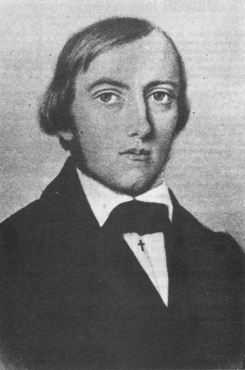
In 1844 the Sultan of Zanzibar, Sayyid Said, gave the German missionary Johann Ludwig Krapf permission to establish a mission on the East African coast. Krapf arrived in Mombasa that March, was joined in 1846 by Johannes Rebmann, and in 1849 by Jakob Erhardt. The three men were confined to the coastal belt. But they talked to traders. They heard about a region called Unyamwezi - the 'land of the moon,' home of the long-distance trading Nyamwezi people - lying far inland in what is now western Tanzania. Their informants told them of rivers running in every direction and of an enormous body of water somewhere in the middle. The missionaries exaggerated what they heard, partly by pulling together separate accounts of different lakes into one composite. A trader heading to Lake Nyasa, another to Lake Tanganyika, a third to Lake Victoria - all of them ended up at 'an inland sea,' so the inland sea must be one thing.
A Map Drawn In November
In November 1854 Erhardt and Rebmann put together the geography that had puzzled them for years. 'At one and the same moment,' Rebmann wrote, 'the problem flashed on both of us solved by the simple supposition that where geographical hypothesis had hitherto supposed an enormous mountain-land, we must now look for an enormous valley and an inland sea.' On their map the three real lakes were merged into a single S-shaped lake that Rebmann called Uniamesi or Ukerewe. By his estimate the lake stretched from 0.5 degrees north to 13.5 degrees south, 23.5 east to 36 east, and covered 13,600 German square miles - larger than the Black Sea and the Caspian combined. The cartographer August Heinrich Petermann published the map in 1855 but sensibly warned that the missionaries might not have accounted for trader exaggeration. He sketched an alternative a third the size.
The Slug Map Goes To London
Sir Francis Galton, who had won the Royal Geographical Society's gold medal in 1853, arranged for Erhardt's map to be printed in the society's Proceedings. From Paris the engineer Ferdinand de Lesseps - who would later build the Suez Canal - wrote to the Académie des Sciences in April 1857 that he had seen a pen-and-ink version and that a pilgrim from Mecca had assured him of the sea's existence, with vessels larger than anything in the Red Sea. The Royal Geographical Society pressed the British government for £1,000 to send an expedition. Galton declined to lead it, citing his health. Instead the job fell to Richard Francis Burton and John Hanning Speke. They reached Zanzibar in December 1857, visited Rebmann at his mission, and set out for the interior on 26 June 1858.
Three Lakes, Not One
Burton and Speke reached Lake Tanganyika at Ujiji in March 1858. The actual year was 1858, not the typo sometimes repeated in older accounts. They learned the lake extended hundreds of miles south but was not, as the slug map had claimed, connected to Lake Nyasa. At Kazeh - now Tabora - Burton stayed behind while Speke pushed north and reached Lake Victoria in August 1858, which he suspected fed the Nile. Further expeditions by Speke and Grant, by Livingstone, and by Henry Morton Stanley confirmed it over the following two decades. Verney Lovett Cameron circumnavigated Tanganyika in 1874 and found its outlet flowed west into the Congo. Stanley's circumnavigation of Victoria in 1874-1875 confirmed the Nile source. By 1877, when Stanley returned to Zanzibar, the last major drainage question was settled. Krapf had imagined one great lake feeding four river systems. There turned out to be three great lakes feeding three of them. The Benue rose elsewhere entirely. The missionaries' mistake had been born of distance and hearsay, but it pointed European explorers toward genuine discoveries - and toward all the unintended consequences of their arrival in the Great Lakes region.
From the Air
The imagined 'Lake Uniamesi' was centered roughly over what is now Tanzania and the eastern DRC, around 6°S, 27°E. The real geography behind the fiction: Lake Tanganyika runs along 29.5°E, Lake Victoria lies near 1°S 33°E, and Lake Malawi sits along 12°S 34°E. Tabora, once the Arab trading post of Kazeh on the caravan route from the coast, is near Tabora Airport (ICAO: HTTB). From cruise altitude the three actual lakes of the region form a distinctive triangle - two long rift lakes east and west, and the wide shallow Victoria between them.
Nearby Stories
- Niemba Ambush 6.6 km away
- Lukuga River 16 km away
- Luvua River 49 km away
- Lulenge 61 km away
- Tanganyika Province 82 km away
- Luba Empire 163 km away
- Kipupu Massacre 279 km away
- Kisangani 714 km away