Lulenge
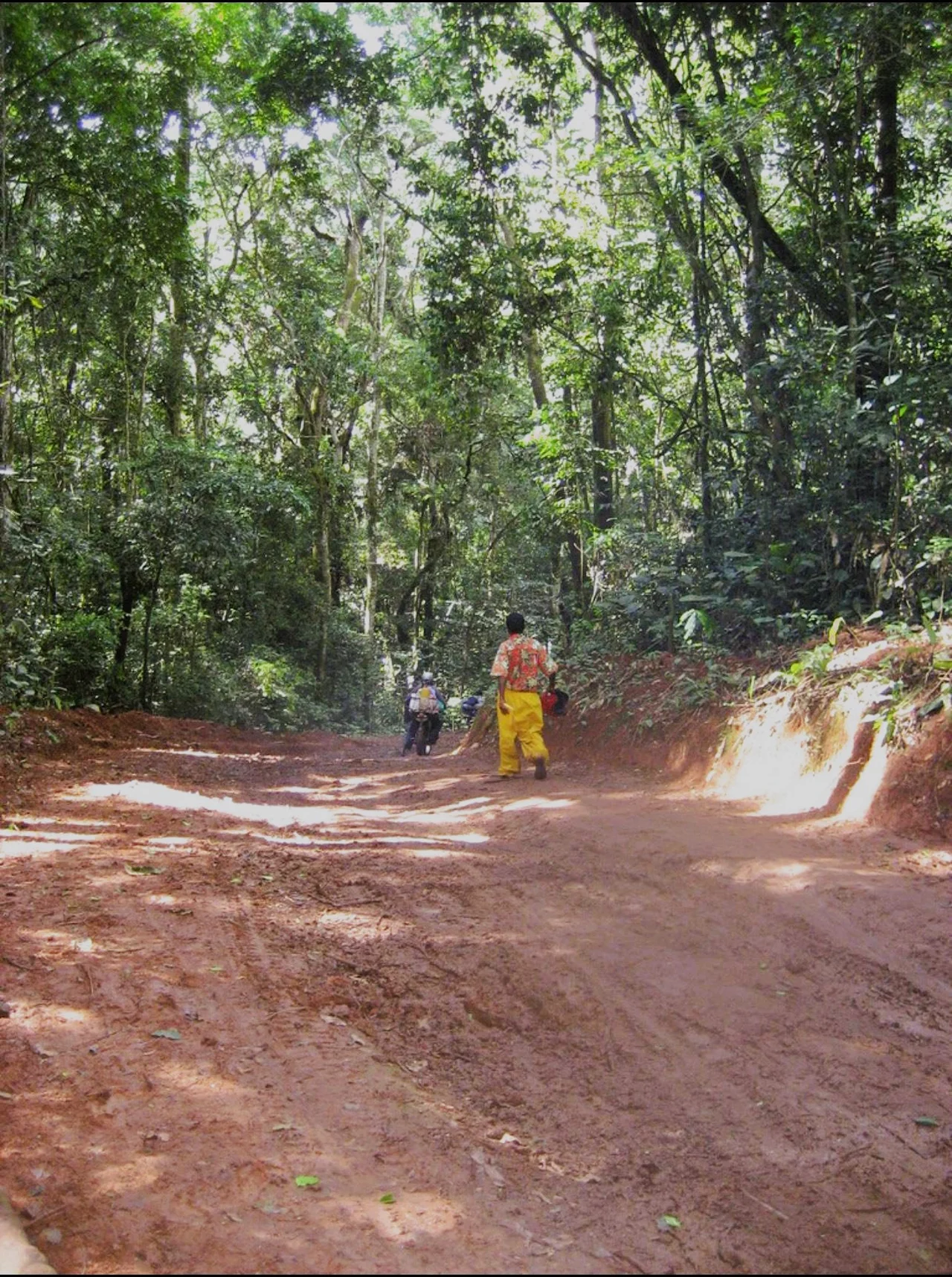
Altitudes in the northeast of Lulenge reach 2,000 meters. From those heights you can see the Mitumba range running south toward Lake Tanganyika and east toward Burundi. From those heights, you can also see a great deal of pain. Since the First Congo War ended in 1997, this one sector of Fizi Territory in South Kivu has been fought over by militias, governments, neighboring states, and by the communities that live here themselves. Lulenge holds roughly 187,806 people in 5,530 square kilometers. It is one of the places where the term 'protracted crisis' stops being useful, because it describes a generation.
Mountains and Sectors
Lulenge is one of four sectors that make up Fizi Territory, in the South Kivu Province of the eastern Democratic Republic of the Congo. It is the second-largest sector in the territory, after Ngandja, at about 5,530 square kilometers. Its administrative center is Kilembwe. The terrain is mountainous, dominated by the Mitumba range, with high-altitude areas in the northeast running between 1,500 and 2,000 meters. The local governance structure consists of two bodies: the Sector Council, which deliberates, and the Sector Executive College, which executes. It is a sector formed of five groupements, each a cluster of localities. The 2014 census recorded a population density of about 36 people per square kilometer - low by global standards but meaningful in terrain where every valley is its own small country.
Communities and Cultural Complexity
Lulenge was a historic chieftaincy, and it has always held more than one community. The Babuyu arrived first; the Bembe came later, moving from the mountains to occupy remaining land because the Babuyu population was sparse. To the north and east of the sector, patrilineal agro-pastoralist communities worked cattle and crops. To the west lived the related patrilineal Lega communities, who combined agriculture with hunting and food-gathering. To the south were matrilineal hunters and agriculturalists descended from the northern Luba cluster - reminding anyone looking that the Luba political world once reached this far east. That is a lot of variation in one sector. Then came another wave of change. Belgian colonial policy moved large numbers of Banyarwanda cattle-herders from Rwanda into what administrators described as 'vacant' grassy regions - lands that were not actually vacant, just less densely settled. The Bembe largely refrained from intermarriage and took an adversarial posture toward the newcomers. That early tension would echo for a century.
Waves of Refuge, Waves of Trouble
Between 1937 and 1959, Fizi Territory witnessed the arrival of Rwandan refugees escaping unrest in their homeland. On 21 September 1953, acting administrator Van Caester of Fizi and Jean Schwall, assistant administrator of Mwenga Territory, met at the Kakwela and Nakabunga mountains to address a question that would shape the region for decades: the transhumance of Rwandan refugee cattle. That meeting codified a 'climate of mistrust' - to use the phrasing that has followed the region ever since - between the Babembe and the Babuyu, with the Babuyu accused of being closely linked to the Rwandan newcomers. The region also weathered Arab-Swahili slave-raiding incursions in the 19th century, Belgian colonial domination, and the Mulelist rebellion of the 1960s. Each successive wave left its sediment. And Lulenge absorbed all of it - held together by custom, kinship, and the stubborn fact that people lived there and had nowhere else to go.
The Modern Conflicts
The First Congo War brought the sector into the orbit of the broader regional conflict that has never really ended. In November 2021, the emergence of the Ngumino and Twirwaneho militias sharpened the ethnic tensions between Babembe and Banyamulenge populations. Verbal and physical attacks spread, targeting Babembe, Bafuliiru, and Banyamulenge. In September 2020, about ten people were killed in three days of fighting on the high plateau shared by the Fizi, Mwenga, and Uvira territories. A coalition that included Android, Al-Shabaab, Twirwaneho, and Ngumino elements, led by Rukundo Makanika, clashed with the Mai-Mai Mutetezi; 18 militiamen from the Makanika coalition were killed and 41 wounded. At least 800 head of cattle were driven toward Lulenge and the Itombwe forest. The Mai-Mai of the Bembe, Fuliiru, and Nyindu communities engaged the Banyamulenge until the latter were expelled from the affected villages. These are not dry numbers. They are the everyday reality of a population trying to farm, raise children, and hold weddings in a territory where armed groups define the weather.
The M23 Shadow
In August 2023, the Rwandan-backed M23 insurgency was reported to be liaising with the Twirwaneho in the highlands of Minembwe - a town located within Lulenge sector itself. A report by UN Secretary-General Antonio Guterres warned that these interactions could open a second front in South Kivu if hostilities resumed in North Kivu, potentially activating armed groups that had been quiet. On 3 September 2023, Twirwaneho forces assassinated a UGEAFI (Union des Groupes d'Etudes et d'Actions pour le Developpement de Fizi-Itombwe) soldier; his body was discovered 48 hours later in the Lwiko River. The same Twirwaneho elements, under the leadership of army deserter Colonel Charles Sematama, carried out another assassination at a joint guard post with the Congolese National Police in Kakenge. In December 2023, clashes around Minembwe killed seven militiamen, wounded four, and displaced a significant population. The 187,806 people of Lulenge continue to live on their mountains. They keep cattle, plant crops, send children to school where they can, and hold out against the kind of chronic insecurity that no government has yet been able to end. What Lulenge is not: a failed place. It is one of the hardest places in the world to govern, and the fact that it keeps going at all is a testament to the communities that carry it.
From the Air
Coordinates: 6.73°S, 26.00°E, in South Kivu Province, eastern DRC. Terrain is rugged and mountainous with the Mitumba range dominating - altitudes to 2,000 meters in the northeast. From cruise the Itombwe forest massif stands out to the east. Nearest airports include Bukavu/Kavumu (FZMA) and Uvira (FZRB). Be aware this is an active conflict zone - check NOTAMs and security advisories before any low-altitude operations.
Nearby Stories
- Luba Empire 41 km away
- Luvua River 65 km away
- Lake Uniamési 90 km away
- Lomami Province 100 km away
- Lukuga River 152 km away
- 2003 Ukrainian Cargo Airways Ilyushin Il-76 accident 201 km away
- Piana-Mwanga Hydroelectric Power Station 202 km away
- Kisenge 468 km away