Luvua River
Pull back far enough on a map and the Congo River basin looks like a huge, shallow saucer. Most of the water inside the saucer flows quietly toward the central drainage. The Luvua does something different: it punches through the southeast rim, bringing water from the entirely separate Mweru-Bangweulu watershed into the Congo system. For a long time, the fish of the Luvua basin swam in a different river. Geologists can still find Zambezi-type species here, remnants of a prehistoric connection severed sometime in the early Tertiary. The Luvua is a river that changed its address.
Course from a Floodplain Lake
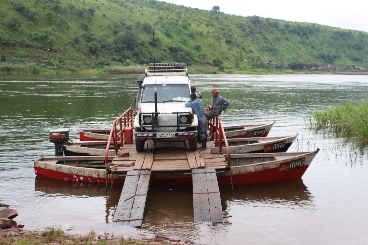
The Luvua begins at Pweto, on the northern end of Lake Mweru, at an elevation of about 1,000 meters. Lake Mweru itself is a floodplain lake, its shape slowly sculpted by wind carrying off alluvium. The river runs 350 kilometers northwest to Ankoro in Katanga Province, where it joins the Lualaba River opposite the town. Further downstream, past the Boyoma Falls, the Lualaba becomes the Congo. The middle course of the Luvua is broken by rapids, torrents, and cataracts as it drops from the plateau into the Congo Basin proper. At Piana Mwanga, the falls drive hydroelectric turbines that power the Manono and Kitotolo mines. Below Kiambi, shallow-draft boats can navigate about 160 kilometers of the lower course. Peak discharge arrives between March and May; September through November runs much lower. The Luvua drains an area of over 218,000 square kilometers - a basin larger than many European countries.
A Former Zambezi River
The geological history of the Luvua is more interesting than most rivers get. Much of what it now drains was once part of the Zambezi watershed to the south. Several species of fish common in the Zambezi system are still found in the Luvua basin - faunal fossils, in a sense, that mark the old connection. Congo fauna have since migrated upstream into Lake Mweru, but the Mambatuta Falls have stopped them from reaching Lake Bangweulu. The transition from Zambezi to Congo drainage happened sometime in the early Tertiary, tens of millions of years ago. Rivers are ancient but not permanent; they reorganize. The Luvua sits at the joint where two great African drainage systems traded territory.
Where Does the Congo Begin?
Geographers argue about this. Some consider the Luvua to be a section of the Congo itself, placing the origin of the river system in the highlands between Tanzania and Zambia, where the Chambeshi River starts. The Chambeshi flows southwest to Lake Bangweulu; the Luapula emerges from the lake and runs north for over 500 kilometers to Lake Mweru; the Luvua exits Mweru and runs northwest to the Lualaba. Total distance: one of the longest in Africa. Others argue the Congo begins where the Lualaba and Luvua meet, since the Lualaba has twice the volume at that confluence. The Lualaba is shorter but wetter. The Chambeshi-Luapula-Luvua chain is longer but carries less water. There is no umpire for this. Rivers resist neat answers, and the Luvua - which is both a tributary and, arguably, the backbone of Africa's second-longest river - demonstrates that every time a hydrologist asks the question.
Livingstone's Wrong Theory
The upper Luvua valley was home to the Bwile people. After 1810, Kumwimbe Ngombe, ruler of the Luba Kingdom, brought the region under Luba authority. When David Livingstone 'discovered' Lake Mweru in 1867 - discovered in the European sense; it had been known locally for centuries - he formed the theory that the Luvua flowed north to the Upper Nile. He was looking for the Nile's source and was half-reading the landscape through that preoccupation. It was only after Livingstone's death that Henry Morton Stanley, in his 1874-1877 expedition, traced the Luvua to the Lualaba and established it as part of the Congo system. Livingstone would have been disappointed; the Nile puzzle he chased to the end of his life had a different answer. Starting in 1891, a Swahili trader named Shimba launched a series of slave-raiding expeditions that depopulated much of the western shore of Lake Mweru. He joined forces with another Swahili trader, Kafindo, based on the upper Luvua, and attacked the local Yeke ruler. The raids continued until the Belgian Braseur arrived and began what European powers called 'pacification' - the colonial takeover of a territory the Berlin Conference had assigned to Belgium. For the people of the Luvua valley, one system of violence was replaced by another.
Tanks in the River
In 2000, during the Second Congo War, Congolese government forces suffered a major defeat at Pweto, at the source of the Luvua - the exact spot where the river leaves Lake Mweru. DRC forces had brought most of their armored vehicles across the river earlier in the campaign. Now they needed to get them back. There was a single ferry. Rwandan forces were coming. The evacuation went badly. Soldiers loaded a T-62 tank awkwardly, the ferry tipped and sank, and the rest of the operation collapsed before it could complete. The advancing Rwandans found 33 tanks, plus other vehicles, which the Congolese troops had tried unsuccessfully to burn. That river crossing is a snapshot of the Second Congo War - a war in which neighbor states fought across DRC territory, in which international law became whatever the strongest force said it was, and in which the Luvua, normally a working river full of fishers and traders, briefly became a military obstacle on which the battle turned.
From the Air
Coordinates: 6.76°S, 26.96°E - the mid-course of the Luvua River, roughly between Pweto and Ankoro. The river runs northwest through rugged country, its middle course marked by rapids and hydroelectric works at Piana Mwanga. At cruise altitude, track the river's meandering course as it cuts through the Katanga landscape. Nearest airports include Kalemie (FZRF), Manono, and Lubumbashi (FZQA). VFR conditions are typically good in the long dry season.
Nearby Stories
- Lulenge 41 km away
- Niemba Ambush 53 km away
- Lake Uniamési 57 km away
- Tanganyika Province 72 km away
- Luba Empire 84 km away
- Piana-Mwanga Hydroelectric Power Station 101 km away
- Lomami Province 212 km away
- Upemba National Park 223 km away