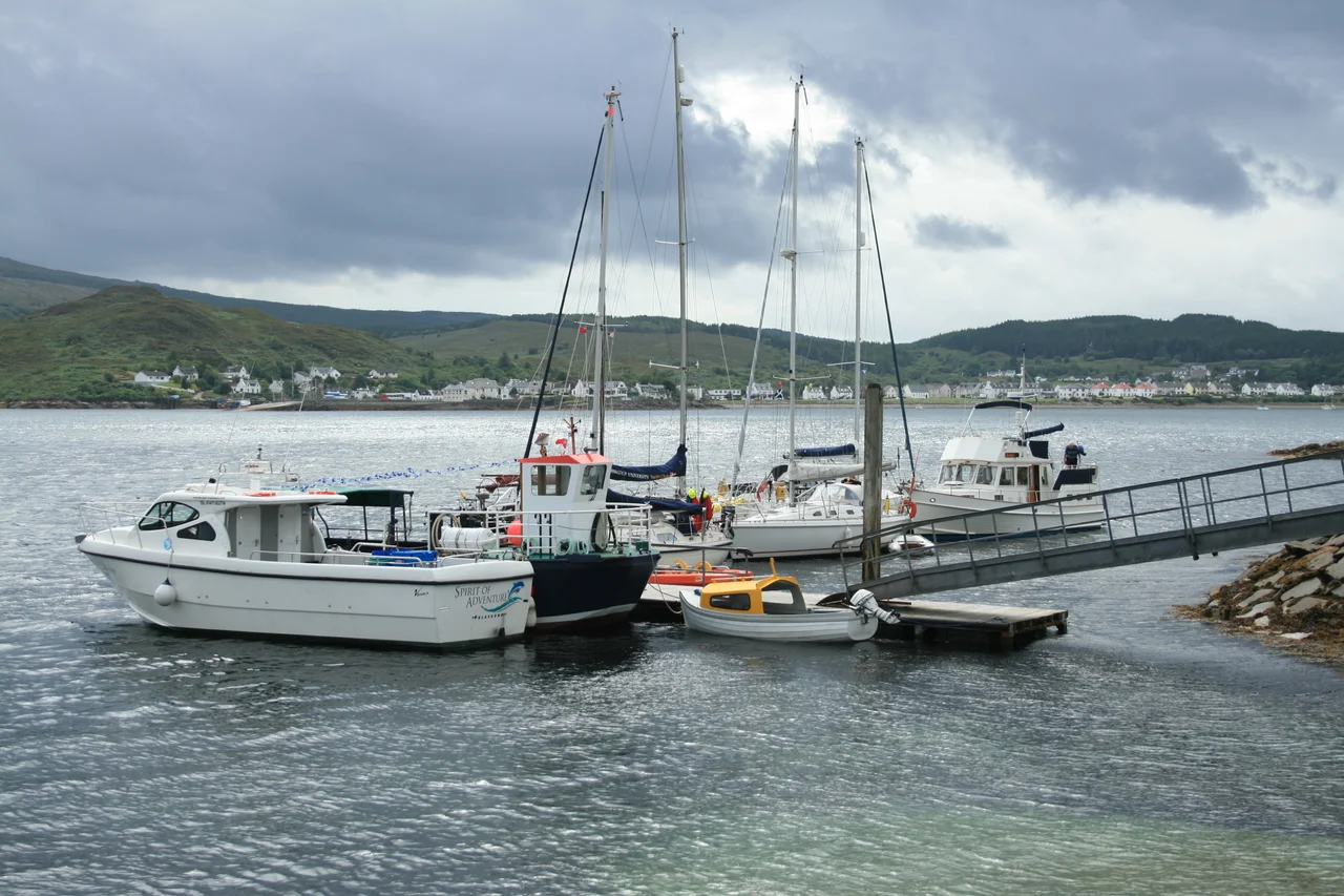

Lochalsh
Look at any map of the Western Highlands and Lochalsh is the bridge between two worlds: mainland and island, Gaelic and English, the long inland glens and the open Atlantic. The Skye Bridge, opened in 1995, finally replaced the ferry that had crossed the Kyle since long before anyone remembered. For ten thousand years before that, this stretch of coast was where everything had to be paid for in some sort of crossing - by boat, by tide, by allegiance, by bloodshed. The geology is older still, and the geology is where this story has to start.
Rocks That Rewrote The Theory
Loch Alsh lies just east of the Moine Thrust Belt, an unusual geological structure that runs diagonally across the Northwest Highlands. In 1907, geologists working in this exact area made a discovery that helped reshape modern geology: they found that younger rocks from the west lay below older rocks of the east, a relationship that could only be explained if vast slabs of crust had slid horizontally over each other under enormous tectonic pressure. The discovery contributed directly to the modern theory of mountain building. The Lewisian gneisses around Loch Alsh date to roughly 2,800 million years ago, among the oldest exposed rocks on Earth. The volcanic gabbro and granite that make up most of nearby Skye are just 55 million years old. In some places the ancient gneisses sit on top of the much younger volcanic rocks - a geological inversion that would not have been believed if it had been merely described, only when the field evidence was undeniable.
Picts, Vikings, And A Norwegian Fleet
The earliest known inhabitants were Picts, a Celtic people whose stone towers - the brochs near Glenelg to the south - still stand more than 2,000 years later. In the late 6th century the area became part of Dal Riata, the Gaelic island kingdom whose language gradually replaced the older Pictish. The seventh and eighth centuries brought Viking raids. From the ninth century until the Treaty of Perth in 1266, control of the Hebrides alternated between the kingdoms of Norway, Alba, and the independent Kingdom of the Isles ruled by figures like Ketil Flatnose, Godred Crovan and Somerled. In 1263 the fleet of Haakon IV of Norway anchored in Loch Alsh on its way south to defeat at the Battle of Largs. The village of Kyleakin, just across the strait, may take its name from that event. Lochalsh has been a strategic crossing point for as long as there have been written records, and probably much longer.
Eilean Donan, Glen Shiel, And The End Of Risings
Eilean Donan Castle, on its small island where three lochs meet at Dornie, was founded in the thirteenth century and became a stronghold of Clan Mackenzie and their allies. In April 1719 Spanish soldiers raised by George Keith, the 10th Earl Marischal, landed near Lochalsh in support of yet another Jacobite rising. They could not march on Inverness as planned. They made Eilean Donan their headquarters. On 10 May 1719 three Royal Navy ships arrived offshore and shelled the castle into ruin. The bulk of Keith's force pulled back to Glen Shiel south of Loch Duich, where they were defeated on 10 June 1719 in the last close engagement between British and foreign troops on mainland British soil. Eilean Donan stayed ruined for more than two hundred years until Lieutenant-Colonel John Macrae-Gilstrap rebuilt it in the twentieth century. The reconstruction is now one of the most photographed castles in the world.
Bridges, Railways, And The Cost Of Modernity
In 1897 the Highland Railway opened the Kyle of Lochalsh Line, connecting Inverness through wild country to the Skye ferry. During the Second World War, Loch Alsh became a Royal Navy base; on 26 November 1940 a minelayer dragged her anchor in a gale and sank in the Kyle, and her wreck still attracts scuba divers. The Skye Bridge, opened in 1995, ended the ferry across the Kyle of Lochalsh that had run continuously since long before anyone could remember. The decision to charge tolls for the bridge produced years of legal and political controversy; for many local people the tolls felt like a tax on simply going home. The tolls were eventually removed in 2004. Today the area is thinly populated - 2,681 people in 2017 across the whole district - with an economy based mainly on tourism, fishing, and a handful of public-sector jobs. The Highland clearances of the eighteenth and nineteenth centuries, followed by the Highland Potato Famine of 1846 to 1852, hollowed out communities that had once supported far more. The descendants of those who left fill genealogies in Canada, Australia, and the United States. The descendants of those who stayed are the ones who still speak Gaelic at home.
From the Air
Located at 57.3487 N, 5.4294 W on the West Highland coast of Scotland. The Lochalsh district covers the mainland around Loch Alsh, Loch Duich and Loch Long, between Loch Carron in the north and Loch Hourn in the south. Distinctive aerial features: the Kyle of Lochalsh narrows between mainland and Skye spanned by the Skye Bridge (opened 1995), Eilean Donan Castle on its island where Loch Long, Loch Duich and Loch Alsh meet at Dornie, Kyle of Lochalsh town and railway terminal, the Five Sisters of Kintail ridge to the southeast. Nearest aerodromes: Plockton airstrip immediately north; Inverness (EGPE) approximately 100 km east. The Kyle Rhea narrows to the south have notoriously strong tidal currents (8+ knots). Weather: this coast faces the open Atlantic and Hebridean weather systems arrive without warning. Visibility can change in minutes. Best photographed in late afternoon when westering sun catches the bridge against Skye and the surrounding sea lochs go silver. The Kyle of Lochalsh Line railway threads spectacular coast along the northern shore from Stromeferry to Kyle.
Nearby Stories
- Tarskavaig 1.9 km away
- Hallaig 3 km away
- Loch Maree Hotel Botulism Poisoning 3.6 km away
- Affric-Beauly hydro-electric power scheme 11 km away
- Invergarry Castle 11 km away
- Knoydart 14 km away
- Skye Trail 21 km away
- Alladale Wilderness Reserve 29 km away