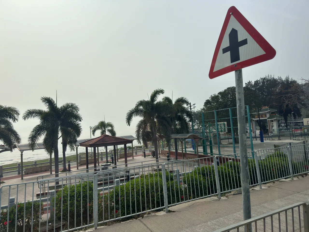

Lung Kwu Tan
Most beaches in Hong Kong turn golden in the sun. Lung Kwu Tan does not. Its sand is black — dark volcanic grains that absorb the heat and give the shoreline a quality unlike anything else on the territory's western coast. The village behind it, tucked into the southwestern shadow of Castle Peak in Tuen Mun District, has been occupied for several hundred years, long enough to accumulate a cave once sheltered a fleeing emperor, a temple to the goddess of the sea, and offshore waters where the rarest dolphins in the region occasionally break the surface.
The Cave the Emperor Slept In
The Southern Song dynasty made its final stand against the invading Mongols in a series of desperate retreats through southeastern China. Emperor Bing — the last emperor of the Song, a child who ruled from 1278 to 1279 — was carried south by loyalists trying to outrun the Mongol advance. Tradition holds that the imperial party reached Lung Kwu Tan, and that the young emperor took shelter in a natural cave on the hillside. Whether the story is literally true matters less than the fact that the cave is still called the Emperor's Cave, that locals have kept the name alive through the centuries, and that the same cave served an entirely different resistance movement during the Japanese occupation of Hong Kong in World War Two — when the Dong Jiang guerrilla force used it as a military base. Two empires, two occupations, one cave. The layers compress here.
Black Sand and White Dolphins
The beach at Lung Kwu Tan is the most immediate draw for visitors who make the trip out along the LRT network from Tuen Mun. Its distinctive dark sand comes from volcanic rock, and the beach has a deliberately undeveloped quality — the kind of place Hongkongers describe as raw or simple, where privately run barbecue sites fill at weekends and the crowds are mostly local families rather than tourists. But the real spectacle requires patience and luck. The Chinese white dolphin — Sousa chinensis, known in Cantonese as the pink dolphin for the colour adults develop — is an endangered species that still finds habitat in the waters off Lung Kwu Tan. Spotting one from the shore is not guaranteed, but it happens. The dolphins share these waters with the industrial presence of the nearby Black Point Power Station, which makes their continued presence here both improbable and quietly remarkable.
A Village With Deep Roots
Lung Kwu Tan Village is a recognized village under the New Territories Small House Policy — one of 36 villages with representation on the Tuen Mun Rural Committee. For much of the late twentieth century, the village's most prominent figure was Lau Wong-fat, who served as chairman of the Heung Yee Kuk from 1980 to 2015. The Heung Yee Kuk is the statutory body representing New Territories indigenous village interests, making Lau one of the most influential rural power brokers in Hong Kong for three and a half decades. A less flattering chapter came in 2021, when police seized ten speedboats and a record 57 outboard engines in a 100,000-square-foot warehouse connected to the Lau family — part of a crackdown on cross-border smuggling operations that had long used these western New Territories waters as a route.
Temple, Ancestors, and Heritage
The spiritual centre of Lung Kwu Tan is the Tin Hau Temple at Pak Long. Tin Hau — the Empress of Heaven, protector of fishermen and seafarers — has temples scattered across Hong Kong's coastline, but Pak Long's version carries genuine local antiquity. Nearby, in Tuk Mei Chung village (part of the Lung Kwu Tan area), the Lau Ancestral Hall stands as a Grade III historic building, its carved beams and enclosed courtyards a remnant of the lineage architecture that once structured life across the New Territories. These two structures — the sea goddess temple and the clan hall — represent the twin organising forces of traditional village life in Hong Kong: the sacred and the ancestral.
Approaching from the Air
Lung Kwu Tan sits at 22.3979°N, 113.924°E, on the western edge of the New Territories where the Pearl River Estuary broadens toward open water. From the air, the coastline here is unmistakable: Castle Peak rises steeply inland, its bulk visible from a great distance, while the Black Point Power Station marks the peninsula's industrial edge. The village and its black-sand beach occupy the quieter, lower ground between these landmarks. Hong Kong International Airport (VHHH) lies to the south-southwest, roughly 20 kilometres across the water. Flying over at 1,500 to 2,000 feet on a clear day, you can trace the dark crescent of the beach against the pale water and, if the light is right, pick out the cave entrance on the hill behind it — the one that once gave shelter to a dynasty's last child.
From the Air
Lung Kwu Tan is at 22.3979°N, 113.924°E in the western New Territories. Best viewed at 1,500–2,000 ft. Castle Peak is the dominant navigation landmark to the northeast. Black Point Power Station marks the peninsula's northern tip. Hong Kong International Airport (VHHH) is approximately 20 km to the south-southwest. The distinctive black-sand beach is visible from directly overhead.
Nearby Stories
- Chapel of St. Francis Xavier 3.5 km away
- Cuiheng 4.1 km away
- 2015 Shenzhen Landslide 16 km away
- Shunde 31 km away
- Wanshan Archipelago 37 km away
- Nanxiong Formation 96 km away
- Heyuan 149 km away
- Checheng Fu'an Temple 629 km away