
Mallaig
The platform at Mallaig railway station sits a hundred yards from the ferry pier. There is a particular kind of traveller who gets off the train here, takes a moment to recognise the smell - diesel from the fishing fleet, fried haddock, salt - and then drags a wheeled suitcase straight across the road to catch a boat. The road ends here too. The A830 from Fort William runs out into a car park with a view of Sleat. After 43 miles of single-track and forty more from Glasgow, this is the place where Scotland stops, and where you have to choose between water and going back.
The West Highland Line
ScotRail's service from Glasgow Queen Street takes 5 hours 20 minutes to reach Mallaig - four trains M-Sa, two on Sunday. The route splits at Crianlarich, with half the train heading for Oban; you need to be in the correct section, via Fort William, Glenfinnan and Arisaig. The West Highland Line is one of the great railway journeys of the world. It crosses Loch Lomond, climbs Rannoch Moor on a floating bed of brushwood, passes beneath Ben Nevis at Fort William, and then arcs across the Glenfinnan Viaduct - a 21-arch concrete bridge built between 1897 and 1901 by Sir Robert McAlpine. The viaduct featured in several Harry Potter films as the bridge the Hogwarts Express crosses, and the daily summer steam service - The Jacobite, run by West Coast Railways - has become known internationally as 'the Harry Potter train.' It terminates here, at Mallaig.
Ferries Outbound
From the pier CalMac runs car ferries to four destinations. Armadale on Skye takes 45 minutes; in summer there are nine sailings Monday to Saturday, six on Sunday. Lochboisdale on South Uist takes 3 hours 30 minutes once daily in summer. The Small Isles ferry - the MV Lochnevis - visits Rum, Eigg, Muck and Canna on a schedule that rotates by day of the week and takes between 90 minutes and 4 hours depending on the route. A separate operator, Western Isles Cruises, runs the boat to Inverie on Knoydart, the most isolated populated peninsula on the British mainland - no road, no electricity from the grid until recently, just one pub (the Old Forge), and a community held together by tide tables. The crossing is 30 minutes. Mallaig is the only practical way in or out.
A Fishing Town That Stayed One
Mallaig's working harbour still lands prawns, langoustines, scallops and white fish, and the smokehouse on the waterfront produces some of the best smoked salmon in Scotland. The Norse name Mel vik means sand-dune bay, marking the spot's status as a useful natural harbour for a millennium. The modern village dates from 1840 when the local laird laid out plots for a fishing community; the railway arrived in 1901 and transformed Mallaig from a scattered fishing settlement into the railhead of the West Highlands. The population peaked above 800 mid-century and now sits at 660. The village feels small for what it does. Everything is walking distance from the station - the Co-op opposite the platform, the few souvenir shops, the chemist, the chandlers, the Chlachain Inn with its impressive single-malt collection.
Morar and Knoydart
Three miles south of Mallaig sits Morar - white shell-sand beaches, a short river running over waterfalls, and behind them all Loch Morar, Britain's deepest freshwater lake at 310 metres. It is a fjord scoured by Pleistocene ice and now drained by a five-mile river. Local folklore gives it a monster called Morag, which has the virtue of being less famous than Nessie and therefore less ridiculous to mention. East across Loch Nevis, the Knoydart peninsula offers some of the wildest walking in Britain - five Munros, a long ridge route, and the satisfaction of arriving at Inverie by boat to find a pub that has run out of beer. Mallaig is the door to all of it. Trains in, ferries out, and the road back south for those who decide not to commit.
From the Air
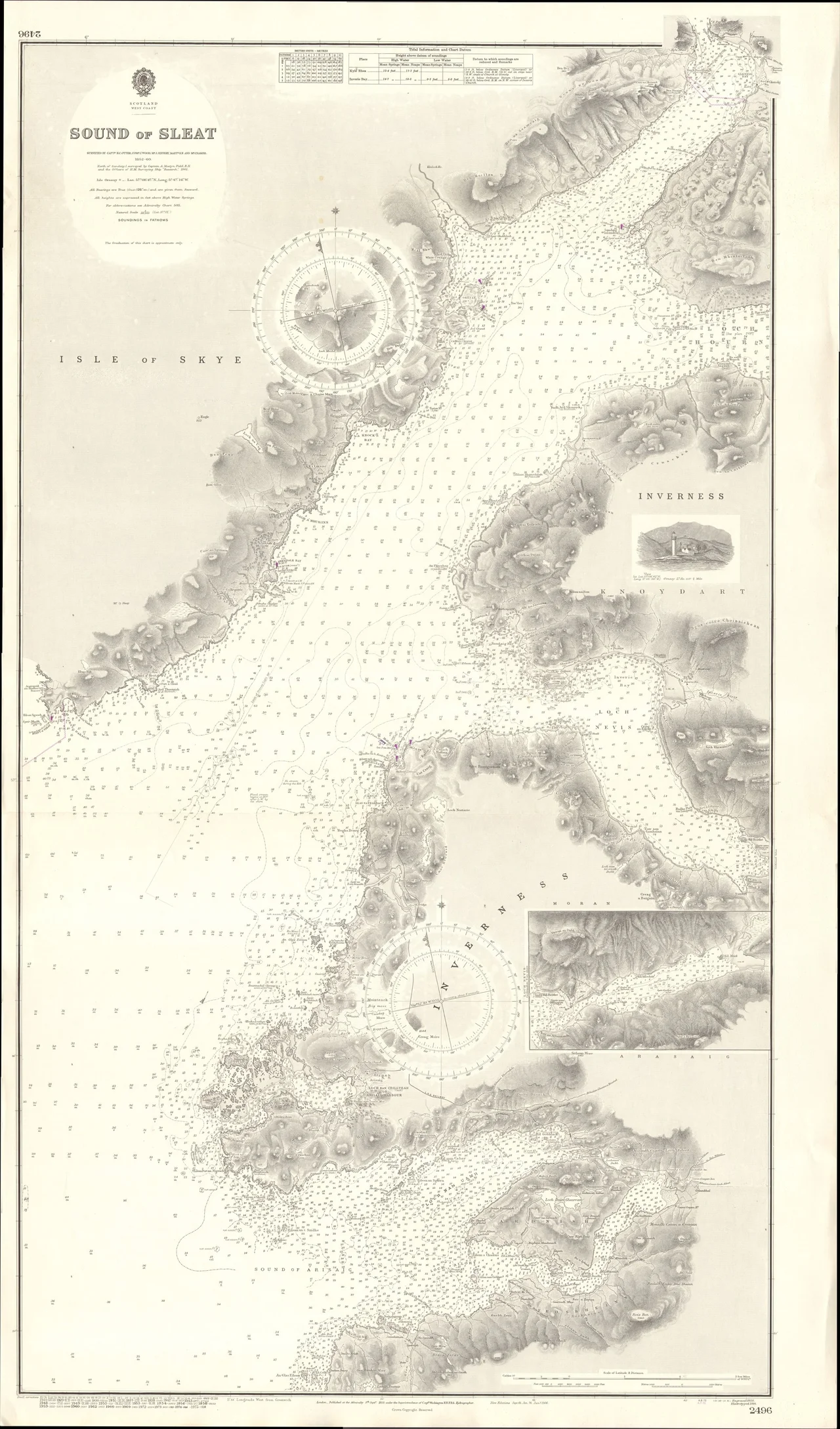
Mallaig sits at 57.00 N, 5.83 W on the western mainland, opposite the south of Skye. Recommended viewing altitude 1,500-3,000 ft AGL. The town is best identified from the air by its harbour - a deep curved inlet just south of Loch Nevis - with the railway line approaching from the south along the coast through Morar and Arisaig. The Sound of Sleat to the west separates Mallaig from Armadale on Skye (4 nm across). Nearest ICAO airports: Inverness (EGPE) ~75 nm east, Oban (EGEO) ~45 nm south, Glasgow (EGPF) ~120 nm south. The Glenfinnan Viaduct is visible 15 nm east-southeast along the railway corridor. Strong Atlantic weather: low cloud, rain, and rapid visibility changes are routine. The Sound of Sleat provides a relatively sheltered visual corridor.
Nearby Stories
- Rùm 4.7 km away
- Eden (2016 TV Series) 6.2 km away
- Plockton 9.7 km away
- Wiay, Inner Hebrides 11 km away
- Ballachulish 14 km away
- Stand-off at the Fords of Arkaig 19 km away
- Coll 22 km away
- Affric-Beauly hydro-electric power scheme 29 km away