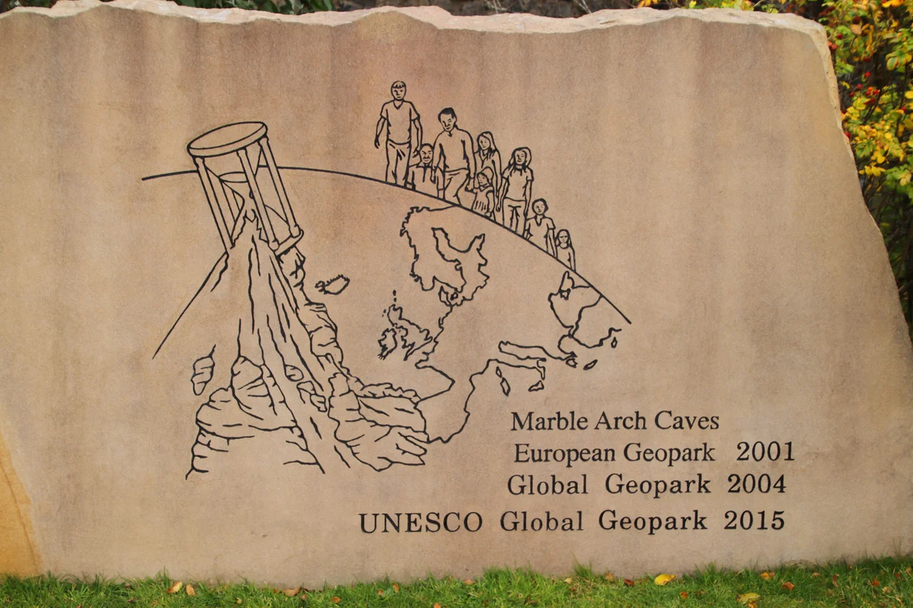

Marble Arch Caves Global Geopark
In September 2008, a geopark in the limestone country south of Lower Lough Erne quietly made global history. By extending its boundaries across an international frontier into the Republic of Ireland, the Marble Arch Caves Geopark became the world's first transnational geopark in the European and Global Geoparks Networks. That this had not happened anywhere else on Earth before is the kind of bureaucratic milestone that sounds dull until you realise what it actually means: a single protected landscape, jointly managed by councils in two different jurisdictions, with one shared interpretive identity. The site, now known as the Cuilcagh Lakelands Geopark, covers over 30 discrete areas across County Fermanagh and neighbouring parts of County Cavan, all united by a shared geological story going back 350 million years.
The First Caver
The Marble Arch Caves themselves were first explored in 1895 by a French speleologist named Edouard-Alfred Martel together with the Irish naturalist Lyster Jameson. Martel was already one of the most celebrated cave explorers in Europe, the man who effectively founded the modern science of speleology. He had explored the Gouffre de Padirac in France with a folding boat, descended into countless other systems across Europe, and now he was navigating a previously unexplored Irish river-cave system. Over the following seventy years, members of the Yorkshire Ramblers' Club and other speleological organisations gradually mapped the rest of the system. The caves were opened to the public as a show cave operation and are now one of Northern Ireland's most popular visitor attractions, taking guests through an underground world by boat and on foot. The caves are themselves of unknown precise age, but their dateable features extend back over 380,000 years.
Carbon Through Time
The Geopark sits almost entirely on Carboniferous bedrock, sandstones, mudstones and limestones deposited around 325 million years ago when this part of the world lay just south of the equator under a warm shallow sea. The Marble Arch Caves are developed in the Asbian-age Glencar Limestone Formation and the Knockmore Limestone Member of the Dartry Limestone Formation. Cuilcagh Mountain itself is built from younger sandstones and shales of the Glenade Sandstone, Briscloonagh Sandstone, Lackagh Sandstone, Bencroy Shale and Gowlaun Shale Formations. Far older rocks, quartzo-feldspathic gneisses formed by ancient marine sandstones metamorphosed during the Caledonian Orogeny over 400 million years ago, outcrop northwest of Lower Lough Erne. Around Lack and Tappaghan Mountain are Dalradian schists and marbles. The Geopark, in other words, telescopes hundreds of millions of years of geological time into a manageable distance you can drive in an afternoon.
The Drumlin Sea
The most recent chapter of the Geopark's geology was written in ice. During the most recent glaciation, the Midlandian or Devensian, an ice sheet over a kilometre thick covered the entire region. The ice flowed broadly from east to west but turned southward south of Upper Lough Erne. As it moved, it sculpted the underlying rock and till into thousands of small ovoid hills called drumlins. The whole landscape is now covered by what geographers call a 'drumlin swarm,' with the hills' alignment recording the direction of ice flow. The distinctive shape of Upper Lough Erne, with its hundreds of small islands, comes from the partial drowning of drumlins after the ice retreated, when sea level and lake level were both rising. Cavan Burren Park near Blacklion has an interpretive trail featuring some of the most photogenic glacial erratics, huge boulders carried south by the ice and deposited as the glaciers melted.
Shannon's Salmon of Wisdom
Shannon Pot, the natural spring on the southern slope of Cuilcagh Mountain that is considered the source of the River Shannon, sits within the Geopark and has an extraordinary depth of mythology attached. The pool is named for Sionann, granddaughter of the Celtic sea-god Manannan mac Lir, who according to legend came to this spot in search of the Salmon of Wisdom. She had been warned not to approach Connla's Well, where the salmon swam, but she went anyway. In some versions she caught and ate the salmon, becoming the wisest being on Earth. In others she merely drank from the well. Either way, the waters of the well burst forth, drowned her, and carried her body out to sea. She thus became the goddess of the river that bears her name. Patricia Monaghan notes that 'the drowning of a goddess in a river is common in Irish mythology and typically represents the dissolving of her divine power into the water, which then gives life to the land.' The Cavan Burren Park nearby also contains the Calf House, also known as Druid's Altar, a fine Neolithic portal tomb, and the Giant's Leap wedge tomb, marking this same ground as sacred for at least 5,000 years.
Castles, Caves and Crossings
The Geopark is dotted with historic sites: Castle Caldwell on the western end of Lower Lough Erne, Tully Castle, Monea Castle, the ruined Drumlane Abbey, and Enniskillen Castle which is now refurbished as a museum. Devenish Island, accessible by boat in Lower Lough Erne, is a registered ancient monastic site. Boa Island, accessible by road off the northern shore, contains important scheduled monuments related to early Christianity, including its famous Janus figures. The Geopark is jointly managed by Fermanagh and Omagh District Council and Cavan County Council, and during European Geoparks Week at the turn of May and June each year, it joins the network of geoparks across Europe in coordinated programming. From an interpretive landscape that spans 7,000 to 8,000 years of recorded human occupation, the Marble Arch Caves Geopark has become more than just a tourist attraction. It is a working demonstration that landscape ignores borders, that geology has no nationality, and that two political entities can quietly manage a single shared inheritance together.
From the Air
The Marble Arch Caves Global Geopark, now the Cuilcagh Lakelands Geopark, is centred at 54.26°N, 7.81°W, just southwest of Enniskillen in County Fermanagh, but extends across the international border into County Cavan and northwest as far as Belleek and Pettigo. It is bounded roughly by Lower Lough Erne to the north, the town of Cavan to the southeast, and the Belmore Mountain to Cliffs of Magho ridge to the west. Nearest commercial airports are City of Derry (EGAE) about 80 km north, Belfast International (EGAA) about 100 km east, Knock (EIKN) about 100 km southwest, and Sligo (EISG) about 50 km west. From altitude the karst country south of Belcoo shows distinctive sinkhole patterns, and Cuilcagh's flat-topped ridge dominates the southern boundary. Lower Lough Erne's archipelago of drowned drumlins is the geopark's signature landscape feature. Best viewing altitude 3,000-5,000 ft for the cave country and the loughs together.
Nearby Stories
- Border Region 1.7 km away
- Fintona 4.3 km away
- Ballaghaderreen Branch Line 4.5 km away
- Ballysadare 5 km away
- Monastery of Mohill-Manchan 5.5 km away
- Pettigo 8.1 km away
- Ulster Canal 11 km away
- Killybegs 16 km away