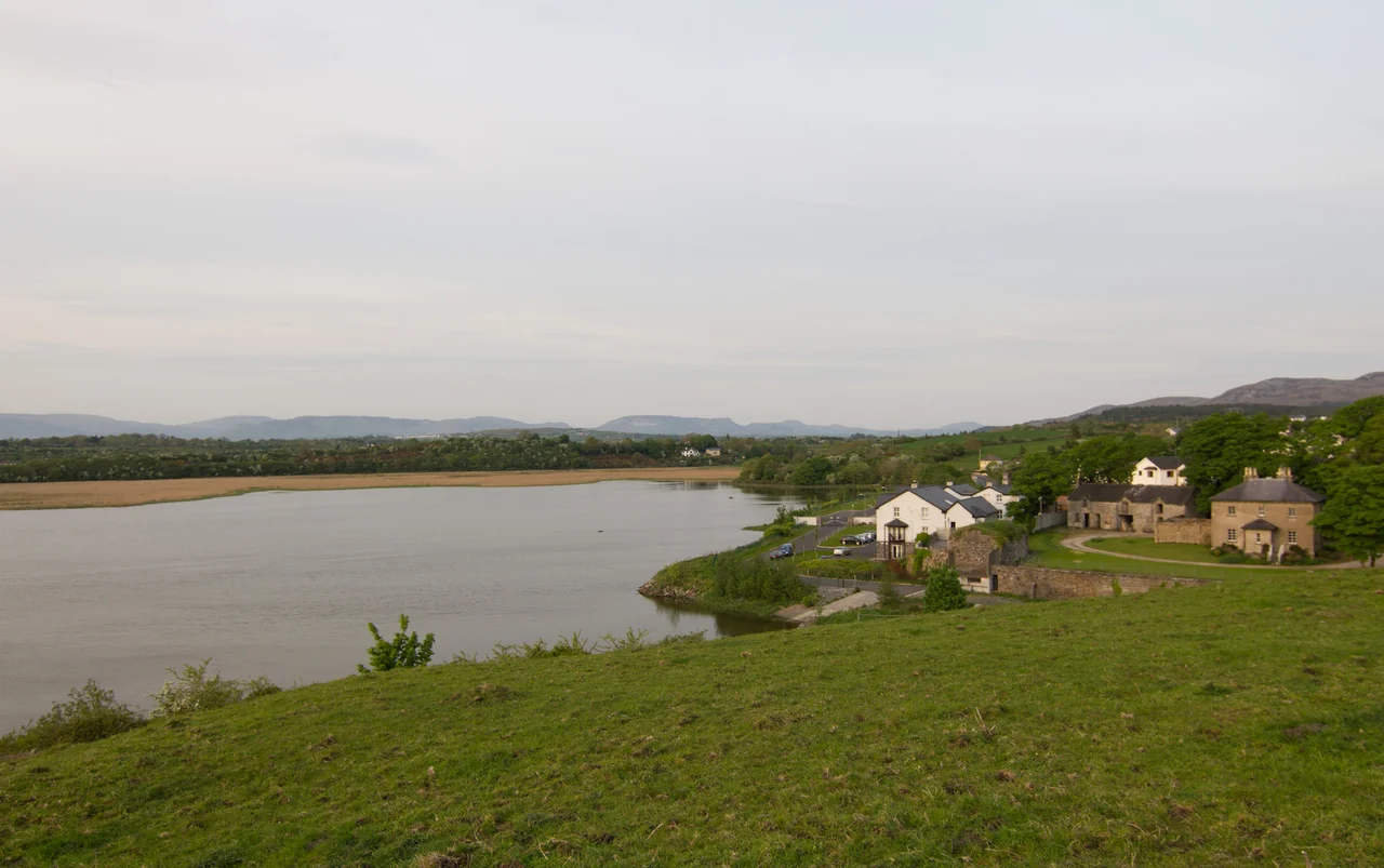

Ballysadare
In 575 AD, Saint Columba travelled from his monastery on Iona to a place in Sligo then known as Easdara. Word had gone out that he was coming, and the prelates of the surrounding regions assembled to meet him - bishops, abbots, holy men and women, distinguished saints of the race of Cumne. The chronicler who recorded the gathering wrote that the multitude was almost beyond counting. Columba was about to return to Britain. Before he sailed, he wanted to consult with the leaders of the Irish church one final time. The crossroads town they chose was Easdara - what is now Ballysadare. Five centuries before the Normans, four centuries before the Vikings, this small market town beside a river crossing was already a regional capital of the spirit.
Nagnata?
In the second century AD, the Alexandrian Greek geographer Claudius Ptolemy compiled the first known map of Ireland based on the reports of merchants and traders. Among the towns he marked was a place called Nagnata, somewhere in the west. Modern scholars have proposed several locations. One leading candidate is Ballysadare. If correct, the town beside the Owenmore River has been on a map - the first map of this island - for nearly two thousand years. Ptolemy never visited. He plotted his coordinates from the verbal accounts of others. But the fact that traders bothered to tell him about Nagnata at all - while leaving most of Ireland uncharted - suggests this was already a place of consequence, a hub of trade, contact, and movement before the saints arrived.
Saint Feichin
Saint Feichin was born in the townland of Billa - bile in Irish meaning a sacred tree or grove - and grew up in the parish of Ballysadare. He studied under Saint Nath I of Achonry, to the south. After his ordination he founded a church in Kilboglashy townland, where the ruin still stands as Teampal mor Feichin, the Great Temple of Feichin. A later Romanesque doorway is carved into the stonework. Feichin died in 664 AD. His monastic site, with its stone church, two small outbuildings, and graveyard, is still walkable. Nearby is the Leaba St Feichin - the saint's bed, a stone hollow associated with him. In the thirteenth century the Augustinian canons built a newer priory just to the west at Abbeytown. In 1588 Crown agents seized all the monastery lands around Ballysadare. The buildings survived. The institution did not.
The Bridge of 1360
The Annals of the Four Masters - the great Irish chronicle compiled in the 1630s from earlier sources - mention Ballysadare fifteen times between 1158 and 1602. In the entry for 1360, the annalists record something specific: a bridge of lime and stone was built by Cathal O'Conor across the river of Eas-dara. The bridge was a major undertaking for fourteenth-century Connacht and a sign of the town's importance as a crossing point. The O'Hara were lords of Luighne, the surrounding territory. The O'Duillenain were the erenachs - hereditary stewards of church land. The names rise and fall through the annals: skirmishes, alliances, deaths, comings and goings. The bridge itself is gone. But the river crossing is still there, and the road from Sligo south still funnels through Ballysadare the way it has for at least seven centuries.
Pollexfen's Mill
In the nineteenth century, the Pollexfen family operated a substantial flour mill on the river at Ballysadare. The Pollexfens were merchants and shipowners based in Sligo. The poet William Butler Yeats was their grandson - his mother Susan Pollexfen had grown up in Sligo, and the family's industrial enterprises shaped both the local economy and the imaginative landscape Yeats would later draw on. The mill is long since demolished. A hydroelectric station now stands in the area, drawing power from the same river that turned the millwheels. The town today has been bypassed by the N4 dual carriageway, completed in January 1998. The older N59 still winds through. Most of the traffic that used to define Ballysadare passes a kilometre to the east and never sees the church, the bridge, the temple, or the river that lent the place its name.
Tiger and Ghost
Between 1996 and 2022, the population of Ballysadare nearly tripled - from 612 to 1,747. This was the Celtic Tiger boom, when commuter housing spread out from every major Irish town. New estates went up on the edges of the village. Some were finished and occupied. Others were half-built or fully built and then left empty when the property bubble burst in 2008. Ireland called these ghost estates: rows of new houses with no buyers, gardens overgrown, kitchens fitted out but never used. Ballysadare had several. Most have since been bought, demolished, or repurposed. Yet the strange visual archaeology of those years still scars some streets - the contrast between a thirteenth-century priory ruin in Abbeytown and a 2007 housing development with no occupants. The town has been continuously inhabited for the better part of two millennia. It has seen booms come and go before.
From the Air
Ballysadare sits at 54.212 N, 8.509 W in south County Sligo, just south of Sligo town. The nearest airport is Sligo Airport (EISG), about 12 km north. Ireland West Airport Knock (EIKN) is about 60 km southwest. From 2,500 feet on a clear day, you can pick out the line of the Owenmore River winding through the town and the wide opening of Ballysadare Bay to the west. The N4 dual carriageway bypass runs to the east. Sligo town and Knocknarea Mountain are visible to the north. This is sheltered coastal country - the weather is gentler here than further west on the Atlantic.
Nearby Stories
- Killala 5.5 km away
- Ballaghaderreen 7.4 km away
- Townlands of Kilcommon 10 km away
- River Shannon 11 km away
- Monastery of Mohill-Manchan 15 km away
- Pettigo 18 km away
- Killybegs 19 km away
- RMS Empress of Britain (1930) 97 km away