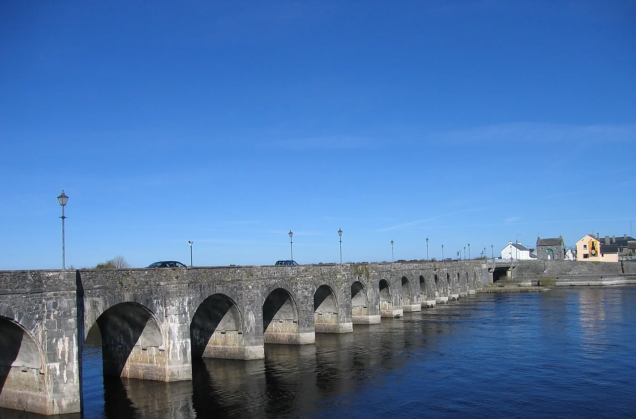

River Shannon
She was warned not to go. Sionann, granddaughter of the Celtic sea-god Manannan mac Lir, had been told to stay away from Connla's Well, a sacred spring in the otherworld where the Salmon of Wisdom swam. In one version of the legend she caught and ate the salmon, becoming the wisest being on Earth. In another she merely drank from the well. Either way, the waters of the well burst forth, drowned her, and carried her body out to sea. She became the goddess of the river that now bears her name. The drowning is what matters: as the folklorist Patricia Monaghan put it, the death of a goddess in a river typically represents the dissolving of her divine power into the water, which then gives life to the land. The River Shannon, at 360 kilometres the longest river in the British Isles, is in Irish mythology a flow of feminine wisdom that has been giving life to the centre of Ireland for as long as anyone has measured it.
From the Pot
By tradition the Shannon rises in the Shannon Pot, a small dark pool on the southern slope of Cuilcagh Mountain in the townland of Derrylahan, County Cavan. From the surface it looks unimpressive, a quiet round pool with a stream trickling out. Beneath, it is the gathering point of a 12.8 square kilometre catchment of swallow holes and underground passages that drain water from Garvah Lough to the northeast through a hidden conduit called Pollnaowen, from Pollboy and Pollahune, and through Shannon Cave from Polltullyard and Tullynakeeragh in County Fermanagh north of the international border. The highest source spring is at Tiltinbane on the western end of the Cuilcagh ridge. From this small pool a trout stream emerges and begins its long journey south. It will pass through or between eleven Irish counties, absorbing the Boyle, Inny, Suck, Mulkear, Brosna and dozens of other tributaries, before reaching the Atlantic at Limerick.
Ptolemy's Sinew
The Shannon has been on maps for longer than almost any other river in Western Europe. The Graeco-Egyptian geographer Ptolemy, writing in Alexandria around 150 AD, recorded a river in Ireland called Senos, from the Proto-Indo-European root meaning 'to bind,' the same root that gives English the word 'sinew.' The name referred to the long sinuous estuary leading up to what is now Limerick. The river became a Viking highway in the 10th century, when Norse raiders pushed inland to plunder the rich monasteries along its banks. In 937 the Vikings of Limerick clashed with the Vikings of Dublin on Lough Ree and were defeated. By the 17th century the Shannon had become a strategic barrier in military campaigns. In the Irish Confederate Wars of 1641-53, the Irish retreated behind it in 1650 and held out for two more years. Oliver Cromwell reportedly offered the remaining Irish landowners a choice: 'Hell or Connacht,' meaning forced migration west across the Shannon, or death.
The Three Loughs and a Question of Length
The river is, by most measures, lazy. It falls only 18 metres in its first 250 kilometres, and only 76 metres total above sea level. As a result it widens into a series of enormous loughs: Lough Allen, then Lough Ree, then Lough Derg, each of which is more lake than river. About 45 per cent of the river's length is true freshwater river; the rest is either lake or tidal estuary. The estuary itself is 102 kilometres long. Many different values have been given for the total length, ranging from 280 kilometres to 390 kilometres, depending on where you decide the river ends. The official Irish figure is 360.5 kilometres, broken down as 258.1 km freshwater plus 102.1 km tidal. By volume the Shannon is by far Ireland's largest river, with a long-term average flow of 208.1 cubic metres per second at Limerick, almost double the flow of Ireland's next biggest river, the short and steep Corrib at Galway.
Telford's Locks and Ardnacrusha's Dam
The first serious attempt to improve navigation came in 1755, when the Commissioners of Inland Navigation ordered an English engineer named Thomas Omer, possibly of Dutch origin, to begin work. He built lateral canals and locks at four obstructed places between Lough Derg and Lough Ree, then continued north of Lough Ree, creating the first Jamestown Canal that cut out a loop between Jamestown and Drumsna. By the 1820s, larger ambitions took hold. The Shannon Navigation was extended and improved through much of the 19th century, eventually connecting via the Royal Canal and Grand Canal to Dublin. The river's defining 20th-century intervention came in 1929, when the Ardnacrusha hydroelectric dam was built just upstream of Limerick. Ardnacrusha was an extraordinary engineering project for an Irish Free State only a few years old, briefly the largest hydroelectric station in the world, and the keystone of the new state's electrification programme. It also severely impacted salmon breeding, which combined with quotas had caused commercial salmon fishing on the Shannon estuary to cease by the 1950s.
Bauxite, Eel and the Pipeline Question
Modern Shannon estuary trade is dominated by heavy industrial cargoes that the medieval Vikings would not have recognised. In 1982 a large-scale alumina extraction plant opened at Aughinish. 60,000-tonne cargo vessels now carry raw bauxite from West African mines to be refined into alumina, which is then shipped to Canada for further refining into aluminium. In 1985 a 915-megawatt coal-fired power station opened at Moneypoint, fed by regular 150,000-tonne bulk carriers. A tanker terminal at Foynes and an oil jetty at Shannon Airport opened in the same period. The Shannon's eel population has crashed, and a trap-and-transport scheme now ensures safe passage for young eels between Lough Derg and the estuary. The biggest current controversy is the proposed Shannon-to-Dublin water pipeline, which would extract up to 350 million litres a day from Lough Derg and pipe it east to the growing population of Dublin. Local objections run deep: the Shannon, in folk understanding and political fact, is the water that has watered the heart of Ireland for thousands of years, and the idea of sending it east to drink in the capital touches something older than economics. Somewhere in the estuary, if you believe the older stories, the bones of Sionann are still dissolving into the river that bears her name.
From the Air
The River Shannon source at Shannon Pot is at 54.23°N, 7.92°W on the southern slope of Cuilcagh Mountain in County Cavan, near Glangevlin village. The river then flows south through Lough Allen, Lough Ree, Lough Derg, past Athlone and Limerick to the Atlantic at the Shannon Estuary. Total length 360.5 km. Major tributaries include the Boyle, Inny, Suck, Mulkear and Brosna. From altitude the river's three great loughs form distinctive elongated water bodies, with Lough Derg the longest at 24 miles. Following the Shannon from north to south offers one of the great cross-country flights in Ireland. Nearest commercial airports along the course include Knock (EIKN), Shannon (EINN) at the estuary, and at the source Sligo (EISG) and Belfast (EGAA). Best viewing altitude varies, but 3,000-6,000 ft offers good context for the river and surrounding farmland; the estuary is best viewed at higher altitudes 5,000-10,000 ft for its full sinuous shape from above.
Nearby Stories
- Border Region 1.7 km away
- Fintona 4.3 km away
- Ballaghaderreen Branch Line 4.5 km away
- Ballysadare 5 km away
- Monastery of Mohill-Manchan 5.5 km away
- Pettigo 8.1 km away
- Ulster Canal 11 km away
- Killybegs 16 km away