_02.jpg)
Matthew Flinders
A boy in the flat fenland of Lincolnshire read Robinson Crusoe and could not shake it loose. Matthew Flinders went to sea at fifteen against his family's wishes, and over the next twenty years he charted a coastline longer than the one Crusoe ever dreamed of. In July 1799 his little sloop Norfolk slipped into Moreton Bay, the first European vessel to probe these waters in earnest. Aboard with him was Bungaree, an Aboriginal man whose skill at reading country and reading people Flinders came to depend on. Together they would help put this stretch of the world on the map, though the map would cost Flinders almost everything.
Six Days into Moreton Bay
Flinders and Bungaree reached Moreton Bay on 14 July 1799, six days out from Sydney, hunting for a great river the navigator was sure must drain this coast. He never found the Brisbane River, hidden behind its bars and islands, but he charted what he could. He named a narrow channel the Pumice Stone River, not realising it cut Bribie Island off from the mainland; today it is the Pumicestone Passage. Most encounters with the bay's Aboriginal people were peaceful. One was not: at the southern tip of Bribie Island a thrown spear ended with a local man wounded by gunfire, and Flinders, with the unease of a man recording his own failure, named the spot Point Skirmish. He and Bungaree climbed inland toward the strange volcanic plugs of the Glass House Mountains before the cliffs of Mount Tibrogargan turned them back.
All the Way Around
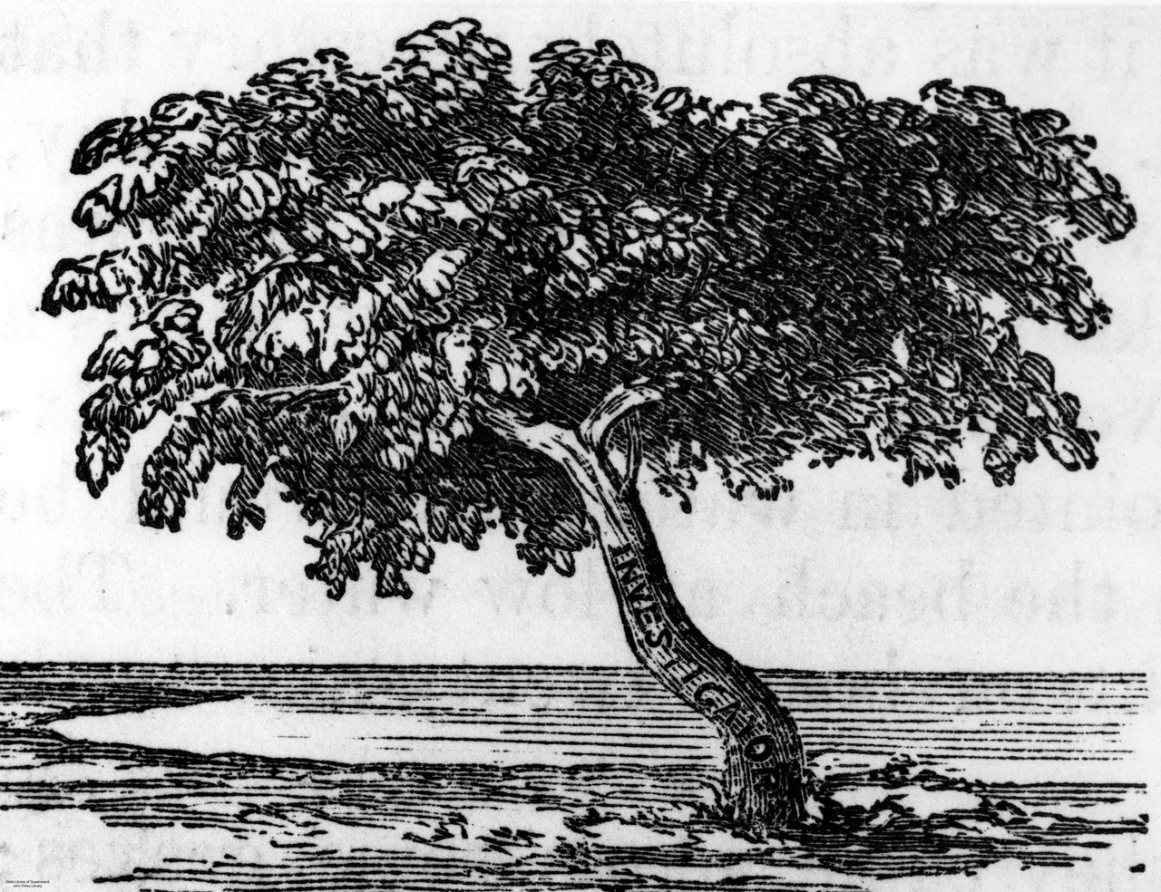
Two years later he returned with a proper ship, the Investigator, a botanist, an artist, and a commission to chart the whole continent then called New Holland. Bungaree sailed again, and so did a cat. Trim, born aboard ship in 1799, black with white paws, chin and chest, became the most famous animal in Australian exploration; Flinders adored him and later wrote a small biography of him. Between 1801 and 1803 the Investigator traced the southern coast, rounded the unknown west, and worked up through the Gulf of Carpentaria, completing the first inshore circumnavigation of the mainland. Flinders credited Bungaree's diplomacy with keeping the peace at landfall after landfall, praising his 'good disposition and open and manly conduct.' By the time the worn-out ship reached Sydney she was condemned as unseaworthy.
A Name for a Continent
Flinders gave the place its name. Sailors and mapmakers had called it New Holland or the clumsy Latin Terra Australis; Flinders preferred Australia, a word he found 'more agreeable to the ear.' In 1804 he wrote to his brother, 'I call the whole island Australia.' The choice took root, championed later by Governor Macquarie, until it belonged to a nation. There is a deep irony here. The man who named Australia barely lived in it, and when his great book and atlas were finally published in London in July 1814, he was unconscious on his deathbed. His wife laid the volumes on the bedclothes so his fingers could touch them. He died the next day, aged forty, of kidney disease, never knowing his name for the continent had won.
The Prisoner of Mauritius
The cruelest chapter came on the way home. Forced by a leaking ship to put in at French-held Mauritius in December 1803, Flinders expected the scientific nature of his mission to protect him. It did not. War had reopened between Britain and France, and the suspicious governor, Decaen, detained him. Six and a half years passed. Flinders filled them writing up his voyages and arguing, in letters, for the name Australia, while his wife waited in England, unseen for nearly a decade. He was finally paroled in 1810, already broken in health. Then his grave was lost too. The London burial ground was built over by Euston Station, and only in 2019, during excavation for a high-speed railway, did archaeologists identify his coffin by its lead nameplate. On 13 July 2024, beneath an eighteen-gun salute and an Australian flag, Matthew Flinders was at last carried home and reburied in Donington, the Lincolnshire village where the boy first dreamed of the sea.
From the Air
Flinders Day is marked at Coochiemudlo Island, where he stepped ashore on 19 July 1799, at roughly 27.57 degrees south, 153.33 degrees east in southern Moreton Bay. To retrace his 1799 track, fly north up the bay toward the Pumicestone Passage (around 27.0 degrees south, 153.1 degrees east), the narrow channel he named, with the distinctive volcanic peaks of the Glass House Mountains rising inland to the west; best appreciated at 2,000 to 4,000 feet, where the whole sweep of bay, island and mountain reads as a single chart. Mount Tibrogargan and Beerburrum are clear landmarks. Nearest airports are Brisbane (YBBN / BNE) to the south and Caboolture (YCAB) near the passage; coastal haze is frequent, and morning light off the water is best for seeing the bars and islands that hid the Brisbane River from him.
Nearby Stories
- Bribie Island 12 km away
- Cressbrook Homestead 17 km away
- Beenleigh Rum Distillery 18 km away
- Main Range National Park 39 km away
- 2010-2011 Queensland Floods 47 km away
- Cape Byron 115 km away
- Cape Byron Light 145 km away
- HMS Porpoise (1799) 570 km away