
Main Range National Park
Stand at Cunningham's Gap and the mountains rise on either hand like the rim of a vast green bowl. This is the western edge of the Scenic Rim, a great semicircle of peaks that curves across South East Queensland, and Main Range holds up its long western wall. More than forty summits here climb above a thousand metres. The highest, Mount Superbus, reaches 1,375 metres, the loftiest point in the whole southern half of the state. The rock underfoot is older than it looks, and the forest clinging to it is a living fragment of a vanished world.
A Volcano Without a Peak
Between 25 and 22 million years ago, in the Tertiary period, a shield volcano built this range, but not in the way a child draws a volcano. Instead of a single cone, it bled lava through countless basalt dykes, sending sheet after sheet of molten rock spreading sideways across the landscape. Those horizontal flows, mostly basalt with seams of paler trachyte, cooled and hardened into the bones of the Main Range, the Little Liverpool Range, and the Mistake Range. Once they covered far more ground, reaching out across what are now the Lockyer and Fassifern Valleys, before erosion stripped the softer country away and left these stacked summits standing. The peaks you see today, Mount Cordeaux, Mount Mitchell, Spicers Peak, Bare Rock, are the durable remnants of that enormous outpouring.
The Last Great Rainforest
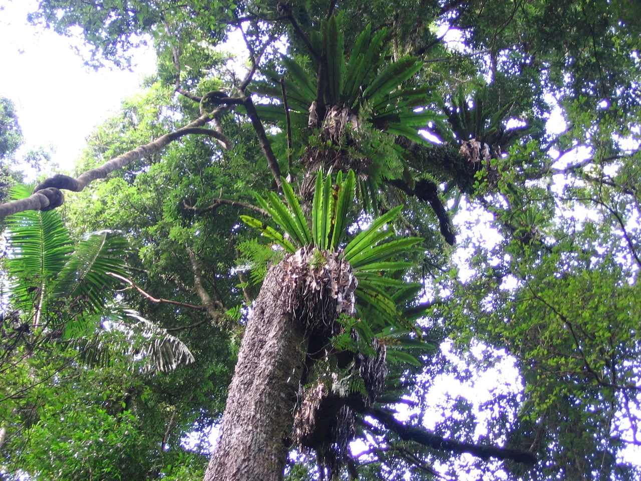
Draped across that old volcanic stone is the largest area of rainforest left in South East Queensland, and it is no ordinary bush. Main Range belongs to the Gondwana Rainforests of Australia, a World Heritage site whose plant lineages reach back to the supercontinent of Gondwana, surviving relics of the forests that once cloaked the southern hemisphere. The cool, dripping canopy shelters creatures found almost nowhere else. BirdLife International names this an Important Bird Area for good reason: the eastern bristlebird, Coxen's fig parrot, and the black-breasted buttonquail all cling to existence here, each threatened with extinction, while the rare red goshawk hunts overhead. In the wetter gullies of the Goomburra section live endangered amphibians with marvellous names, the giant barred frog and Fleay's barred frog, alongside the spotted-tailed quoll and the elusive Hastings River mouse.
An Ancient Pathway
People moved through these mountains long before they were a park. Spicers Gap, the saddle between Mount Mitchell and Spicers Peak, is believed to have been a traditional pathway for Aboriginal people travelling between the inland plains and the coast, a route worn by generations crossing the range. When the colonial era arrived it came fast and hard. Allan Cunningham documented Cunningham's Gap in 1828; by 1841 Ernest Dalrymple had taken up the Goomburra pastoral run, and Dalrymple Creek still carries his name. Within a few years Henry Alphen had reopened Spicers Gap as a stock route, and wagons began grinding supplies up and over what had been a walking track. The same passes that Aboriginal people had used for travel and trade became, almost overnight, the arteries of dispossession.
A Park in the Making
The idea of protecting this country took root early. In 1909 the land around Cunningham's Gap was declared a national park, part of the first wave of reservations that gave Queensland some of Australia's earliest protected areas. Over the following decades the boundaries grew, knitting together the peaks and forests of the western Scenic Rim into the Main Range National Park as it stands today. International recognition followed in 1994, when the UNESCO World Heritage Committee extended the rainforest reserve to take in the Goomburra Forest. The park now runs from Kangaroo Mountain in the north all the way south to Wilsons Peak on the New South Wales border, a rugged ribbon of summits, rainforest, and montane heath, roughly 85 kilometres southwest of Brisbane and entirely worth the climb.
From the Air
Main Range National Park sprawls along the Great Dividing Range west of the Scenic Rim, centred near 27.82 degrees south, 152.27 degrees east, about 85 km southwest of Brisbane. From the air it presents a long line of forested peaks: Cunningham's Gap forms a clear saddle on the Cunningham Highway, with Mount Mitchell (1,168 m) and Mount Cordeaux flanking it, while Mount Superbus (1,375 m), South East Queensland's highest point, anchors the southern end near the New South Wales border. The dark, dense rainforest canopy contrasts sharply with the cleared farmland of the Fassifern and Lockyer Valleys below. Amberley (YAMB) lies to the northeast near Ipswich; Toowoomba Wellcamp (YBWW) is to the northwest. Peaks frequently gather cloud and the terrain is unforgiving, so favour clear, stable air and generous altitude.
Nearby Stories
- Lone Pine Koala Sanctuary 8.2 km away
- 2010-2011 Queensland Floods 20 km away
- Darling Downs 24 km away
- Tamborine National Park 24 km away
- Border Ranges National Park 27 km away
- Jondaryan Homestead 37 km away
- 1937 Airlines of Australia Stinson crash 73 km away
- Glen Innes Showground 180 km away