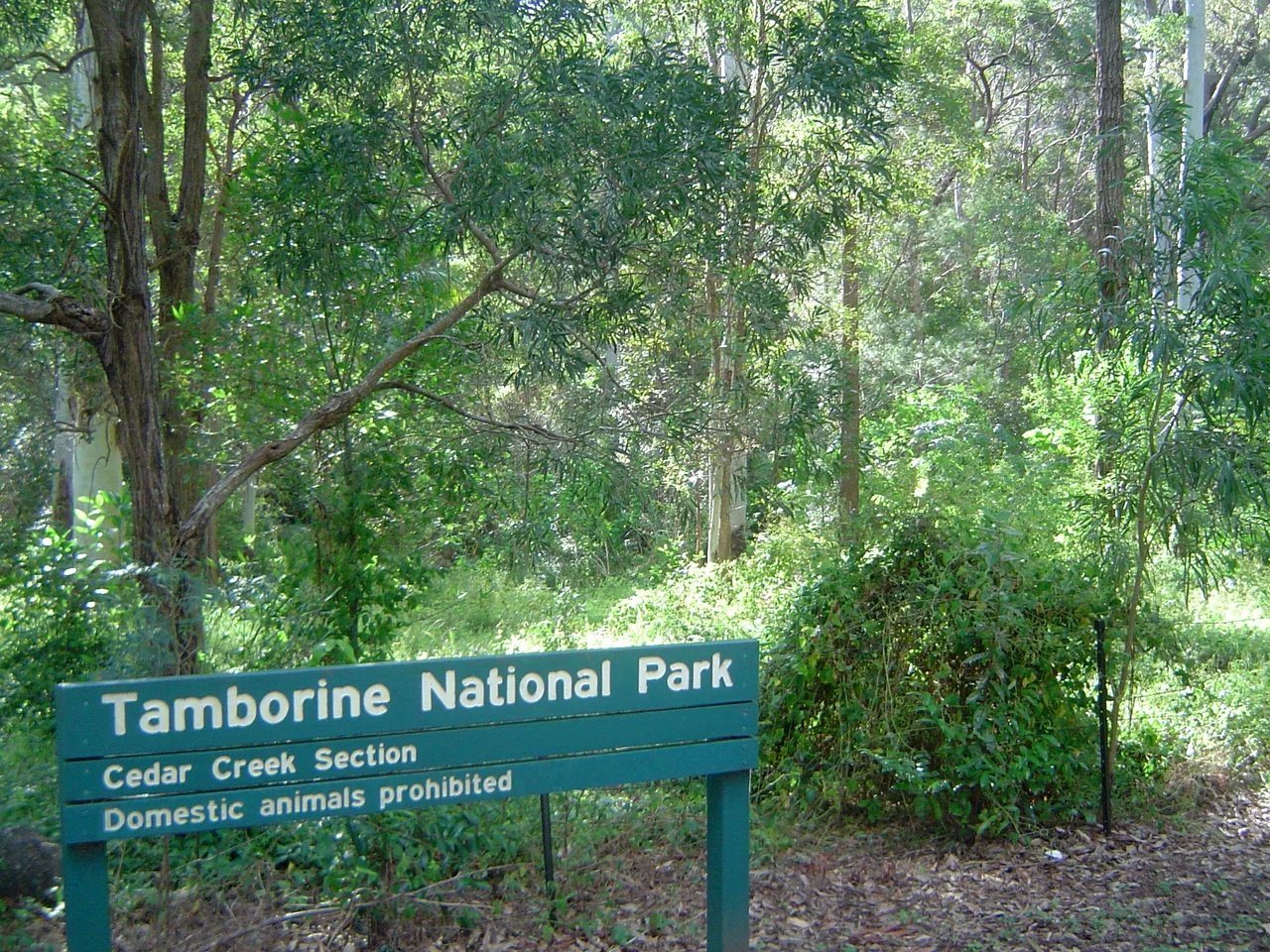

Tamborine National Park
In 1908, before most of the world had decided that wild places were worth keeping, a patch of rainforest on a plateau south of Brisbane was set aside and called a national park - Queensland's very first. The Witches Falls section earned that distinction on 28 March 1908, gazetted under the brand-new State Forests and National Parks Act of 1906. It made Tamborine not just a Queensland landmark but one of the earliest national parks on Earth, a place where the idea of protecting nature for its own sake took early root in Australian soil.
A Mountain Cut Into Fragments
Tamborine National Park is not one forest but fourteen. The protected area is scattered across fourteen separate reserves, threaded between villages and small farms, sprawled over the plateau of Tamborine Mountain and tumbling down its foothills. The tableland runs eight kilometres long and five wide, cresting at 525 metres - high enough to shave the edge off the summer heat, though December to April brings the heaviest rain. Within those reserves lie the named sanctuaries walkers come for: Joalah, The Knoll, Palm Grove, Cedar Creek, MacDonald Park, Niche's Corner and Witches Falls, each laced with tracks to lookouts, gorges, cliffs and falls through rainforest and wet eucalypt woodland.
Born of a Volcano
The plateau itself is the leftover of a cataclysm. Around 20 to 23 million years ago, a vast shield volcano centred on Wollumbin - Mount Warning, to the south - poured out layer upon layer of basalt lava, building a dome that once stood two kilometres high and a hundred kilometres across. When the eruptions ceased, water took over. Streams radiated off the old dome like spokes from a hub, carving valleys ever deeper until they isolated pockets of high ground into 'land islands.' Tamborine Mountain is one of those islands, a surviving cap of volcanic rock. The lava left behind a parting gift: deep, rich red soils that nourish the rainforest still clinging to the heights, a green remnant of forests that once blanketed the whole region.
The Country Beneath the Name
Long before any gazette notice, this was - and remains - the country of the Yugambeh and Jagera language groups, with the Wangerriburra people connected to the eastern reaches of the Scenic Rim. Names like Joalah, meaning place of the lyrebird, carry that older knowledge into the present. The mountain held food, water and meaning for thousands of years before Europeans climbed it for the views. To walk these tracks honestly is to remember that the 'first national park' was never empty wilderness - it was, and is, a homeland, set aside by a colonial government on land that already belonged to others.
An Ark of the Scenic Rim
For so modest a footprint - just 11.6 square kilometres - the park carries an outsized share of life. It provides habitat for 85 percent of all the fauna species and 65 percent of the flora found across the wider Scenic Rim region. In the green half-light beneath the canopy you might hear before you see the superb lyrebird, mimicking every other call in the forest, or glimpse the satin bowerbird tending its blue-strewn stage. Brush-turkeys rake the leaf litter, lorikeets screech overhead, eastern whipbirds crack their whip-like duet, and in the cool creeks the elusive platypus slips beneath the surface like a rumour.
Walking the Water
Water is the park's recurring character. At Cedar Creek, north of North Tamborine, the Cedar Creek Circuit - a 3.2-kilometre loop - follows the creek through cascades, rock pools and stands of hoop pine, where the falls spill gently rather than thunderously into a shaded gully. At Niches Corner, set apart to the north, a similar 3.2-kilometre circuit opens out toward the Gold Coast with expansive views across the lowlands to the sea. Camping is not permitted anywhere in the park; the mountain keeps its nights to itself, leaving visitors to the cottages, guesthouses and small hotels scattered among the surrounding villages.
From the Air
Tamborine National Park crowns the Tamborine Mountain plateau at roughly 27.86 degrees south, 153.18 degrees east, about 67 km by road south of Brisbane and immediately inland of the Gold Coast. From the air the mountain reads as a distinct forested tableland rising above 500 metres, dark green against cleared farmland, with the Gold Coast high-rises and surf line clearly visible to the east. Nearest controlled airport is Gold Coast (Coolangatta), YBCG, about 30 km southeast; Brisbane, YBBN, lies roughly 55 km north, and Archerfield, YBAF, sits to the northwest. Recommended viewing altitude 3,000 to 5,000 feet for the escarpment and waterfalls, terrain permitting. Cloud builds against the plateau on summer afternoons (wet season December to April); mornings are clearest.
Nearby Stories
- Boggo Road Gaol 14 km away
- 1937 Airlines of Australia Stinson crash 21 km away
- Allan Cunningham Monument 28 km away
- 2010-2011 Queensland Floods 37 km away
- Cape Byron 57 km away
- Cape Byron Light 86 km away
- Bald Rock National Park 96 km away
- HMS Porpoise (1799) 626 km away