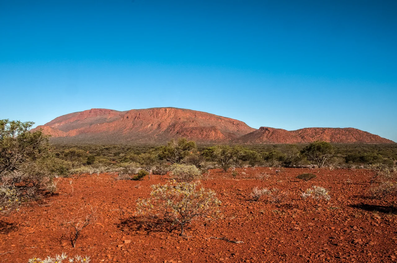

Mount Augustus Station
In 1923, the auctioneers advertised a property the size of a small country: one million acres, four thousand square kilometres of the Gascoyne, stocked with 4,500 cattle and watered by three rivers and five wells. The land wrapped around the base of the largest rock on Earth. Mount Augustus Station had already changed hands and fortunes more than once by then, and it would again - but the headline that drew buyers was always the same. Here was room to run cattle until the horizon ran out, in a country that gave generously in the good years and took it all back in the dry.
Two Brothers and a Frontier
Samuel James Phillips and John Hughes Phillips established the station in 1887, claiming grazing country at the very edge of European settlement in Western Australia. The edge pushed back. The Wajarri people whose land this was did not surrender it quietly, and the early years were marked by conflict that the settlers recorded in fragments and the colonial press dressed up as 'native troubles.' In 1892 the station store was attacked and ransacked, and a worker was speared. Behind those bare lines lies the harder truth of the pastoral frontier: a sacred landscape, the body of Burringurrah at its centre, being fenced and stocked by newcomers who saw only fattening country - and the people of that land resisting an occupation they never agreed to.
The Duffer Rush
In 1893, word raced through the colony that gold had been struck near Mount Augustus. The diggers came fast, as they always did, dreaming of the next Coolgardie. The dream collapsed almost as quickly. The gold proved scattered across one small patch and nowhere else worth the labour, and the field earned the bitterest name a goldfield could carry: a 'duffer.' The prospectors packed up and chased rumour elsewhere, and the country went back to cattle and quiet. It was a pattern the Gascoyne would repeat - a flash of frenzy, a scatter of abandoned camps, and the long red plain absorbing both as if nothing had happened. For the cattlemen who stayed, the brief excitement was a distraction; the real fortune, such as it was, walked on four legs and had to be mustered across a million acres.
Boom, Bust, and Better Rains
The station's ledger reads like a barometer of the outback's moods. By 1909, after a run of generous seasons, the property carried 10,000 head on land in fine condition. Other years brought drought, debt, and the auctioneer's gavel. Ownership passed through the Western Australian Mortgage and Agency Company, through J. Phillips and Company - which also held neighbouring Jimba Jimba Station - and through a string of managers who lived months from the nearest town. Cattle drank from the Lyons, the Frederick, and the Kurabukka rivers, or from wells sunk into the dry. A herd could double in a wet decade and be quartered in a dry one. To hold a lease this size was to gamble, every season, on the sky.
From Cattle to Travellers
The drovers eventually gave ground to tourists. By 2012 the Hammarquist family held the station, and alongside the cattle work they ran the Mount Augustus Tourist Park - fuel, supplies, and a bed for the thousands of travellers who now make the long pilgrimage each year to see Burringurrah rise from the plain. It is a quieter kind of enterprise than the cattle empires the auction notices once promised, but in some ways a truer fit for the place. People come not to take the country's wealth but simply to stand in front of the great rock, to walk its base, and to feel how small a person is beneath a stone that the Wajarri have always known as an ancestor.
From the Air
Mount Augustus Station spreads across the Upper Gascoyne at roughly 24.31 degrees south, 116.91 degrees east, about 145 km southwest of Paraburdoo and 300 km northwest of Meekatharra. From the air, the landmark is the rock itself - Burringurrah's 8 km ridge - with the station's tracks, bores, and homestead scattered across the surrounding red plain and the thin green lines of the Lyons and Frederick rivers threading through. Meekatharra (YMEK) is the nearest sizeable airstrip to the southeast; Paraburdoo (YPBO), serving the iron-ore towns, lies to the north. The country is flat, dry, and sparsely marked, so the great rock is the one reliable visual anchor for hundreds of kilometres. Best flown in the dry winter months for clear air and long shadows.
Nearby Stories
- Burringurrah Aboriginal Community 7 km away
- Paraburdoo Mine 97 km away
- Gascoyne Junction 127 km away
- Kennedy Range National Park 136 km away
- Juukan Gorge 165 km away
- Peak Hill, Western Australia 173 km away
- Mount Tom Price Mine 181 km away
- North West Coastal Highway 225 km away