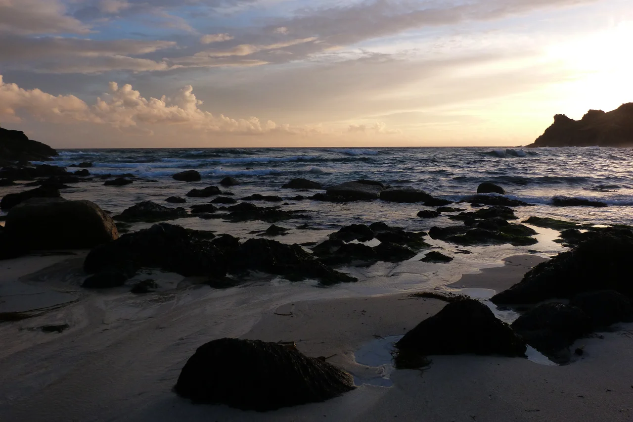

Nanjizal
There is no road to Nanjizal. To reach it you walk, an hour south along the coast path from Land's End or the same again north from Porthgwarra, past gorse and stonecrop and the white quartz boulders that the Cornish call sea milk. You arrive at a small valley that opens to the Atlantic between two granite headlands, and then you see what the path has been hiding: a slot in the southern cliff, taller than it is wide, with the green sea visible through it like a doorway. The Cornish called the place cove of the howling valley. The English, who had to call it something else, settled on Mill Bay.
The Cove of the Howling Valley
The slot is called Zawn Pyg, and it is the reason most people come. Cut by millennia of swell exploiting a weakness in the granite, it now forms an almost perfect rock arch about twenty feet tall. At low tide a sandy floor connects it to the main beach. At high tide the sea pours through it. Photographers call it the Song of the Sea cave, an English approximation of the noise the cove makes in westerly gales. Inside the cove proper are deep rock pools full of beadlet anemones, the kind that look like blobs of red jelly until the tide returns and they unfurl into delicate tentacled flowers. Above the northern headland sits a granite formation called the Diamond Horse, a name that makes more sense the longer you look at it.
The City of Cardiff
In the cove at low tide, half-buried in sand and half-corroded by a century of Atlantic chemistry, sits the skeleton of a collier called the City of Cardiff. On 21 March 1912 she rounded the Lizard in a freshening southerly gale and tried to claw her way around Land's End. By dawn the wind had her beaten and pushing her east. She anchored a mile south of Land's End with engines full ahead, drifting backwards toward the cliffs of Nanjizal. At 11 a.m. a squall struck her broadside and the anchors gave. She struck rocks 150 yards offshore and was driven up onto the beach. The Sennen Life-saving Apparatus Team had followed her along the cliffs all morning. They rigged the rocket line, and the whole ship's company, including two wives and a two-year-old child, were carried to shore one at a time on the breeches buoy. The ship is gone. The frames remain.
Where the Rare Birds Land
Nanjizal lies inside the Porthgwarra to Pordenack Point Site of Special Scientific Interest, designated in 1977 for its granite cliffs and maritime heath. To ornithologists it matters for a different reason. The valley is the last sheltered ground in Britain before the open Atlantic, which makes it a magnet for exhausted migrants blown off course. The West Cornwall Ringing Group runs a constant-effort site here, catching and recording the birds that pass through. The regulars are common enough: chiffchaffs and whitethroats, sedge warblers and dunnocks. The visitors are not. In autumn 2014 the ringers caught an aquatic warbler, a barred warbler, and a paddyfield warbler. On 2 September 2015 they extracted a small brown bird from a net and identified it as a Blyth's reed warbler, a species that breeds in Russia and winters in India, and which had never before been recorded in Cornwall. The valley keeps producing firsts. The birders keep coming.
The TARDIS Landed Here
On 19 June 1966 a film crew descended into the cove with cameras and a police box. They were shooting a four-part Doctor Who serial called The Smugglers, the last adventure for the First Doctor before William Hartnell handed the role to Patrick Troughton. The TARDIS materialised on the sand at Nanjizal, the Doctor and his companions stepped out, and the show committed to film a beach that was, even then, almost impossible to reach by any means except walking. The episodes themselves are mostly lost. The cove is still here. So is the path.
From the Air
Cove at 50.054 N, 5.693 W, about one nautical mile southeast of Land's End cape. From Land's End Airport (EGHC) it lies two miles southwest. Best appreciated from 1,000 to 2,000 feet on a clear day with low afternoon sun, when the Zawn Pyg arch and the green water of the cove become visible against the granite cliffs. The South West Coast Path traces the clifftop and is often photographed from the air. Expect significant clifftop turbulence in any wind above 15 knots and a marked tendency for sea fog to form on the cliffs even when inland is clear.
Nearby Stories
- Mullion Cove 1.3 km away
- Great Wheal Charlotte 3.7 km away
- Castle Down 5.3 km away
- SS Georgia (1890) 30 km away
- Wheal Coates 41 km away
- 1979 Fastnet Race 55 km away
- HMS Affray 126 km away
- Routes of Santiago de Compostela: Camino Frances and Routes of Northern Spain 713 km away