Noordhollandsch Kanaal
On 16 December 1824, between two unfinished bridges in the polders of North Holland, a homecoming ship from Batavia met a navy frigate going the other way. The frigate HNLMS Bellona, forty-four guns, was being hauled inland by twelve horses on a towpath. The merchantman Christina Bernardina was being hauled the other direction. Their crews fired a nine-gun salute and a small band struck up music. Neither vessel was anywhere near salt water. Both were threading the length of a 75-kilometer ditch that had just been dug across the most expensive landscape in the country to solve a problem the Zuiderzee no longer would: how does a port move ocean ships when the ocean has retreated? The Noordhollandsch Kanaal was the answer the Dutch could afford. It took five years to build, cost eleven million guilders, and bought Amsterdam fifty more years as a deep-water port before a better solution arrived.
A Port Going Aground
All through the seventeenth century, the great inland sea called the Zuiderzee had been slowly silting up. Sandbars rose where there had once been twenty feet of water. The shallows off Pampus, in particular, blocked the connection between Amsterdam's IJ and the wider sea. Captains coped with the obstruction in two unsatisfactory ways. Heavy ships could be lifted over the bars in floating wooden cradles called ship camels, an expensive and slow business. Or they could anchor out at the Rede van Texel, sixty kilometers north, and have their cargo transloaded into smaller vessels for the run to the city. Either method added cost, time, and risk. The Dutch East India Company's heaviest East Indiamen sometimes wintered at Nieuwediep, the navy harbor built at the northern tip of the province between 1781 and 1785, rather than try the passage in. Amsterdam was losing ground to harbors that ships could actually reach.
The King's Solution
King William I, who became sovereign in 1815 after the Napoleonic interlude, was not a man for half-measures. If sea-going ships could no longer reach Amsterdam by the Zuiderzee, he would build them a road. The plan approved in 1819 was for a canal connecting Nieuwediep in the north all the way down to the IJ at Amsterdam - threading through Alkmaar and Purmerend, stitching together existing waterways where useful, cutting new channel where not. The original specifications were ambitious: 37.6 meters wide at the surface, 10 meters at the bed, 5.7 meters deep at summer level. That was deep enough to float a fully laden frigate. Five major locks would manage the water levels - the Willem I Lock at the southern end, the Buiksloot Flood Gate, the Purmerend Lock, the Zijpe Lock at 't Zand, and the Koopvaarders Lock at Nieuwediep. The total cost came to eleven million guilders, of which Amsterdam itself contributed a million. Alkmaar put in 230,000. Purmerend chipped in what it could.
Twelve Horses and a Frigate
The opening voyage of December 1824 was a public demonstration that the thing actually worked. The Bellona entered the Willem I Lock at Amsterdam on the 13th, under Captain Roepel, drawing 16 Amsterdam feet. She had been deliberately stripped down to that depth - her guns and rigging would be installed at Nieuwediep, where there was salt water to float her properly. Twelve horses on the towpath did the pulling. She made Buiksloot in twenty-five minutes. The next day she passed Ilpendam at ten in the morning, the Purmerend lock at noon, and reached West-Graftdijk by five in the afternoon, where bad visibility forced her to moor for the night. Strong winds delayed her the day after. By the morning of the 16th she was at Alkmaar and gliding through the city. That afternoon, somewhere between Sint Maarten and Schagen, she met Christina Bernardina coming the other way. It had taken two weeks. Towpaths were still incomplete in places. The whole operation was visibly improvised. But the principle was proven.
Raft Bridges and Other Improvisations
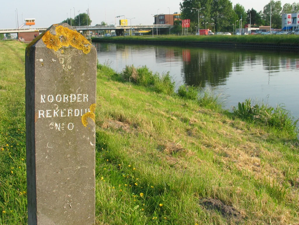
Building a canal deep enough for ocean ships through a populated landscape created one specific headache: how to cross it. Fixed bridges high enough for tall masts were beyond the engineering of the 1820s. The Dutch solution was the vlotbrug, the raft bridge. A floating middle section sat at water level on pontoons. When a tall ship approached, the middle slid sideways underneath the fixed ends, opening the channel. Five of these still operate north of Alkmaar - the Koedijkervlotbrug, Burgervlotbrug, Sint Maartensvlotbrug, Vlotbrug 't Zand, and the Rekervlotbrug. They are now rare enough to be tourist attractions in themselves. The naming of the locks added a second layer of confusion. The hamlet of Zijpersluis already had a lock called the Jacob Claesse lock and was a kind of homonym for the brand-new Zijpe Lock that arrived a few kilometers north when the canal opened. Dutch sources still occasionally tangle the two, two centuries on.
Twenty-One Hours and a Tugboat
Passage times told the canal's whole story. A horse-towed ship needed between 16.5 and 26 hours to make the run from Nieuwediep to Amsterdam in good conditions - longer in winter, when there was no artificial light to keep going through the dark. Big ships pulled by steam tugs could do it in 11 to 20. Small craft, sometimes, in just over nine. By 1860 steam was dominant on the canal, which was both blessing and curse - tugboats damaged the banks and the bends produced collisions. Meanwhile the underlying problem the canal had been built to solve was getting worse, not better. Amsterdam's wet docks took years to finish. Outgoing ship counts at Alkmaar were consistently lower than incoming, suggesting that many captains preferred to risk the silted Zuiderzee on the way out if they could. In January 1852 a commission began studying a westward alternative: a direct cut from Amsterdam through the dunes to the North Sea. When the North Sea Canal opened in 1876, the Noordhollandsch Kanaal's career as a freight artery was effectively over. It remains today as a recreational waterway, a water-management corridor, and a long thin monument to what a country will do when a port is at stake.
From the Air
Coordinates of the central reach near Alkmaar: 52.627 N, 4.759 E. The canal runs roughly north-south for 75 km, from Amsterdam at the IJ in the south to Den Helder at Nieuwediep in the north, passing the eastern edge of Alkmaar. From the air it reads as a remarkably straight dark line across the green of the polders, broken at intervals by the small white pontoons of the surviving raft bridges. Nearest major airport: Amsterdam Schiphol (EHAM), 30-50 km south depending on the section. De Kooy (EHKD) sits at the northern terminus. Best viewed at 2,500-5,000 ft in clear, low-sun conditions when the canal's reflections silver against the surrounding fields.
Nearby Stories
- Koopvaarders Lock 4.9 km away
- Enkhuizen 6 km away
- Blauw-Wit Amsterdam 6.3 km away
- Princess Amalia Wind Farm 6.4 km away
- Hollandse Kust Zuid Offshore Wind Farm 7.2 km away
- The Green Cathedral 7.4 km away
- Tjaskers in Friesland 19 km away
- Action of 22 September 1914 33 km away