Onstwedde
In 875 a scribe at Werden Abbey wrote down the name Uneswido in a property record. The first syllable was a personal name, Une. The second was the old Germanic word for forest - cognate with the English wood. Une's wood. Eleven hundred and fifty years later, the village called Onstwedde still occupies the same low hill the scribe described, and a handful of people in its houses still speak the Westerwold dialect, one of the last places in the Netherlands where it is heard at all.
Hills Made of Ice
On the flat Dutch landscape, anything more than five meters above sea level counts as topography. Onstwedde sits at the base of two such rises: the Onstwedder Holte and a smaller common near Veenhuizen. The Holte tops out around ten meters and supports a 198-hectare communal grazing land - the largest common in Westerwolde. These hills are not bedrock. They are moraines pushed up by glaciers during the Saalian, the penultimate Ice Age, more than 130,000 years ago. The ice retreated and the rest of the region settled into bog and sand, but these two ridges kept their shape. They were dry land in a landscape of swamps, and that is why the first farmers chose this exact spot. The Dr. Hommesbos nature reserve, managed by the Groninger Landschap foundation, still covers part of the Holte's flank, a patch of woodland sitting on top of glacial debris.
Two Pastures and a Border
Onstwedde is what geographers call a double esdorp - a village built around two communal pastures with houses ringing each one. The northern pasture was the Wold, the southern was the Loug. The arrangement told you something important about medieval village life: the cattle stayed in the middle where everyone could keep an eye on them, and the houses formed a protective enclosure. Westerwolde itself was a borderland, a region of raised bogs that separated the province of Groningen from East Frisia and the Prince-Bishopric of Munster. The bogs were not just terrain; they were political. Armies could not march through them and tax collectors could not easily find people who lived past them. Onstwedde, perched on its small dry hill, was both part of Groningen and slightly insulated from whatever was happening in the rest of it.
Salt Beneath the Sand
Onstwedde is one of the few places in the Netherlands where salt domes lie hidden in the subsurface. Salt domes form when ancient seabed salt, lighter than the rock above it, slowly rises in plumes through the bedrock over geological timescales. The Dutch salt industry has tapped some of these formations through solution mining, dissolving the salt with injected water and pumping the brine to the surface. The eastern side of the village reveals another layer of geology entirely: river dunes, copses of ash trees, and the meandering low-lying ground left by the Mussel A and Ruiten Aa streams as they wandered across the centuries. Each landscape feature is a different chapter of deep time, and the village sits on the page where they all meet.
All the Schools Under One Roof
Since 2011, every educational institution in Onstwedde has shared a single building: MFA De Bast, which houses the kindergarten, elementary school, and high school together. It is one of the few villages in the Netherlands where every child goes to school in the same place from preschool through graduation. This consolidation tells the same story being written across rural Europe - declining populations, small institutions merging to survive. In 1840 Onstwedde had 2,405 people. Today the village remains a population center for the area, but the surrounding hamlets are smaller. Until 1969 the municipality itself was called Onstwedde, not Stadskanaal, and the village was the administrative seat. Then the larger industrial town to the southwest absorbed the name.
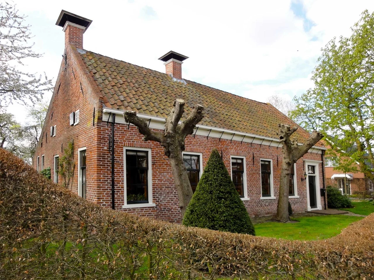
Smeerling, Mostly Unchanged
A few kilometers from Onstwedde lies the hamlet of Smeerling, eight farms in essentially the same arrangement they held in 1830. About 25 people live there in roughly ten houses. The Dutch heritage authority has protected 91.6 hectares of the hamlet and surrounding land. A two-kilometer footpath winds through the farmyards, the small woods, and the meadows. Walk it slowly and the experience is something like time travel - not the reenacted kind, but the genuine kind where buildings simply continued to be lived in, year after year, without being torn down or rebuilt. To the south of Onstwedde lay some of Westerwolde's oldest cultivated fields, the Hoge en Reuve Oerde, which farmers worked centuries before the surrounding bogs were drained for agriculture. The 1936 post mill at Mussel, just east, still stands as one of the standerdmolens that once ground grain for villages on the edge of the bog.
From the Air
Located at 53.0353 N, 7.0411 E in the Westerwolde region of Groningen province, Netherlands, about 4 km northeast of Stadskanaal. The village sits at the base of the Onstwedder Holte, a glacial moraine rising about ten meters above the surrounding polder. Nearest airport is Groningen Airport Eelde (EHGG), about 45 km west. Bremen Airport (EDDW) is about 110 km east. The German border lies about 12 km east. From altitude, the area is recognizable by the patchwork of small woods, canals, and the slight rise of the Holte against an otherwise table-flat landscape.
Nearby Stories
- Dollart 4.3 km away
- St. Walfriduskerk 6.7 km away
- Meppen 7.5 km away
- 2011 CPISRA Football 7-a-side World Championships 7.6 km away
- Friesoythe 8.7 km away
- Hoogeveen 15 km away
- Quakenbrück 16 km away
- Lordship of Gödens 29 km away