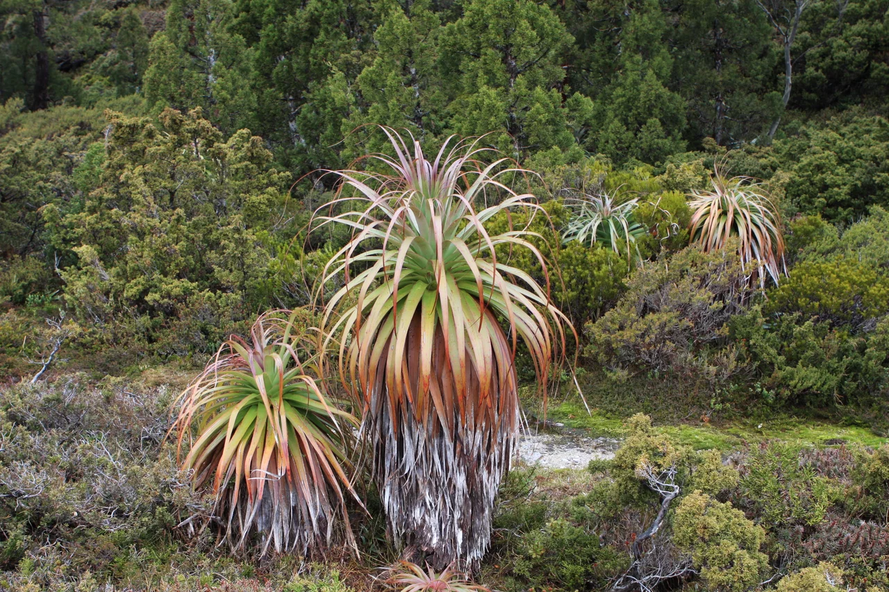

Overland Track
Most people meet this landscape from a road or a lookout. The Overland Track asks you to walk into it and not come out for the better part of a week. For 65 kilometres it runs north to south through the spine of Cradle Mountain-Lake St Clair National Park, from the notched dolerite of Cradle Mountain to the cold deep water of Lake St Clair, and along the way it crosses nearly every kind of country this island has to offer: glacial peaks, temperate rainforest, wild rivers, and open alpine plains. More than nine thousand people walk it every year, numbers capped in the warmer months to keep the wilderness from being loved to death. Lonely Planet ranks it among the great treks of the world, and the people who finish it tend to agree.
Six Days on Foot
The walk is usually done over five or six days, almost always from north to south, a direction now fixed by policy rather than preference. The reason is the weather: Cradle Mountain catches nearly twice the rainfall of Lake St Clair, so starting in the north gets the wettest, most exposed ground behind you early. A chain of public huts maintained by Tasmania Parks and Wildlife lets walkers sleep indoors each night, though carrying a tent is mandatory in case the huts are full or something goes wrong. The track itself is mostly well marked, with long stretches of duckboard, split-log boardwalk wired together over the boggiest ground. Where the boards run out, the famous Tasmanian mud takes over, deep and dark and unavoidable.
Side Trips to the Summits
The official distance undersells the experience, because the best of the Overland Track lies just off it. Walkers willing to drop their packs and climb can scale Cradle Mountain itself, or push up Mount Ossa, at 1,617 metres the highest point in Tasmania, for a summit view across a sea of dolerite ranges. Other detours lead to Barn Bluff, the waterfalls of the Du Cane Range, and a cluster of glacial tarns called The Labyrinth, reached through Pine Valley. Many walkers extend the journey a further day by following the shore of Lake St Clair instead of taking the ferry, stretching the full route to 82 kilometres. The track is challenging but not technical: the real test is endurance, preparation, and a willingness to be wet.
An Older Country
Long before the track was cut, this was a route between peoples. The Overland corridor spans the boundary between the Big River and Northern Tasmanian Aboriginal nations, and stone tools and old campsites between Pelion Plains and Lake St Clair show it was used for thousands of years. The broad buttongrass plains the track crosses may themselves be a human legacy, shaped over millennia by Aboriginal fire-stick burning. That deep presence was violently broken: Tasmania's Aboriginal people were dispossessed and killed after European settlement, and the last free Aboriginal Tasmanians in this country were recorded near Barn Bluff in 1836. Walkers today move through a landscape that was lived in, and grieved over, long before it became a wilderness to visit.
The Mountain's Terms
This is not a walk to underestimate. The weather is unstable in every season: above 35 degrees in summer, below freezing in winter, snow possible on the Cradle Plateau and around Mount Ossa at any time of year, and rain that can turn torrential without notice. In 2014 an international student walking the track died of hypothermia between Kitchen Hut and Waterfall Valley, caught out by a sudden storm without adequate clothing. His death led to tougher preparedness guidelines and multilingual warnings at the trailheads, a sober reminder that this beauty has teeth. For those who come ready, the rewards are immense. There is even a race: the Cradle Mountain Run, held annually since 1980, whose course record of seven hours and twenty-five minutes covers in a morning what most walkers savour over a week.
From the Air
The Overland Track runs roughly 65 km north to south through Cradle Mountain-Lake St Clair National Park, from Cradle Mountain near 41.69 S, 145.95 E to Lake St Clair near 42.1 S, 146.16 E; the track's northern reaches centre around 41.64 S, 145.95 E. From the air, trace the route along the high spine of the park: begin at Cradle Mountain's notched dolerite ridge, pass Barn Bluff and the Pelion plains, cross beneath Mount Ossa (1,617 m, Tasmania's highest), and finish at the long glacial trench of Lake St Clair. Recommended viewing altitude 7,000 to 9,000 ft AGL to clear the alpine peaks. Nearest airfields are Devonport (YDPO) and Wynyard/Burnie (YWYY) to the north, with Launceston (YMLT) northeast and Hobart (YMHB) to the southeast. Weather is extreme and fast-changing, with cloud, high winds, rain, and possible snow in any month; usable clear windows over the highlands are brief.
Nearby Stories
- Mount Bischoff 18 km away
- Beaconsfield Mine Collapse 22 km away
- West Coast Wilderness Railway 36 km away
- Van Diemen's Land 38 km away
- Mount Lyell (Tasmania) 45 km away
- Cataract Gorge 45 km away
- Stanley (Tasmania) 64 km away
- Cape Grim Massacre 136 km away