Palu: The City That Knows the Ground Can Move
The Kaili people have a word for this place: topalu'e, meaning raised land. It was meant as reassurance -- the settlement in the valley was high enough to stay dry when the river flooded. But on September 28, 2018, the ground beneath Palu did something the name never anticipated. A magnitude 7.5 earthquake ruptured the Palu-Koro Fault directly under the city, triggering a tsunami in the narrow bay that reached heights of nearly six meters and causing soil liquefaction on a scale scientists called unprecedented. Entire neighborhoods slid downhill on ground that had turned to liquid. The combined disaster killed over 4,300 people and caused damage estimated at 1.66 billion US dollars in the city alone. Palu's story since then has been one of rebuilding -- not just structures, but the confidence that a city perched on a seismic boundary can plan for a future.
Anatomy of a Compound Disaster
What made the 2018 event so devastating was the convergence of three catastrophes in minutes. The earthquake itself was generated by a strike-slip fault, where tectonic plates slide horizontally past each other rather than one diving beneath the other. Strike-slip earthquakes rarely produce tsunamis, which is part of why the waves caught the city off guard. But the seafloor displacement combined with submarine landslides in Palu Bay to generate waves that scientists described as a rare phenomenon. The bay's shape amplified the destruction: semi-enclosed, funnel-shaped, and dropping steeply to depths of 830 meters, it focused the wave energy directly at the city sitting at its head. Then came the liquefaction. In neighborhoods like Balaroa and Petobo, the shaking transformed saturated soil into a fluid mass, and buildings, roads, and vehicles slid hundreds of meters downhill on what had been solid ground moments before. Indonesia's disaster agency called it the largest liquefaction event ever recorded.
A Kingdom Before a Capital
Long before the earthquake defined its international reputation, Palu was the seat of the Kaili kingdom, which emerged around the fifteenth century by uniting scattered settlements across the valley and along the gulf that bears the city's name. The Kaili people remain the majority ethnic group, their culture rooted in a tradition called sintuvu -- communal cooperation. Islam arrived in the seventeenth century, and the city's religious landscape today reflects both that conversion and the diversity that followed: Christian missionaries established communities beginning in 1888, and immigrants from South Sulawesi, Java, and Bali brought Hindu and Buddhist traditions. The Dutch colonial government formalized Palu as a trading post and administrative center in the late nineteenth century. When Central Sulawesi became a separate province in 1964, Palu was named its capital, a status that some legislators proposed revoking after the earthquake exposed the city's seismic vulnerability.
The Bay and the City
Palu sits at the southern end of Palu Bay, a long, narrow inlet that opens northward into the Makassar Strait. The Palu River flows through the city and empties into the bay, and the valley floor is hemmed by mountains on three sides. The geography concentrates both opportunity and risk. Pantoloan Port, the main container port of Central Sulawesi and the busiest in the province, handles direct exports from Sulawesi's interior, including nickel from Morowali Regency and cocoa beans from plantations across the province -- Central Sulawesi is one of Indonesia's largest cocoa producers. Mutiara SIS Al-Jufrie Airport, named after the Arab-Indonesian religious leader Sayyid Idrus bin Salim Al-Jufri, is one of only two airports in the province capable of handling Boeing 737 aircraft. It served around 1.2 million passengers in 2019. The city's economy was growing at nearly six percent before the earthquake and pandemic compressed its trajectory, though it rebounded to comparable growth by 2021.
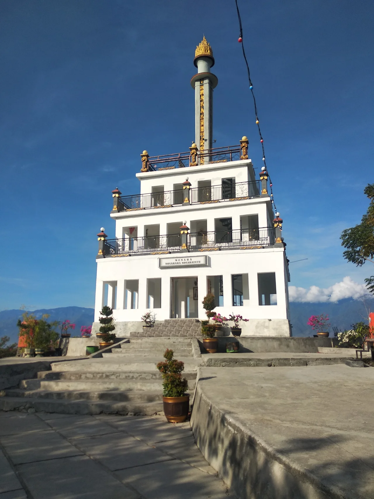
Rebuilding and Remembering
The earthquake left Palu with a dual imperative: reconstruct what was destroyed and memorialize what was lost. The Nusantara Gong of Peace, a 180-kilogram bronze gong two meters in diameter, stands at a site that doubles as a tsunami evacuation point. It bears symbols of five religions and the coats of arms of what were then Indonesia's 33 provinces and 444 regencies, a statement about national unity that acquired new meaning after the disaster. Nearby, the Peace Monument functions as a museum with messages about interfaith harmony and portraits of peace advocates. Tadulako University, the province's main public institution with over 40,000 students, anchors the city's educational identity. Palu's literacy rate exceeds 99 percent. On weekends, car-free days along Moh. Yamin Street and around Vatulemo Square draw residents to a city center that has been substantially rebuilt. The ground beneath Palu will move again -- the Palu-Koro Fault is among the most active in Indonesia. What has changed is the city's awareness that it must build for that certainty.
From the Air
Located at 0.895S, 119.859E at the southern head of Palu Bay, a distinctive narrow inlet visible from altitude extending northward into the Makassar Strait. The city sits in a valley hemmed by mountains on three sides. Mutiara SIS Al-Jufrie Airport (WAFF) is adjacent to the city, with a 2,510-meter runway. Sultan Hasanuddin International Airport at Makassar (WAAA) is the nearest major international hub. Lore Lindu National Park's mountainous terrain lies to the south and southeast. The funnel shape of Palu Bay is clearly visible from cruising altitude and is a key geographic feature of the area.
Nearby Stories
- Cutting the Orchid in Half: The Proposed Sulawesi Canal 69 km away
- The Entertainers of Bada Valley 72 km away
- The Spirit Boats of Pokekea 76 km away
- Central Sulawesi: Where the Earth Remembers 85 km away
- The Invisible Wall of Makassar Strait 114 km away
- Mount Colo: The Volcano That Saved an Island 164 km away
- The Ground Beneath Mamuju 199 km away
- Badak LNG: Borneo's Gas Giant 211 km away