
Paroo-Darling National Park
Most years, Peery Lake is not a lake at all. It is a cracked clay floor, baked pale under a sky that takes back far more water than it ever delivers. Then, somewhere far to the north, rain falls on the Paroo, and a slow brown flood begins to feel its way south across the flat. When it finally reaches Peery, the lake fills - five thousand hectares of it - and holds water for years. Birds arrive in their tens of thousands, seemingly from nowhere. And when the water draws back down again, it reveals something almost nowhere else on Earth offers up: mounds rising from the lakebed, built grain by grain over millennia by water pushing up from deep underground.
The River That Was Never Tamed
The Paroo is the last unregulated river in the entire Murray-Darling Basin - no dams, no weirs, no engineered certainty. It flows when it flows, on its own terms, and most of the time it does not flow at all. This wildness is the whole point. The wetlands here, the Peery and Poloko lakes and the floodplains around them, are shaped by feast and famine: long dry spells punctuated by floods that may not come for years. The plants and animals are adapted to exactly this unpredictability. Where the Paroo finally meets the Darling - the Baaka - the park protects a stretch of country that engineers elsewhere long ago smoothed into reliability. Here, reliability was never on offer, and that is why it still teems with life.
Springs in the Lakebed
Beneath this dry country lies the Great Artesian Basin, an ocean of ancient water trapped in rock. In a few rare places that water finds a crack and pushes to the surface, and as it evaporates it leaves behind salts and sediment that pile slowly into mounds. These are artesian mound springs, and they are reckoned the rarest landform in Australia. Almost all of those in western New South Wales have died, their flow lost as the basin's pressure dropped. But at Peery they survive - the largest active mound spring complex in the state, and the only springs in NSW found on a lakebed. The salt pipewort, one of the rarest plants in the state, grows here and almost nowhere else, clinging to this one improbable source of permanent water in a land of drought.
A Country Held for Many Thousands of Years
Long before pastoralists carved the land into the runs of Peery, Mandalay and Arrowbar, this was - and remains - Paakantyi country, the people of the river also known as Barkandji. Their connection here is not a relic but a continuity, written into the land in hearth sites, scatters of stone tools, and trees still scarred where bark was carefully taken. The mound springs at Peery were a secure and lasting source of fresh water, and they live in the stories of this place. That knowledge has not been set aside. The park is managed in partnership with the Paroo-Darling National Park Elders Council, and the controlled burns carried out here are deliberately patterned after the way Aboriginal people tended this country for generations - caring for it as people whose relationship with the land is ongoing, not ended.
When the Birds Come
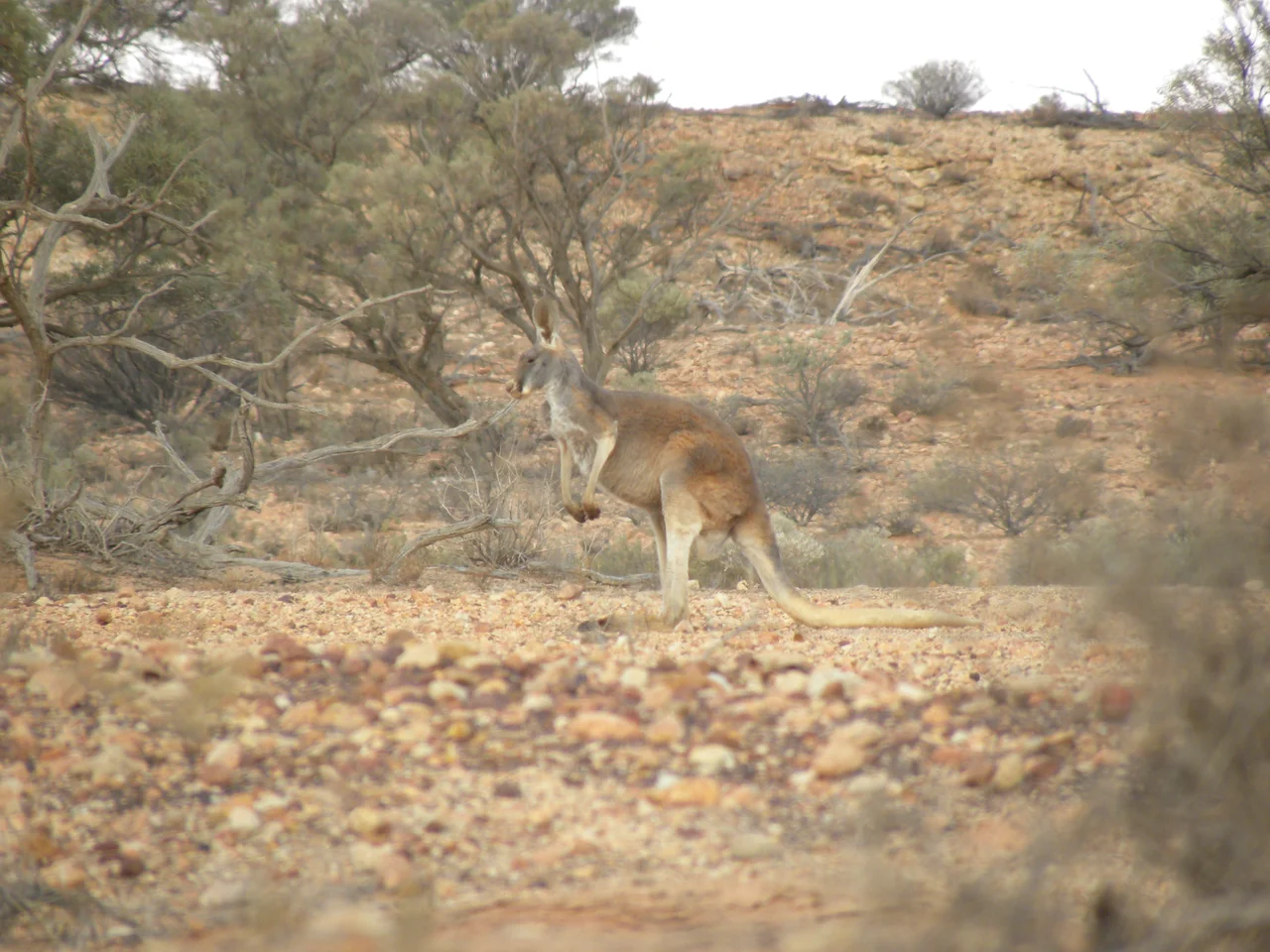
Most of the park falls within an internationally recognised bird area, and in the right conditions the reason becomes overwhelming. When the lakes fill, waterbirds gather in numbers that defy the surrounding emptiness, breeding and feeding while the water lasts. Across the wider landscape of grey cracking clays and red sand hills, red kangaroos and three kinds of grey-toned macropods move through the mulga; 424 plant species have been recorded across the park's gorges, dune fields and lake basins. It is a place of extremes - extremes of heat, of drought, of sudden abundance. Reached only by dry-weather roads from White Cliffs or Wilcannia, it asks patience and rewards timing. Come in a wet year and you will not believe the desert can hold so much life. Come in a dry one and you will understand why every drop of that artesian water matters.
From the Air
Paroo-Darling National Park lies at approximately 31.52 degrees south, 143.90 degrees east, in far-western NSW - about 30 km east of White Cliffs and 80 km north of Wilcannia. The park spans two sections: the northern Paroo overflow lakes (Peery and Poloko) and a southern reach near the Paroo-Darling confluence. From the air the standout feature is Peery Lake - a broad pale lakebed when dry, a shimmering 5,000-hectare sheet when flooded - set against grey claypans, red dunes, and the low rugged escarpments of the Peery Hills. Vegetation reads as olive-grey mulga over reddish ground. There are no large airfields immediately adjacent; Wilcannia has a small airstrip to the south, and Broken Hill Airport (YBHI) is the nearest major facility, well to the southwest. Recommended viewing altitude is 3,000-6,000 ft. Visibility is usually superb in this dry climate, but the lake's appearance changes completely with the flood cycle, and summer afternoons can raise dust and heat haze across the plains.
Nearby Stories
- Wilcannia Athenaeum 5.6 km away
- White Cliffs, New South Wales 59 km away
- Mount Grenfell 82 km away
- Louth, New South Wales 106 km away
- Menindee, New South Wales 115 km away
- Ivanhoe 124 km away
- Mutawintji National Park 151 km away
- Nymagee 152 km away