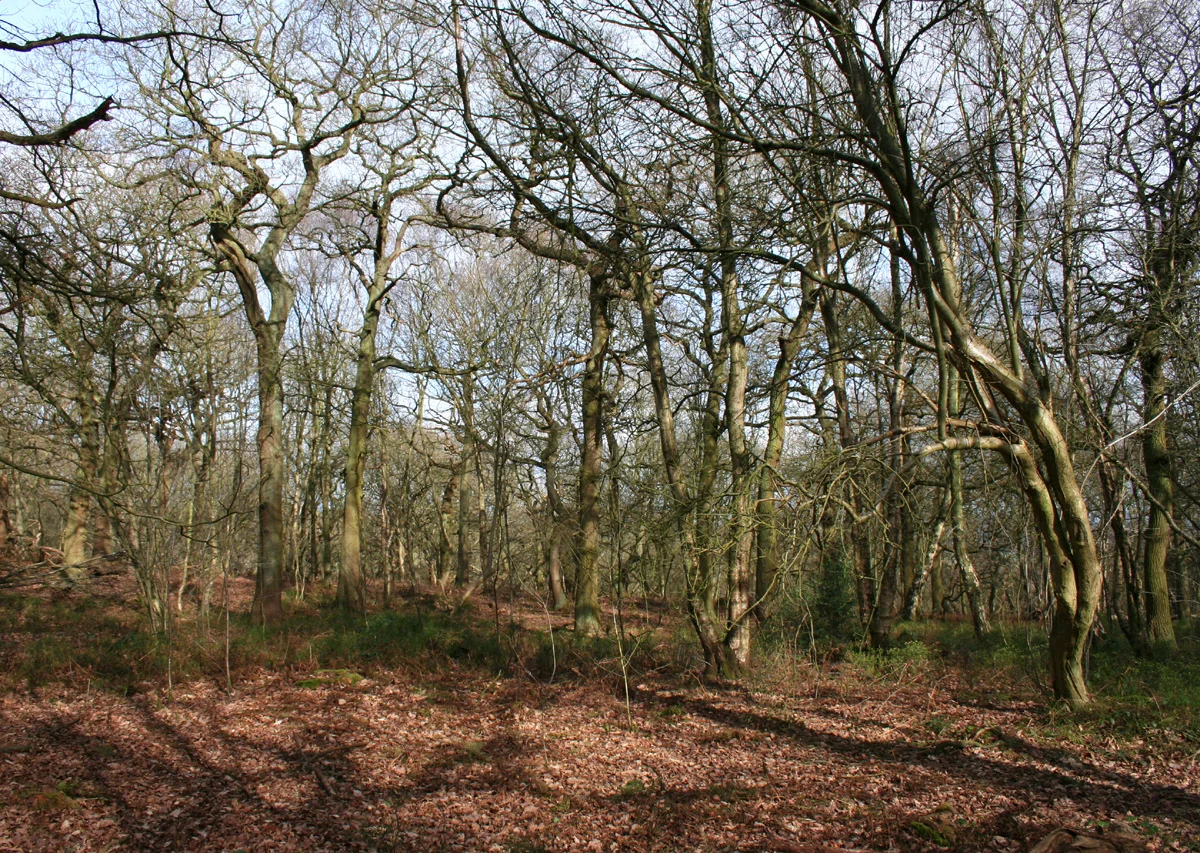

Peckforton Hills
Every Ascension Day, the parishioners of St Boniface in Bunbury walk up to the 200-metre summit of Stanner Nab for an evening service that ends as the sun sets across the Cheshire Plain. The hill they climb is older than almost anything else they know - around 250 million years of Triassic sandstone, laid down when this part of England was a desert near the centre of the supercontinent Pangaea. The Peckforton Hills are a narrow ridge running broadly north-east to south-west across western Cheshire, part of the longer Mid Cheshire Ridge that extends from Frodsham in the north down past Malpas. They look small from the motorway, but they hold the headwaters of two rivers, the foundations of two castles, and a microclimate of ancient woodland that survives nowhere else in the county.
A Desert Frozen in Sandstone
The oldest rock here belongs to the Wilmslow Sandstone Formation, around 250 million years old, deposited as dune sands and river sediments in the arid heart of Pangaea. Above it sits the slightly younger Helsby Sandstone Formation, about 245 million years old, which forms most of the surface rock you walk on along the ridge. Both belong to the New Red Sandstone, the great Permian-Triassic sequence that runs across much of central and northern England. The strata are nearly horizontal, tilting east by only a few degrees, which is why the ridge has the long, gently profiled silhouette that locals know. The most recent geological event to shape these hills was the passage of the Irish Sea Icesheet southward through Cheshire during the last ice age. Glacial meltwater channels cut into the western flank of the ridge, including the dramatic notch of Peckforton Gap, and left the surrounding plain littered with the drift and till that the modern Cheshire dairy farms work today.
Two Castles, Two Centuries Apart
Walk the ridge from north to south and you pass two castles within sight of each other. Beeston Castle, technically on an outlier of the range, sits as a genuine medieval ruin on its own steep crag, founded in 1226 by Ranulf de Blondeville, sixth Earl of Chester, and slighted by parliamentary forces after the English Civil War. A short distance south, on the wooded northern end of the Peckforton ridge, stands Peckforton Castle, a Victorian mansion built in the 1840s for John Tollemache and dressed in convincing medieval costume. The two structures, real and theatrical, are constantly mistaken for each other in tourist photographs - which is probably what their builders, eight centuries apart, would have considered a successful outcome. From either summit you can usually see the other, and on the clearest days the view stretches west to Liverpool and the Welsh mountains, and north to Jodrell Bank's radio telescope.
The Hills' Quiet Inhabitants
Peckforton Woods covers 57.88 hectares of the ridge and is protected as a Site of Special Scientific Interest. Bulkeley Hill, at the southern end of the ridge at 224 metres, is owned by the National Trust, and its wooded slopes hold about twelve acres of semi-natural ancient woodland - rare in lowland Cheshire, which was largely cleared for agriculture centuries ago. The grassland habitats on Peckforton and Bulkeley Hills have been designated county sites of biological importance for their flora. Both hills also feed the wider hydrology of the region: the Peckforton ridge is the source of both the River Weaver, which flows north toward the Mersey, and the River Gowy, which curves through the Cheshire Plain into the Mersey estuary further west. The 1922 afforestation scheme begun by the Tollemache family added conifer plantation to the older oak and beech, giving the modern ridge its mixed character of dark coniferous canopy interrupted by older deciduous stands.
Walking the Spine
The Sandstone Trail, the long-distance footpath that links Frodsham to Whitchurch over 55 kilometres, runs along the spine of the Peckforton ridge. From its high points - Raw Head at 227 metres, Peckforton Point at 203 metres, Stanner Nab at 200 metres - the walker looks down over a patchwork of dairy farms, hedgerow oaks, and the slow curves of the River Weaver to the east. The Bunbury parishioners' Ascension Day climb is a small annual ceremony, but it captures something about the way the local community uses these hills. The ridge is everyday country for the villages around it - Burwardsley to the west, Beeston to the north, Peckforton and Bunbury to the east, Bulkeley to the south - and at the same time a small dramatic geography in a county otherwise defined by flat farmland. Two hundred metres above the Cheshire Plain is not much elevation, but when the sun goes down behind Wales and the lights of Crewe start coming on to the east, two hundred metres is enough.
From the Air
The Peckforton Hills run roughly north-east to south-west between approximately 53.13 N and 53.07 N, centred near 2.70 W. The ridge is best seen from 2,500-4,000 feet, where its narrow profile rises distinctly above the Cheshire Plain. Peckforton Castle is at the northern end; Beeston Castle ruins crown the next hilltop slightly north of that. The high points - Raw Head (227 m), Bulkeley Hill (224 m), Peckforton Point (203 m), Stanner Nab (200 m) - give clear visual landmarks. Nearest major airport: Manchester (EGCC), 30 miles east. Hawarden (EGNR), 14 miles west; Liverpool John Lennon (EGGP), 22 miles north.
Nearby Stories
- Battle of Winwick 2.1 km away
- Astley Deep Pit Disaster 3.8 km away
- Moel Famau 6.5 km away
- Sandon Hall 6.7 km away
- RAF Tern Hill 8.2 km away
- Brindley Water Mill 8.7 km away
- Battle of Maes Moydog 31 km away
- Piel Castle 70 km away