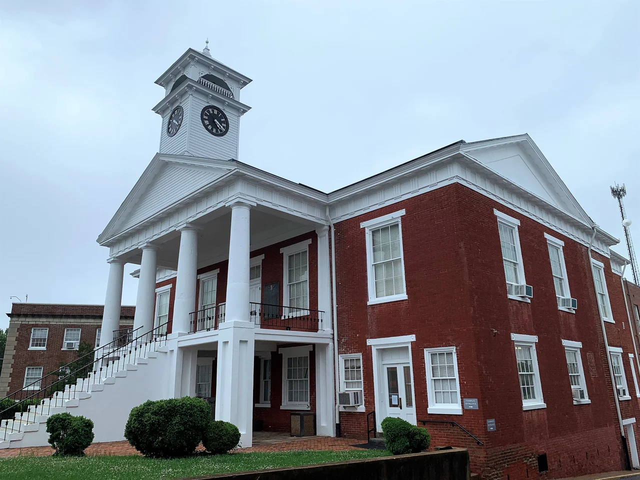

Pittsylvania County, Virginia
In 1767, a Virginia colonial legislature carved a new county out of Halifax County's western edge and gave it the unlikely name Pittsylvania — Sylvania for the woods, Pitt for William Pitt, 1st Earl of Chatham, the British Prime Minister who had spent his career arguing against the harshest colonial policies. The British colonies named places after Pitt regularly in those years. They were grateful for his Stamp Act opposition. Within a decade of Pittsylvania's founding, those same colonies would be at war with Britain, and Pittsylvania's western half would be split off in 1777 to form Henry County, named for Patrick Henry, the orator whose voice helped start the revolution that the original Pittsylvania's namesake had tried to prevent.
Virginia's Biggest County
Pittsylvania covers 978 square miles — 969 of land and 9 of water — making it the largest county in Virginia by land area and the second-largest by total area. The county wraps around the independent city of Danville on three sides; Danville sits at its southern border with North Carolina, otherwise surrounded by Pittsylvania. The Roanoke River, here called the Staunton, defines the northern boundary, separating Pittsylvania from Bedford County across Smith Mountain Lake. The Banister River runs through the middle. The Dan River drains the south. The county seat is Chatham, named like the county itself for William Pitt. The 2020 census counted 60,501 residents — a county roughly three-quarters white and one-fifth African American, with a median age over 47 and a quarter of households consisting of someone living alone.
Tobacco and the Plantation Economy
Pittsylvania's early colonial history is the history of an economy that struggled to build towns. Historian Maud Clement, writing in her History of Pittsylvania County, observed that the early settlers had intended to found towns and largely failed to do so. The land was sparsely commercial, and the plantation settlements along the rivers — particularly at ferry crossings — already provided whatever marketing and purchasing services the region needed. The largest of these informal centers belonged to Sam Pannill, a Scots-Irishman who set up a plantation town at Green Hill on the north side of the Staunton River in Campbell County in the late 18th century. The economy was tobacco-dominated and depended on a growing population of enslaved people who did the cultivation, processing, and transport. Pittsylvania was, in Clement's words, a county without towns or a commercial center until Danville emerged. The relationship between the planters of Pittsylvania and the merchants of Danville defined both places through the antebellum period.
The Uranium Under Coles Hill
Buried beneath a corner of Pittsylvania County, near the unincorporated community of Coles Hill, is the largest undeveloped uranium deposit in the United States — the seventh largest in the world. Estimates of the resource have suggested values in the billions of dollars. Virginia has maintained a moratorium on uranium mining since 1982, and successive owners of the Coles Hill site have lobbied to lift it. The community has divided. Supporters cite jobs and revenue. Opponents cite the Dan River watershed, the Roanoke Rapids reservoir downstream that supplies drinking water to a substantial population, and the long memory of mining disasters elsewhere. The moratorium has held. The uranium remains in the ground.
Politics, Place Names, and the Long Quiet
Pittsylvania has been a Republican stronghold since the 1960s. The last Democratic presidential candidate to carry the county was John F. Kennedy in 1960, although the third-party segregationist George Wallace won it in 1968. The county is divided into seven districts — Banister, Callands-Gretna, Chatham-Blairs, Dan River, Staunton River, Tunstall, Westover — and a sprawling list of unincorporated communities with names that read like a frontier gazetteer: Tightsqueeze, Mount Cross, Climax, Java, Whitfield, Worlds, Pickaway, Sutherlin. The three incorporated towns are Chatham, Gretna, and Hurt. The county's three census-designated places are Blairs, Motley, and Mount Hermon. From the air, what dominates is space — the longest stretch of unbroken Virginia farmland and pine forest you will find east of the Blue Ridge.
From the Air
Pittsylvania County spans roughly 36.82°N, 79.40°W centered on Chatham, with the Dan River running along the southern edge and the Staunton River branch of the Roanoke along the north. Primary airport: Danville Regional (KDAN) at the county's southern boundary. U.S. 29 runs north-south through the county and is the most prominent linear feature from the air at cruise altitudes of 4,000-8,000 ft AGL.
Nearby Stories
- Virginia International Raceway 6.5 km away
- Staunton River State Park 16 km away
- Virginia Museum of Natural History 16 km away
- Explore Park 17 km away
- Poplar Forest 29 km away
- Granville County, North Carolina 30 km away
- Appomattox-Buckingham State Forest 34 km away
- Hanging Rock State Park 45 km away