Port of Kaohsiung
The Dutch East India Company arrived at a lagoon called Takao in the 1620s and saw potential. Four centuries later, the Port of Kaohsiung handles approximately 10.26 million twenty-foot equivalent units of cargo annually, making it the largest harbor in Taiwan and one of the busiest container ports in the world. The transformation was neither smooth nor inevitable. Between the Dutch traders and the modern container cranes, the lagoon passed through the hands of Koxinga's maritime kingdom, the Qing Empire, the Japanese colonial government, and the Republic of China -- each regime dredging deeper, building higher, and pushing the harbor's capacity further. What began as sheltered water for fishing boats is now a link in the Maritime Silk Road stretching from China's coast to Trieste.
A Lagoon Opens to the World
In the 16th century, villages dotted the seashore of what would become Kaohsiung, and the locals called their home Takao. The Dutch developed the natural lagoon as a trading post during their colonial era. The port evolved slowly through the Kingdom of Tungning under Koxinga and the early Qing dynasty, remaining a regional harbor rather than an international one. That changed in 1858, when the Qing dynasty lost the Second Opium War and signed the Treaties of Tianjin, which required opening five Taiwanese ports to foreign trade. Takao Port officially opened to Western traders in 1864, and for the first time, the lagoon's geography was put to work connecting Taiwan to global commerce. When the Qing ceded Taiwan to Japan in 1895 after the First Sino-Japanese War, the port entered a new phase of development -- one measured in concrete, steel, and imperial ambition.
Japanese Engineering and Wartime Destruction
The Japanese colonial government saw Kaohsiung's harbor as a strategic asset and set about transforming it into a modern port through three construction phases. The first phase was completed in 1908, establishing the basic harbor infrastructure. The second followed in 1912. The third phase was never finished -- it was halted when World War II consumed the region's resources and attention. During the war, the port's strategic importance made it a target. Allied bombing campaigns struck the harbor repeatedly, damaging the infrastructure that the Japanese had spent decades building. The port that emerged from the war was battered but structurally sound enough to serve as the foundation for everything that followed. In 1908, the Japanese had also constructed Kaohsiung Harbor at the mouth of the Love River, replacing the mangrove forests that once lined the estuary with the industrial waterfront that persists today.
Postwar Expansion and the Second Port
After the war, Taiwan's new government restarted development. The most dramatic expansion came in 1975 with the construction of the "second port," achieved by breaking the land bridge between the districts of Siaogang and Cijin. This literal reshaping of the coastline doubled the harbor's capacity and created the two-entrance port visible today. The expansion displaced a significant residential community near the southern entrance; a museum now stands on the site, documenting the history and displacement of those families. By 2017, Taiwan International Ports Corporation had completed further expansions, adding a mobile passenger bridge for cruise ships capable of adjusting to different hatch heights up to eight meters. An estimated 127,000 cruise passengers visited that year. The ferry terminal expanded too, with the Budai-Penghu route alone carrying over 530,000 passengers during the 2017 tourist season.
The View from Altitude
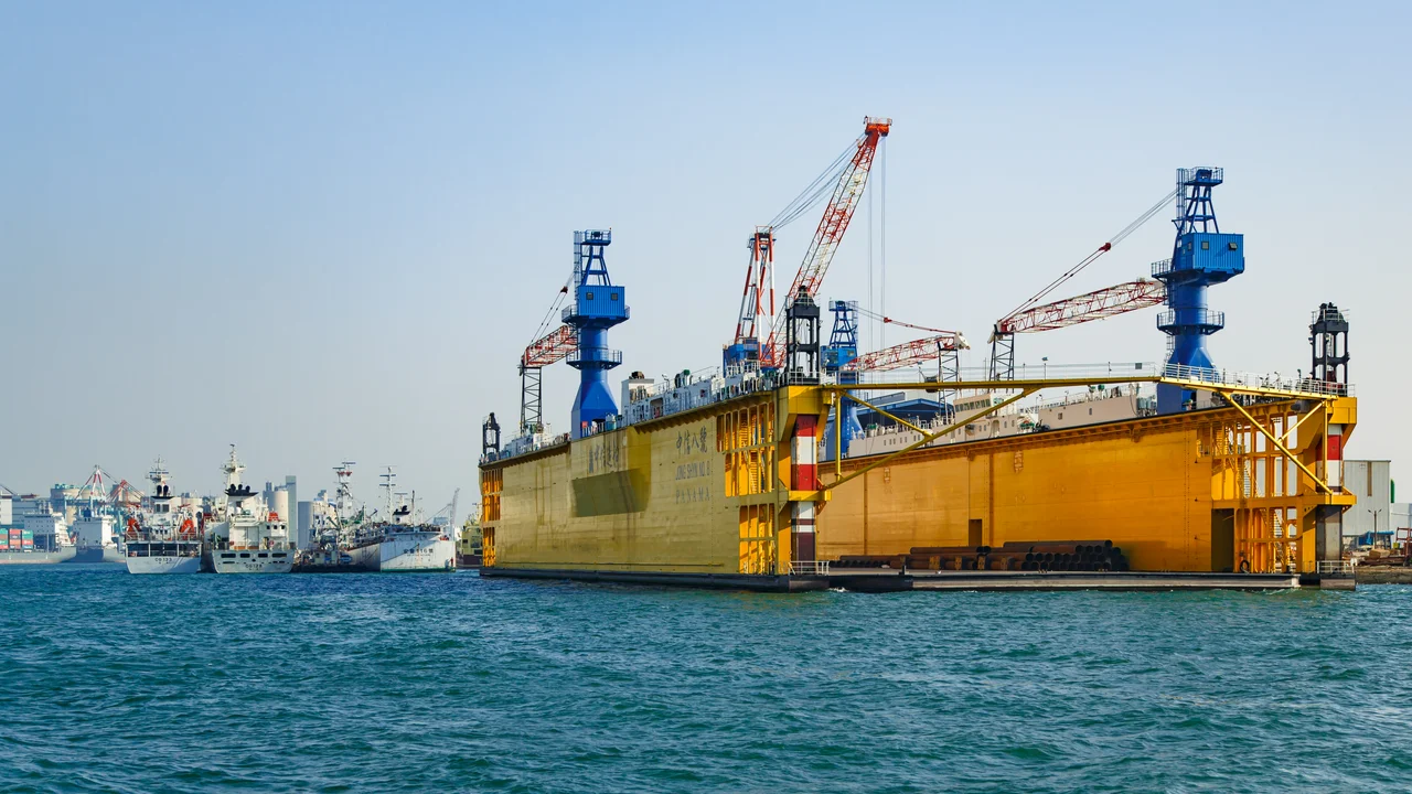
From the air, the Port of Kaohsiung is an unmistakable landscape of geometry and scale. Container yards spread in colored grids across reclaimed land. Gantry cranes line the berths like mechanical sentries. The two harbor entrances -- the original first port between Gushan and Cijin, and the second port to the south -- frame a body of water surrounded by six city districts. A naval base occupies a section of the waterfront, a reminder that Kaohsiung's harbor has always served military as well as commercial purposes. The Cijin Island barrier beach, once connected to the mainland by the land bridge severed in 1975, now shelters the harbor from the open Taiwan Strait. Container ships, bulk carriers, and cruise liners share the approaches. It is a port that has been continuously reinvented for four hundred years, and from above, every era of that reinvention is visible at once.
From the Air
Located at 22.613N, 120.279E. The port dominates Kaohsiung's western waterfront with two distinct harbor entrances. Container yards, gantry cranes, and the Cijin Island barrier beach are prominent features. Nearby airports: RCKH (Kaohsiung International Airport, 5 km south). Best viewed at 3,000-6,000 ft AGL. The harbor's two entrances -- first port (north, between Gushan and Cijin) and second port (south) -- are clearly distinguishable.
Nearby Stories
- Taimali 7.2 km away
- Meinong East Gate Tower 15 km away
- Kunci Temple 20 km away
- Checheng Fu'an Temple 42 km away
- Dongji Island 49 km away
- Orchid Island 69 km away
- South Penghu Marine National Park 77 km away
- Hong Kong 12 549 km away