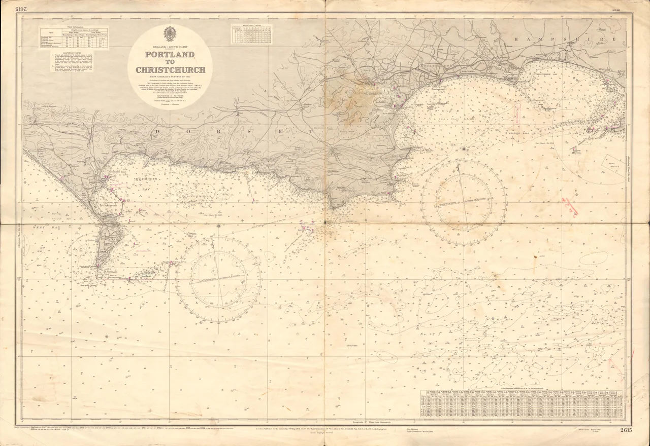

Portland Bill
Watch the Portland tidal race from the cliffs at the Bill and the sea appears to fight itself. On the flood, water funnels around the southern tip of Portland and meets the open Channel coming the other way, and the resulting churn rises in standing waves that have flipped fishing boats within sight of land. The Shambles - a long, shallow sandbank a few miles offshore - finishes the job for any vessel the race has already damaged. Three lighthouses are visible from this headland. The earliest one started warning ships in 1716. They were all built for the same reason: the Bill is, and has always been, one of the more reliable killers of ships on the English Channel.
The Petition Trinity House Resisted
Sailors had been asking for lights at Portland Bill since the late seventeenth century, and the corporation of Trinity House - the body responsible for English lighthouses - had been refusing them. The argument was a peculiar one: Trinity House feared that visible lights would tempt navigators to cut close to the headland and gamble on the race. They preferred a tradition of unmarked danger, which simply taught ships to stay well offshore. The pressure of repeated wrecks eventually overwhelmed the position. George I granted the patent on 26 May 1716, authorising two stone light-houses upon Portland, in the County of Dorset, distant about two-thirds of a mile from the Bill. The Old Higher Lighthouse went up on Branscombe Hill; the Old Lower stood on a smaller ledge nearer the cliff. Together they gave mariners a leading-line that kept them safely east of the Shambles.
Lenses, Optics, Obelisks
In 1789 the Lower Lighthouse was demolished and rebuilt, and Trinity House used the occasion to test something experimental: glass lenses set into the lantern windows by an inventor named Thomas Rogers, the world's first practical application of dioptric optics in a working lighthouse. The lenses came back out within a few years, but the principle they proved would later become universal. In 1824 both Portland lights were upgraded again. In 1844 Trinity House added a tall stone obelisk at the very southern tip of the Bill as a daymark - a navigational pillar visible by daylight without any flame. The first lightship was anchored over the Shambles sandbank in 1859. In 1869 both lighthouses were rebuilt yet again, each fitted with a first-order fixed optic designed by the engineer James Chance, whose company would supply the world's lighthouse optics for the next century.
Three Lighthouses, One Headland
By the turn of the twentieth century, Trinity House was ready to replace both old lights with a single, more powerful tower built directly at the Bill's tip. The new lighthouse was completed in 1905 and the two earlier ones were decommissioned. The Old Lower became a bird observatory in 1961. The Old Higher had a more curious fate: from 1923 to 1958 it was owned by Marie Stopes, the pioneering and intensely controversial advocate of birth control, who used the building as a writing retreat. Today it operates as a holiday let. The current Portland Bill Lighthouse was finally automated in 1996, with all monitoring transferred to Trinity House's centre in Harwich. The Shambles lightship was withdrawn in 1976 and replaced by automatic buoys.
Pulpit, Crane, Coastguard
The Bill is more than its lighthouses. Pulpit Rock - a detached limestone stack carved deliberately by quarrymen to leave a single tilted pillar - juts up at the very tip, a famous photograph that has appeared on more Dorset postcards than perhaps any other view. The Trinity House Obelisk still stands as a daymark. Red Crane, mounted on the cliff edge near the Pulpit, was once a fishing crane used to launch small boats; the disused stone-loading quay it sits on is a scheduled monument. The National Coastwatch Institution rebuilt the old 1934 coastguard lookout in the early 2000s after the official station closed in the 1990s, and volunteers now keep watch on the same patch of water. A small huddle of beach huts, the Pulpit Inn, and the Lobster Pot restaurant make up the modest settlement that has grown around the lighthouse complex.
Strip Fields and Tidal Races
Walk inland from the Bill toward the village of Southwell and the landscape begins to read older. The surrounding fields are arranged in an ancient strip system that dates from Anglo-Saxon times, once found all over Portland and now mostly visible only here - long narrow plots running parallel to each other, the medieval allocation of land still legible in the modern hedgerows. The Ministry of Defence Magnetic Range, built in the 1960s, sits closer to the Bill, where the magnetic signatures of naval vessels can be measured against the open sea. Farther up the hill at Branscombe, a Royal Navy wireless telegraphy station listened to the Channel from the early twentieth century until the 1990s. The whole headland is a working palimpsest of military, agricultural and maritime infrastructure, all of it shaped by the simple fact that this is where Dorset runs out and the Channel begins.
From the Air
50.5144°N, 2.4572°W at the southern tip of the Isle of Portland - the southernmost point of Dorset. The current Portland Bill Lighthouse (1905) is unmistakable: a red-banded white tower at the tip. The two Old Lighthouses (Higher and Lower) sit slightly inland to the north. Nearest aviation reference is Bournemouth (EGHH) about 32 nm east. Best viewed at 1,500-2,500 ft AGL on a clear day; the headland, Pulpit Rock, and the Trinity House Obelisk all read distinctly from the air. Avoid low-level work seaward of the Bill in flood tides - the Shambles bank and the tidal race generate visible standing waves.
Nearby Stories
- Needles Lighthouse 18 km away
- Lyme Bay Canoeing Disaster 19 km away
- HMS Formidable (1898) 19 km away
- National Motor Museum, Beaulieu 22 km away
- Sherborne Castle 22 km away
- Muchelney Abbey 24 km away
- German Submarine U-672 29 km away
- Battle of Cherbourg (1864) 58 km away