R12 (cemetery)
In Grave 60 at R12, excavators found a body wearing a headband made of ostrich eggshell beads. In Grave 38, thirteen bead blanks of agate and quartz, polished into cylinders, were tucked inside a single shell. In Grave 92, a bead-belt. These were not the gifts of kings. R12 predates any Egyptian dynasty by two thousand years. The people buried here were middle Neolithic pastoralists on the Seleim paleochannel of the Nile, and when they laid a child or an elder into the sand around 5000 BCE, they placed tiny, careful things next to them - things made by the same hands that dug the graves.
A Cemetery in Three Seasons
R12 lies in the Northern Dongola Reach of Sudan, on the banks of what was once a live channel of the Nile - now a dry paleochannel known as the Seleim. The cemetery was excavated in three field seasons. Thirty-three graves came up in 2000. Another thirty-three in 2001. Then a final hundred in 2003. The radiocarbon dates cluster between 5000 and 4000 BCE, making R12 one of the earliest substantial cemeteries anywhere in the Nile valley. The pottery is distinctive - composite contour bowls with carinated profiles, upper bodies flowing straight-to-concave, and in the earliest layers, complex decoration made from thousands of dot impressions. Some bowls are so small, with rims so carefully scalloped, that they were only found in the graves of children.
Beads and Hands
Archaeology is most moving when it reaches the things people made for each other. The beads at R12 were mostly made on-site, by the same community using the cemetery. Ochre beads show the most standardized production - careful, repeatable, specialist work. Amazonite beads, blue-green and rare, were shaped into teardrops. Agate and quartz beads started as flakes, were reduced to cylinders, then polished and drilled. One grave contained a finished belt. Another had a headband. Some children were buried with mace-heads - which might, archaeologists speculate, have signaled family rank, inherited status, even before the concept of a kingdom existed here. Three categories of wealth emerge from the grave goods: people with no objects, people with some, people with many. That pattern, distributed fairly equally between men and women, suggests a society with emerging hierarchy but not rigid inequality - differences of rank that did not map onto gender.
A Green Sahara
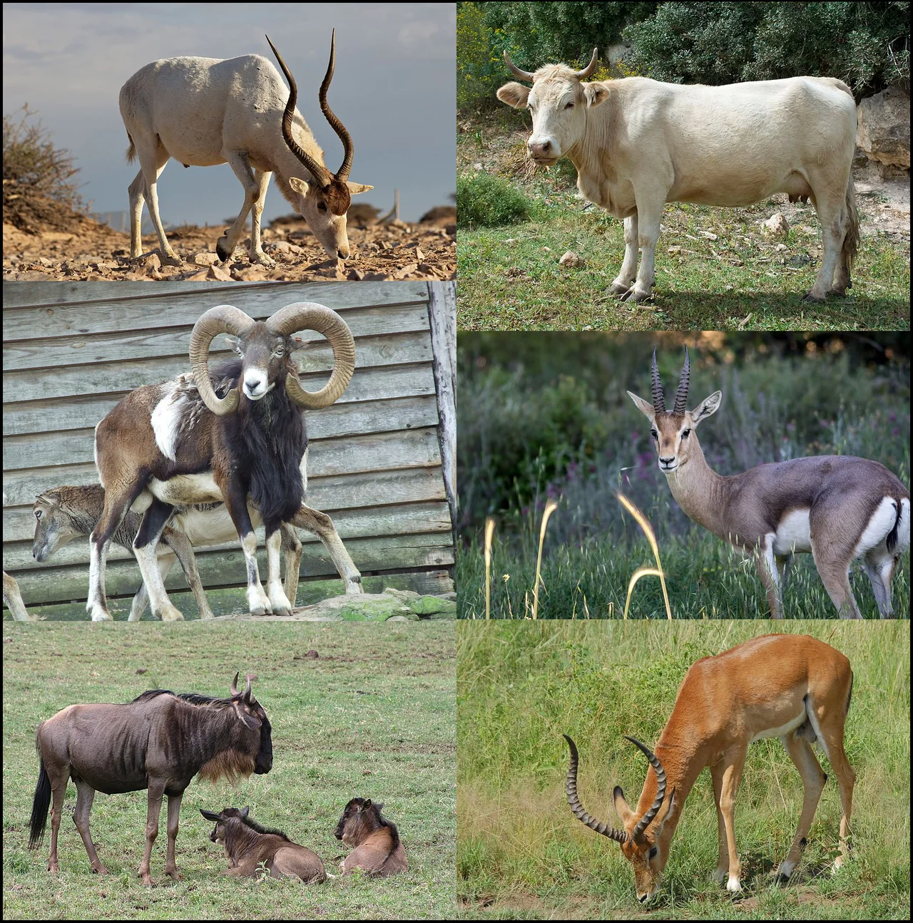
Today the Dongola Reach gets about 23 millimeters of rain a year. When R12 was active, it got far more. The Intertropical Convergence Zone sat further north than it does now, pulling monsoon rain into what is now bone-dry desert. The Nile flooded more vigorously. The land around R12 supported cattle, sheep, goats, gazelles, monkeys, elephants, and hippopotamus - all attested in the faunal remains from the cemetery and its environs. The pastoralists at R12 also ate plants: cereal grains of Hordeum and wheat of Triticum, the earliest samples of these genera found so far in the region. That is striking. Evidence of Triticeae grains at R12 predates confirmed farming in Egypt - suggesting earlier connections between the Sahara and southwest Asia than scholars once assumed. This was a world that no longer exists. Climate closed it down, slowly, starting around 4300 BCE.
Neighbors, Not Cousins
About 400 kilometers north, at Gebel Ramlah in Egypt's western desert, another Neolithic cemetery was excavated - with similar pottery, similar beads, similar pigments, similar grave goods. It was natural to wonder whether the two communities were biologically related. A careful dental study compared teeth from 50 R12 individuals and 59 from Gebel Ramlah, evaluating each tooth under 36 different traits. The conclusion: they were not closely biologically related. And yet they shared so much - the same categories of things, the same ceremonial vocabulary. Cultural exchange in the Green Sahara moved through trade, marriage, and visitation, without requiring shared ancestry. Even their burial positions differed: Gebel Ramlah dead lay on their right side, flexed. R12 dead lay on their left.
From the Air
Located at 19.13N, 30.53E in Sudan's Northern State, on a dry paleochannel about 30 km west of the modern Nile in the Northern Dongola Reach. Recommended viewing altitude: 3,000-5,000 feet AGL to pick out the faint linear trace of the Seleim paleochannel against the surrounding desert. The cemetery itself is a subtle surface feature, more a slight rise than a monument. Nearest major airport is Dongola (HSSW), about 60 km to the east. Khartoum International (HSSS) is approximately 500 km to the south. Expect dry, clear desert air year-round; the site lies in some of the most remote terrain in Sudan.
Nearby Stories
- El Khandaq 29 km away
- Kerma Museum 30 km away
- Nubia 64 km away
- Napata 98 km away
- Northern State (Sudan) 141 km away
- Selima Oasis 233 km away
- Semna (Nubia) 241 km away
- Lake Ptolemy 410 km away