
Rafaela
Rafaela has no coast and no river. Unlike most Argentine cities of its size, it grew up on nothing more promising than flat, open grassland, the depressed pampas of central Santa Fe, where the only water moves in shallow canals dug to drain the fields. And yet from that unremarkable plain rose a city of more than a hundred thousand people, the third largest in the province, a place locals call La Perla del Oeste, the Pearl of the West. The story of how it got there begins with a German land agent and eleven immigrant families who bet their futures on dirt.
Lehmann's Colony
Rafaela was founded in 1881 by Guillermo Lehmann, a German entrepreneur who ran a colonizing company that sold parcels of Santa Fe farmland to European settlers on installment. The first eleven families arrived that year to claim their plots. Lehmann named the new colony Rafaela in honor of Rafaela Rodríguez de Egusquiza, the wife of his friend and business partner Félix Egusquiza, who had owned the land before it was divided. The settlers laid out a tidy grid around a central square, the Plaza 25 de Mayo, with four boulevards radiating from it. The oldest neighborhoods, San Martín chief among them, still trace the outlines of those first years, when a town was being conjured out of pasture one family at a time.
The Railway's Diagonal
Look at a map of Rafaela and one corner refuses to obey. While the city follows a clean grid almost everywhere, the northwest quadrant runs on a stubborn diagonal, its streets cutting across the grain of everything around them. The cause is the railway. When the line reached Rafaela in the late nineteenth century, Bartolomé Mitre Avenue was built at an angle to shorten the route to the stations, and the streets beside it grew up parallel to the tracks rather than to the rest of the town. More than a century later, that single decision still gives the neighborhood a character all its own, a fossil of the age when the train decided how a city should be shaped.
The Milk of a Nation
Rafaela sits at the heart of the largest dairy basin in South America, and dairy made it. Alongside a robust metalworking industry, the milk economy turned a farming colony into one of the region's principal economic engines, a city so connected to global trade that it markets itself as a Gateway to the World. The wealth shows in surprising ways for a town on the plains: more than fifteen towers rise above ten stories, the tallest pair on Mitre Avenue reaching twenty floors and sixty-five meters. Cobblestones still pave the four main avenues, durable and contested, the subject of an ongoing local argument over whether to keep the old stones or pull them up.
The Temple of Speed
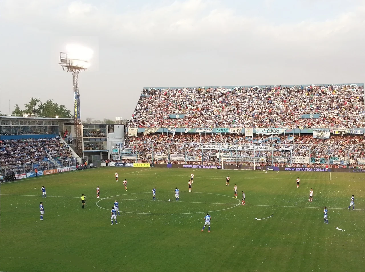
For decades Rafaela was a name that racing drivers spoke with respect. The Atlético de Rafaela club has staged motorsport since 1919, and in the early 1950s it built the Autódromo Ciudad de Rafaela, a vast oval that became known as the temple of speed. It is, remarkably, the longest oval track still in use for racing anywhere in the world. American open-wheel teams came here in the 1970s and found a circuit that demanded total commitment. The 500 Millas Argentinas ran on it for years, and in 2012 a driver pushed a Honda Civic to 306.38 kilometers per hour on its banking, setting an Argentine speed record. On the pampas, where the land lies flat in every direction, Rafaela learned to go fast.
A City That Listens
Rafaela has long taken its civic life seriously. It calls itself the Capital of Theater, with historic halls like the Juan B. Lasserre, whose stage dates to 1932, and an acclaimed theater festival held every year since 2005. In 2008 the city created a dedicated participation office and adopted participatory budgeting, modeled on the celebrated example of Porto Alegre in Brazil, letting residents help decide how public money is spent. Nearly half the population is under thirty, and the city has built universities, technical institutes, and an expanding industrial park to keep them. For a place with no port and no river, Rafaela has spent its whole existence proving that what a town has is less important than what it decides to make.
From the Air
Rafaela lies at approximately 31.27°S, 61.48°W on the flat Pampean plain of central-western Santa Fe Province, about 96 km northwest of Santa Fe city along National Route 34. From the air, look for a compact grid town with a clear central square and radiating boulevards, set in a sea of agricultural fields with no significant river or coastline nearby, a useful identifying trait it shares with neighboring San Francisco. The diagonal streets in the northwest and the cluster of mid-rise towers near the center stand out; the long oval of the Autódromo Ciudad de Rafaela is visible just outside town. Best viewed at 3,000–6,000 ft AGL. Nearest major airports: Sauce Viejo / Santa Fe (SAAV) to the east and Ingeniero Ambrosio Taravella / Córdoba (SACO) to the west.
Nearby Stories
- Sa Pereira Rail Disaster 13 km away
- Santa Fe (city, Argentina) 22 km away
- Moisés Ville 28 km away
- 1973 San Justo Tornado 28 km away
- Battle of Quebracho Herrado 35 km away
- Popular Center of Remembrance 50 km away
- Mar Chiquita Lake 74 km away
- Jesús María, Argentina 213 km away