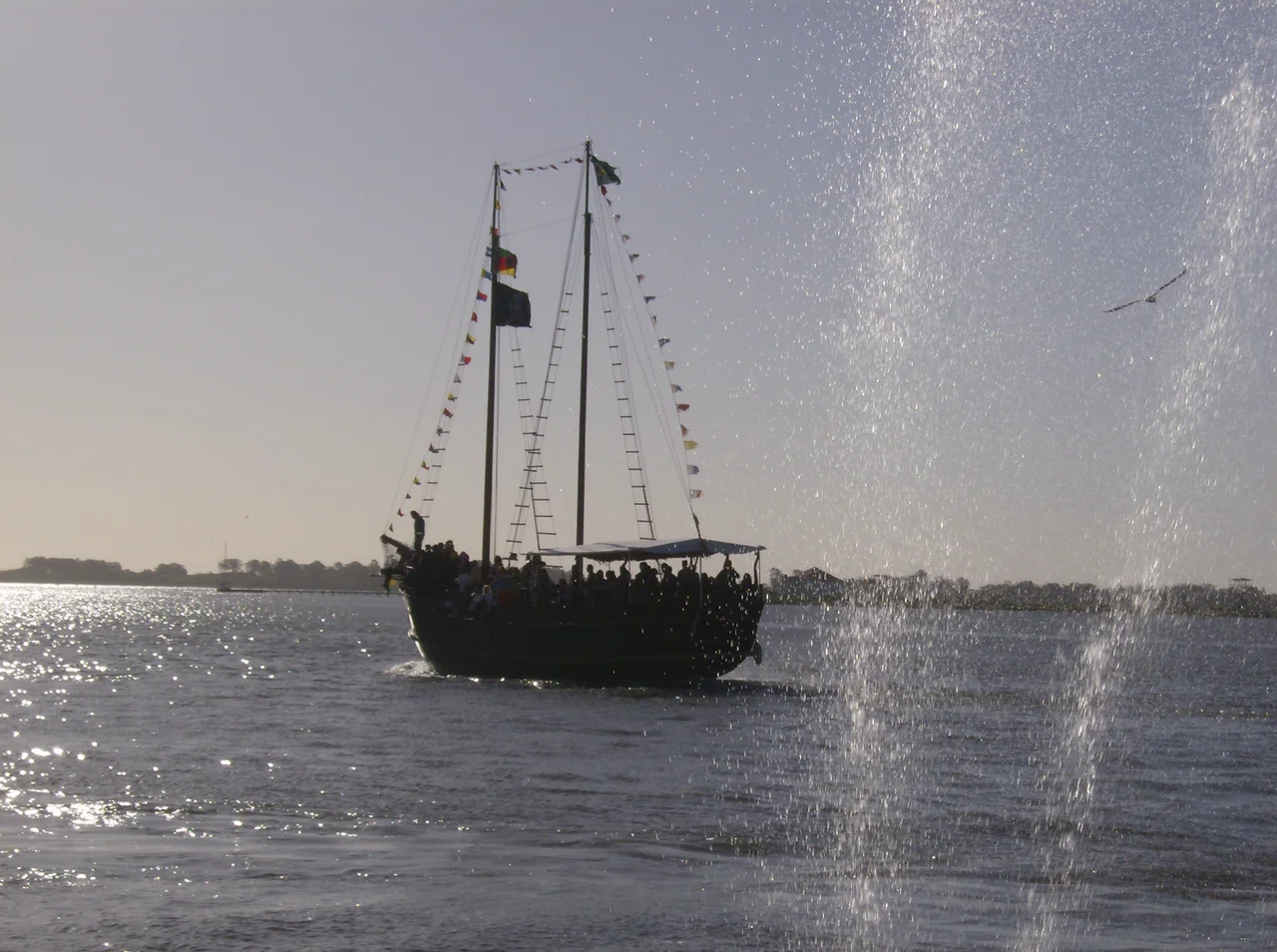

Rio Grande, Rio Grande do Sul
In 1737, a Portuguese brigadier named José da Silva Pais planted a fort on a low sandspit at the edge of the empire, where the Lagoa dos Patos drains into the South Atlantic. He was not building a city. He was drawing a line. Everything south of this windswept channel was contested ground, claimed in turn by Lisbon and Madrid, and the fort of Jesus, Maria e José was Portugal's way of saying: this far, and no farther. From that act of defiance grew Rio Grande, the oldest city in the state that now bears the same name, and one of the great working ports of Brazil.
A Line Drawn in the Sand
The land here barely rises above the water. At its highest, the municipality stands only ten meters above sea level, and the city, ringed by lagoon and ocean, is quietly sinking about a centimeter every year. The name says everything: rio grande, the great river, though it is really a tidal channel running some forty kilometers, mingling the fresh water of the Lagoa dos Patos and Lagoa Mirim with the salt of the Atlantic. Martim Afonso de Sousa's sailors charted this passage in the sixteenth century while hunting for harbors to fortify against French corsairs. Two centuries later, Silva Pais turned their notes into a garrison, and colonists from the Azores and Madeira followed, trading the volcanic islands of their birth for a flat coast of dunes and grass.
The Capital That Fled Here
Rio Grande became a city and a capital in the same breath, and both came out of a war. The conflict was the Ragamuffin War, the long republican revolt that convulsed southern Brazil after 1835. When the revolutionary general Bento Gonçalves da Silva drove the provincial president from Porto Alegre, the government did not simply collapse. It ran roughly three hundred kilometers south to Rio Grande and set up shop. For a decade, until the rebellion ended in 1845, this port at the bottom of the map was the seat of provincial power. The city had already changed hands before: Spanish troops occupied it in 1763, and when Portugal won it back in 1776, frightened families fled north and founded Porto Alegre around their boats. Rio Grande, in other words, helped birth its own future rival.
The Working Water
Strip away the history and Rio Grande is still, first and last, a port. Today it ranks among the busiest in all of Brazil, its cranes and container stacks handling grain, fertilizer, and petroleum bound for the Ipiranga refinery. The wealth is old, built across generations of industry, and it has made Rio Grande one of the richest cities in the state. Out in the lagoon lies the Ilha dos Marinheiros, the Sailors' Island, the largest and most fertile of the lagoon's islands and home to fishing families and small farms. The whole municipality breathes salt air and oceanic weather. Summers are warm, winters cool, and the wind off the water is relentless. Even on mild July days, when the average hovers near thirteen degrees Celsius, the gusts can drive the wind chill down to six.
The Longest Beach on Earth
South of the harbor breakwaters runs a claim few places can match. The Praia do Cassino is widely called the longest beach in the world, an almost unbroken ribbon of sand stretching from the Molhes da Barra at the port's mouth all the way to the Chuí stream on the Uruguayan border. Guinness World Records has recognized it since 1994, though honest geographers note that any such measurement bends to the coastline paradox, where the answer depends on how finely you trace the shore. By most reckonings it runs well over two hundred kilometers. Walk it and the dunes never seem to end, the Atlantic on one side, the Uruguayan savanna of low grasses and planted eucalyptus on the other, the horizon swallowing both.
Where Football Was Born
There is one more first that Rio Grande guards fiercely. On 19 July 1900, a young man of German descent named Johannes Christian Minnemann gathered friends during his birthday celebrations and founded Sport Club Rio Grande, taking the club's red, green, and yellow from the state flag. It became Brazil's oldest active football club, so foundational that the nation now marks its Football Day every 19 July in the club's honor. When the rival Ponte Preta later claimed the title of oldest team, Rio Grande took it to court and, in 2022, won. The club still plays its city derby, the Rio-Rita, against neighbor SC São Paulo, on fields a short walk from the water where the whole story began.
From the Air
Rio Grande sits at 32.04 degrees south, 52.10 degrees west, on the narrow channel linking the Lagoa dos Patos to the Atlantic. The defining visual feature is the harbor inlet and the dead-straight Praia do Cassino running south toward Uruguay, with the vast lagoon spreading north and inland. The municipal terrain is almost perfectly flat, never more than ten meters above sea level, so approaches are unobstructed but exposed to strong, persistent onshore winds. The local field is Rio Grande Airport (SBRG). The nearest larger gateway is Pelotas (SBPK), roughly 50 km northwest across the São Gonçalo Channel; the regional hub is Salgado Filho International in Porto Alegre (SBPA), about 270 km north. Expect humid subtropical conditions, frequent sea breezes, and reduced visibility in coastal fog or frontal passages.
Nearby Stories
- Pelotas 14 km away
- Taim Ecological Station 38 km away
- Jaguarão 65 km away
- Lagoa dos Patos 79 km away
- Lagoa do Peixe National Park 115 km away
- 1957 Bagé VARIG Commando Crash 139 km away
- Melo, Uruguay 139 km away
- Battle of the River Plate 310 km away