Robert Louis Stevenson State Park
Most honeymooners choose beaches or European capitals. Robert Louis Stevenson chose an abandoned silverado mine on the side of a dormant volcano. In the summer of 1880, the thirty-year-old Scottish author, his new American wife Fanny Vandegrift Osbourne, and her twelve-year-old son Lloyd moved into the remains of a miner's cabin on Mount Saint Helena, surrounded by rattlesnakes, poison oak, and some of the finest scenery in Northern California. Stevenson was broke, tubercular, and deliriously happy. The weeks he spent on that mountain produced The Silverado Squatters, a memoir that mixed wine-country travelogue with frontier adventure. Today the park that bears his name encompasses the mountain where he squatted, and the five-mile trail to the 4,339-foot summit passes the very site where Stevenson, Fanny, and Lloyd made their unconventional home.
A Novelist's Unlikely Honeymoon
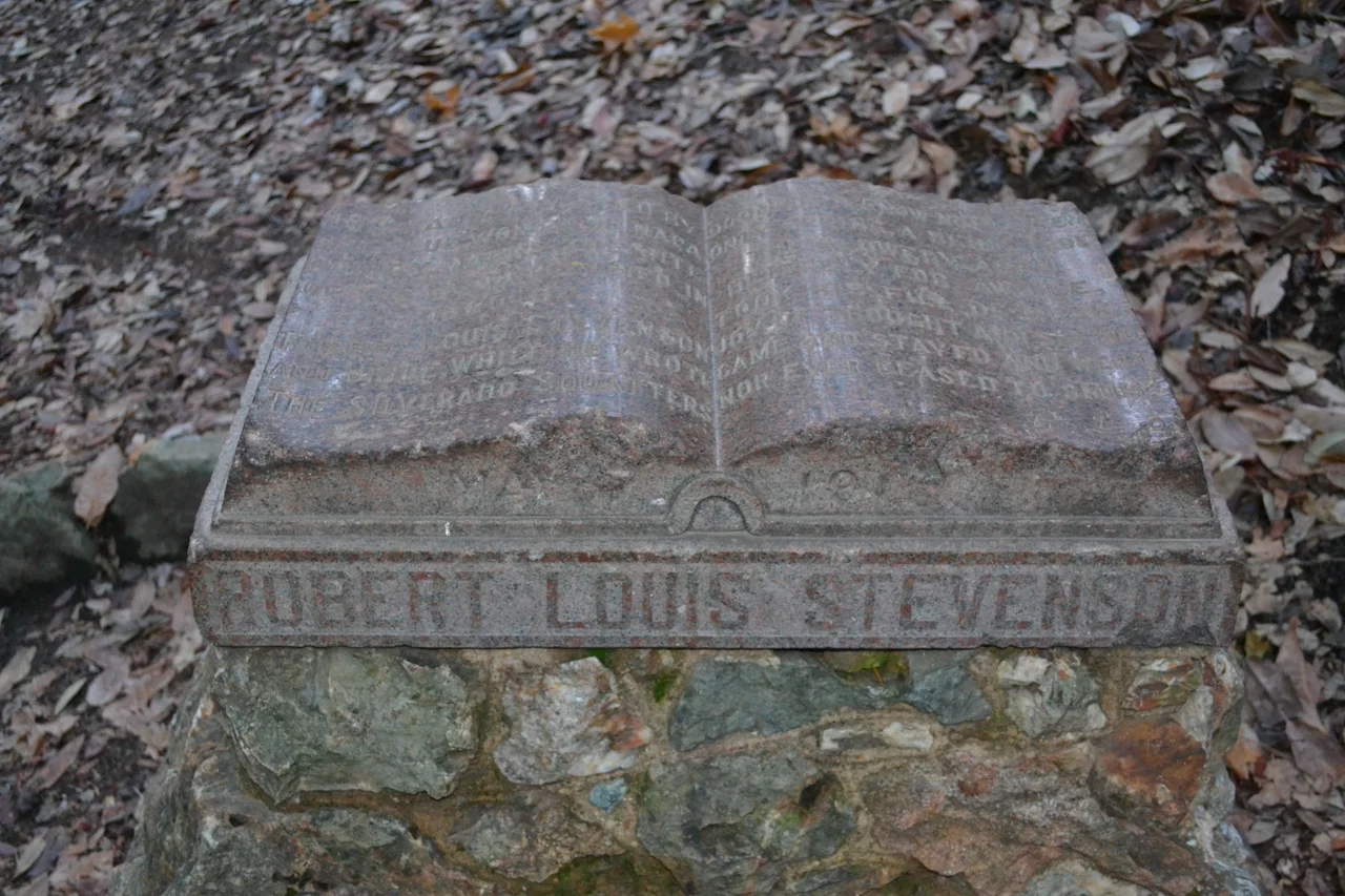
Stevenson had crossed an ocean and a continent to reach Fanny. Born in Edinburgh to a family of lighthouse engineers, he had met Fanny Vandegrift Osbourne in France in 1876. She was eleven years his senior, American, already married, and a mother of two. When she returned to California, Stevenson followed despite his family's objections, arriving half-starved and desperately ill after an emigrant ship crossing and a transcontinental train ride. They married in San Francisco in May 1880, and the honeymoon that followed was less a vacation than a matter of survival: Stevenson needed mountain air for his lungs, and a played-out mine on Mount Saint Helena offered free lodging. The cabin was little more than walls and half a roof. Nothing of it remains today, but a monument on the trail marks the spot, and hikers still stop to read the plaque honoring the man who turned discomfort into literature.
The Mountain That Commands Three Counties
Mount Saint Helena anchors the park and defines its character. At 4,339 feet, it is the highest peak in the Mayacamas Mountains and straddles the borders of Napa, Sonoma, and Lake counties. The five-mile trail from the trailhead on State Route 29 to the summit gains roughly 2,000 feet of elevation, climbing through evergreen forests on north-facing slopes and chaparral on sun-baked southern exposures. The terrain is rough and exposed in places, more wilderness than groomed park trail. But the reward at the top is extraordinary: on clear days, the panorama extends across the Bay Area to the south, over the wine country valleys immediately below, and north to the snowcapped peak of Mount Shasta, 192 miles distant. Few summits in California offer a vista that spans such a range of the state's geography, from coastal fog banks to volcanic peaks.
Where the Squatters Wrote
Stevenson arrived on Mount Saint Helena already composing. Throughout his honeymoon summer, he observed everything: the miners who had preceded him, the vintners carving wineries from the hillsides below, the landscape that shifted between Mediterranean warmth and Scottish-seeming mists. The result was The Silverado Squatters, published in 1883, a book that sits somewhere between memoir and travel writing. Stevenson profiled local characters, documented the infant wine industry, and described the mountain's moods with a novelist's eye for detail. His visit to the nearby Petrified Forest and to early Napa wineries like Schramsberg made it into the book alongside accounts of daily life in the cabin: cooking over a campfire, dodging wildlife, and watching dawn break over the valley from their mountainside perch. The book remains one of the earliest and most vivid literary portraits of the Napa Valley, written before the region had any notion of the fame that lay ahead.
A Landmark Preserved
The park sits along State Route 29 between Calistoga and Middletown, accessible but undeveloped. There is no camping, no visitor center, and no entrance fee. Registered as California Historical Landmark number 710, the park protects both the natural landscape and its literary history. The rugged terrain that made it marginal for development also preserved it: the steep canyons, the chaparral-covered ridges, and the dense forests in the draws remain much as they were when Stevenson wandered them. The park forms part of the Bay Area Ridge Trail, connecting it to a larger network of hiking routes across the region. For visitors who make the full climb to the summit, the experience is not so different from what Stevenson described: the same switchback through oak and fir, the same thinning of the air near the top, and the same astonishing clarity when the view opens up and three counties fall away beneath your feet.
From the Air
Robert Louis Stevenson State Park sits on the slopes of Mount Saint Helena at 38.6534N, 122.603W, the highest peak in the Mayacamas Mountains at 4,339 feet. The summit is a prominent visual landmark from the air, rising above the surrounding wine country valleys. Best viewed from the south or west at 5,000-7,000 feet MSL to see the summit and surrounding terrain. The nearest airports are Napa County Airport (KAPC) approximately 22 nautical miles southeast and Sonoma County Airport (KSTS) approximately 25 nautical miles southwest. On clear days, the summit offers a line of sight to Mount Shasta 192 miles north. State Route 29 is visible winding past the park's trailhead between Calistoga and Middletown.
Nearby Stories
- Bodega Head: Where Two Plates Meet 1.9 km away
- Austin Creek State Recreation Area 2 km away
- The City of San Francisco 4.4 km away
- Vallejo's Sonoma: Where California Changed Hands 5.6 km away
- The Rocky Fire: When a Water Heater Burned 69,000 Acres 5.7 km away
- From Radio Towers to Tribal College: D-Q University 9.3 km away
- The People of the Roundhouse 15 km away
- The Day Two Nuclear Bombs Fell on Yuba City 31 km away