The Fence That Ran to the Sea
It defied a final court order to reach the ocean. On September 10, 1976, when the California Coastal Commission refused to let Christo and Jeanne-Claude's white nylon fence enter the Pacific, the Bulgarian-born artist installed it anyway -- unfurling the last panels into the surf near Bodega Bay as an act of deliberate defiance that became part of the artwork itself. For two weeks, 24.5 miles of shimmering fabric rippled across the golden hills of Sonoma and Marin counties, crossing 14 roads and the private land of 59 ranching families, before vanishing as completely as it had appeared.
Four Years of Persuasion
The idea arrived in 1972, but Christo and Jeanne-Claude would spend the next four years wrestling it into existence. The project required 18 public hearings, three sessions in the Superior Courts of California, and a 450-page Environmental Impact Report. Environmental groups formed the Committee to Stop the Running Fence, citing land-impact concerns, and proceedings ground on through the Coastal Commission, the Marin County Planning Commission, and the Sonoma County Planning Commission. Expressionist painter Byron Randall protested on grounds of both land infringement and artistic merit. But the artists had an unlikely advantage: charisma. Christo visited the 59 ranching families whose land the fence would cross, and his genuine warmth won them over. Joe Pozzi, whose family hosted Christo, recalled that ranchers sensed character in a person, and Christo had it. Pozzi was thirteen when construction began, making him the youngest volunteer on the project.
White Nylon Against Golden Hills
The numbers alone stagger: 2,050 panels of heavy woven white nylon, 200,000 square meters of fabric, hung from steel cables by 350,000 hooks. The cables ran between 2,050 steel poles, each 21 feet long and three and a half inches in diameter, driven three feet into the ground without a single yard of concrete. Ninety miles of steel cable, 14,000 earth anchors, and steel guy wires held the whole thing together against the Pacific wind. The fence stood 18 feet high and began outside Penngrove, crossed Highway 101 and Stony Point Road, meandered along the ridgelines of southwestern Sonoma County, passed through the hamlet of Valley Ford, entered Marin County, and finally descended into the sea near Estero Americano. Barbara Gonnella, a rancher's daughter, remembered the visual experience with emotion: the way it looked running across the hills, shimmering, changing colors in the light and the wind, so incredibly romantic.
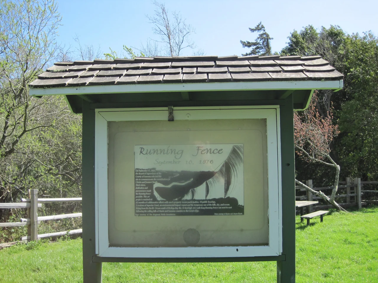
Fourteen Days and Gone
Christo insisted that the temporary nature of the fence was essential to its meaning. After two weeks, 42 months of preparation disappeared. Crews dismantled every pole, rolled every panel, pulled every anchor. All materials were given to the ranchers as thanks. No visible trace remained on the landscape. The project was paid for entirely by Christo and Jeanne-Claude themselves -- no public funds, no corporate sponsorship -- through the sale of preparatory drawings, collages, and scale models. Christo emphasized that Running Fence was not simply an object in a landscape. He considered it a work encompassing its social, legal, and technical dimensions: the hearings were part of it, the rancher negotiations were part of it, and the removal was part of it. The art was the entire process, not just the fabric in the wind.
What Remains
The fence left deeper marks than anyone expected. Historic markers stand at Watson School near Bodega and at State Route 1 in Valley Ford, where in December 1976 the Sonoma County Landmarks Commission designated the site of pole number 7-33 as History Landmark Number 24. The largest remaining intact section of the original fabric hangs below the ceiling of the Rio Theater in Monte Rio, a quiet monument inside a small-town cinema. In 2010, the Smithsonian American Art Museum mounted a major retrospective -- visitors could touch the actual nylon panels and steel poles from the original work. A corroded metal pole still marks the fence's path through Valley Ford at the post office. Perhaps most consequentially, the community dialogue the project provoked about land use and regional identity helped shape Sonoma County's 1978 general plan, which prioritized contained, orderly growth. The fence ran for two weeks. Its influence on how the county thought about itself lasted decades.
From the Air
Located at 38.32N, 122.92W. The fence's 24.5-mile route ran roughly northwest from Penngrove across the hills of southwestern Sonoma County, through Valley Ford, and into the Pacific near Bodega Bay. From 3,000-5,000 feet AGL, the rolling golden hills that once held the fence are clearly visible, with Highway 101 and Stony Point Road as reference lines. Nearby airports include Petaluma Municipal (O69) approximately 8nm east and Sonoma County Airport (KSTS) approximately 15nm north. Bodega Bay and the Pacific coastline provide strong visual orientation.
Nearby Stories
- When Wine Country Shook 3 km away
- Nichelini Winery: Bootleggers, Miners, and Seven Generations of Wine 4.5 km away
- The Hangar That Hollywood Flew Through 6.1 km away
- Wildcat Canyon Regional Park 6.3 km away
- Pacifica Foundation 17 km away
- The Sea Ranch 25 km away
- Gualala River 61 km away
- ʻAkaka Falls State Park 3660 km away