San Vicente del Caguán
For four years, this cattle town on the Caguán River held the attention of the world. Between 1998 and 2002, San Vicente del Caguán sat at the heart of the demilitarized zone - a piece of Colombia the size of Switzerland that the government had ceded to the FARC guerrillas as the price of talking peace. When the talks collapsed, the cameras left. The people who had lived through the experiment stayed. Today, sixty-eight thousand of them still do.
Where the Andes End
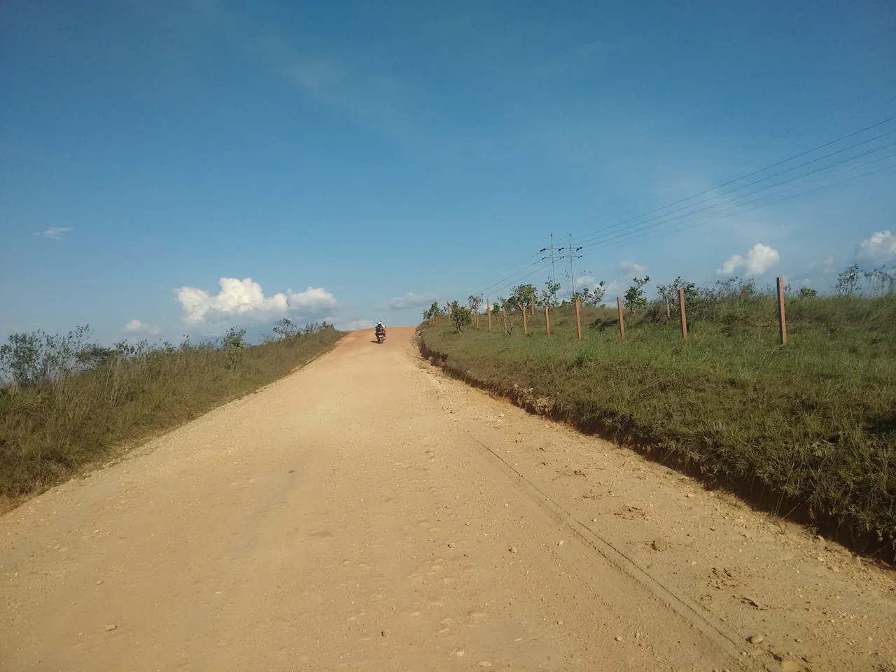
The Caguán basin lies at the threshold where the Eastern Cordillera of the Andes breaks apart into the Amazon lowlands. San Vicente itself sits at roughly two degrees north of the equator, in the basin shared by the Caguán and Yarí rivers, 151 kilometers northeast of the departmental capital of Florencia. To reach it from Florencia, you follow the Marginal de la Selva Highway for about three hours through foothill forest that gradually flattens into pasture. From Neiva in Huila, the trip takes twice as long, winding through the town of Guayabal before descending. Small aircraft land at Eduardo Falla Solano airport, which links San Vicente to the scattered settlements of the Colombian Amazon. It is, by some measures, the second most important city in that enormous region - though calling anywhere out here a city stretches the word.
Cattle, Axes, and Exotic Fruit
The economy runs on livestock, aquaculture, and fruits with names most Colombians outside the region have never heard: arazá, cocona, cupoazú, maraco. In the Parque de los Fundadores stands the Monument to the Colonizers, an ax-shaped sculpture cast in ferro-concrete by Fabio Sepúlveda in 1977. It honors the settlers who, as the plaque explains, opened space between the trees of the Eastern Cordillera with their axes, and turned forest into the pastures where zebu cattle now graze. The framing is unambiguous: clearing the jungle was an act of national achievement. Another monument at the town's main entrance, three figures in cast iron concrete by Ramiro Murillo, commemorates the first settlers who arrived along the Camino Real from Algeciras, Huila - a 200-kilometer road once used to carry quinine bark and rubber out of the forest at the close of the nineteenth century.
The Zone
On 7 November 1998, President Andrés Pastrana withdrew the Colombian military from a zone of roughly 42,000 square kilometers - including San Vicente - to begin peace negotiations with the Revolutionary Armed Forces of Colombia. San Vicente became, in effect, the negotiating capital. Journalists, diplomats, and international observers flew in. Guerrilla commanders held press conferences. And ordinary townspeople continued to raise cattle, send children to school, and sell fruit at the market, living under a political experiment nobody had asked them to host. The talks ended on 20 February 2002 when Pastrana ordered the military back in. Within forty-eight hours, San Vicente was again a town inside the country it had never really left. What the four years had meant - to the people who stayed through them - is a story the monuments do not tell.
Waterfalls and Canyons
Outside the urban area the land turns wild. The Salto de la Danta drops eighty meters in a series of falls, collecting in a deep pool where catfish hunt. Salto de San Venancio falls forty meters through heliconias and bromeliads where primates move in the upper canopy. The Pato River has carved a three-kilometer canyon through rock formations only forty meters wide at the bottom, and the guácharos - the oilbirds with their sonar-like clicks - nest in caves along the upper walls. A suspension bridge built in 1973, with towers eight meters high and a span of 120 meters, links the neighborhoods of El Jardín and Puerto Redondo across the Caguán. In summer, when the river drops and exposes sandbanks up to five kilometers long, about five thousand people gather for camping, races, and concerts on what becomes a temporary beach. The Yariseño Folkloric Festival in June and July fills the streets with horseback parades and the region's signature dance - a 1970s fusion of joropo, bambuco, and pasillo whose asymmetric rhythms, locals say, express the balance between the universe and the natural world.
Three National Parks
San Vicente's municipal jurisdiction touches three of Colombia's most significant protected areas. The Cordillera de los Picachos National Natural Park holds the tropical mountain ecosystems of the Pato River basin, home to páramo tapirs and the torrent duck. Sierra de la Macarena, partially shared with the neighboring municipality of the same name, protects the petroglyphs and pictograms left along the Duda and Guayabero rivers by peoples who lived here long before Spanish conquest. And Sierra de Chiribiquete - declared a UNESCO World Heritage Site - extends into the municipality's southern reaches, preserving the rock walls once painted by the Carijona people and the tepui-like mesas that rise abruptly from the forest. From the air, at any reasonable cruising altitude, the geometry is obvious: San Vicente marks the line where one Colombia ends and another begins.
From the Air
Located at 2.12°N, 74.77°W in the Caquetá department of southern Colombia. Eduardo Falla Solano airport (SVI) serves the town; nearest larger facility is Gustavo Artunduaga Paredes in Florencia (FLA) 151 km southwest. Best viewed at 3,000-8,000 feet AGL in dry season (December-March) when the Caguán River exposes its distinctive sandbanks. Look for the grid of cattle pastures meeting the darker forest edge along the Sierra de los Picachos.
Nearby Stories
- La Macarena 44 km away
- San Agustín culture 117 km away
- Popayán 155 km away
- Tolima Department 177 km away
- Villavicencio 197 km away
- Une 229 km away
- Cuyabeno Wildlife Reserve 260 km away
- Great Depression in Latin America 512 km away